

Do Špiček a zpět
A cycling route starting in Hranice, Olomoucký kraj, Czechia.
Overview
About this route
- 1 h 44 min
- Duration
- 26.4 km
- Distance
- 200 m
- Ascent
- 259 m
- Descent
- 15.3 km/h
- Avg. speed
- 344 m
- Max. altitude
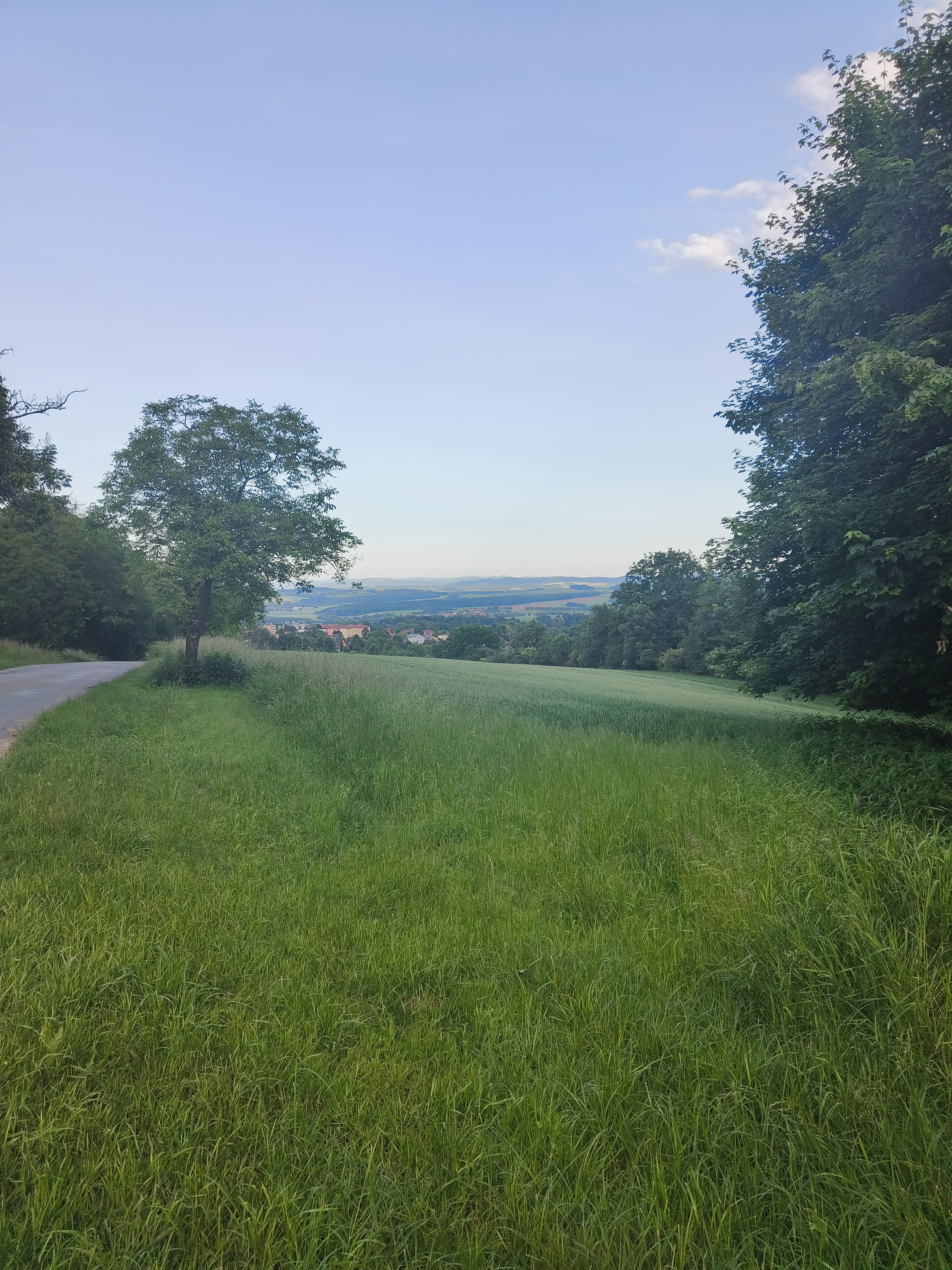
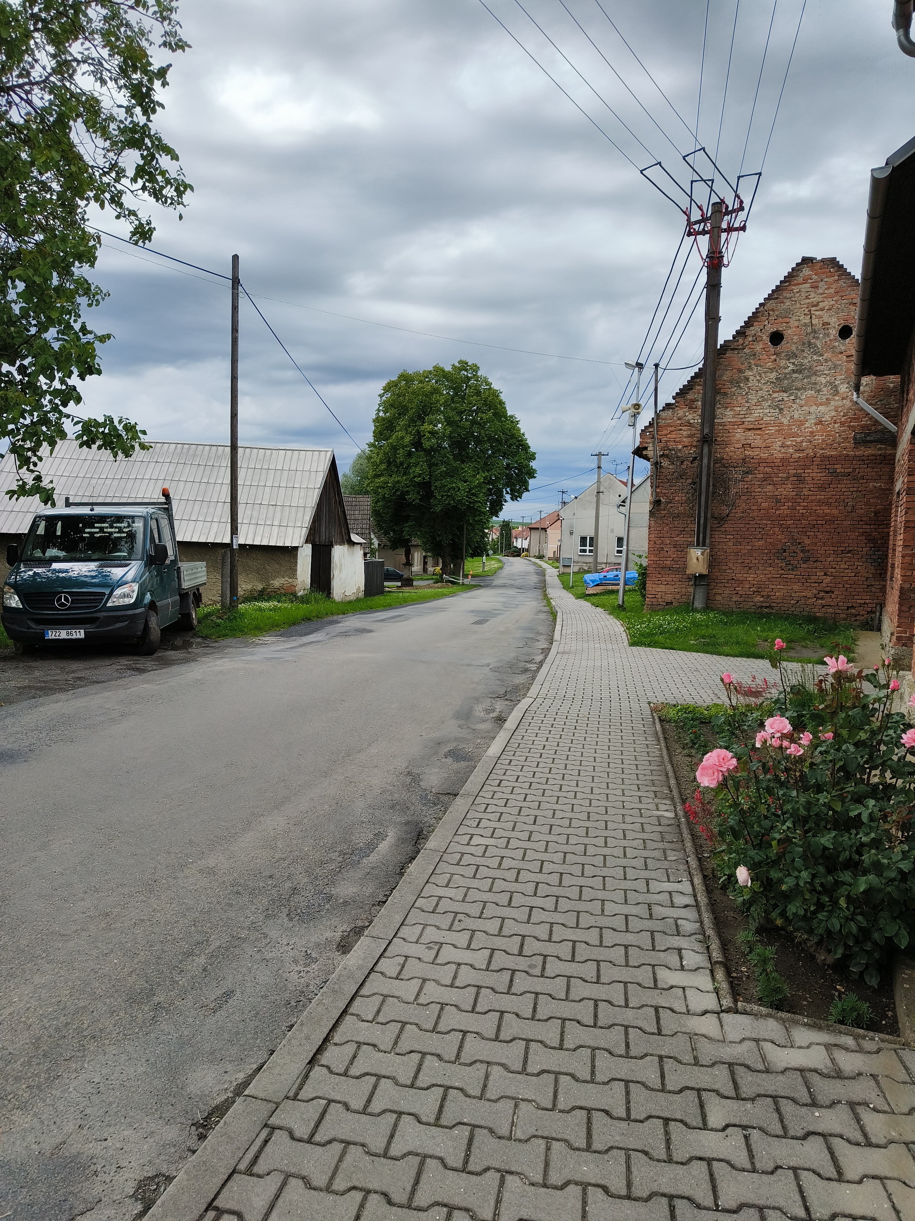
Route photos


Continue with Bikemap
Use, edit, or download this cycling route
You would like to ride Do Špiček a zpět or customize it for your own trip? Here is what you can do with this Bikemap route:
Free features
- Save this route as favorite or in collections
- Copy & plan your own version of this route
- Sync your route with Garmin or Wahoo
Premium features
Free trial for 3 days, or one-time payment. More about Bikemap Premium.
- Navigate this route on iOS & Android
- Export a GPX / KML file of this route
- Create your custom printout (try it for free)
- Download this route for offline navigation
Discover more Premium features.
Get Bikemap PremiumFrom our community
Other popular routes starting in Hranice
 Středné delší trasa
- Distance
- 75.6 km
- Ascent
- 629 m
- Descent
- 629 m
- Location
- Hranice, Olomoucký kraj, Czechia
- Do Špiček a zpět
- Distance
- 26.4 km
- Ascent
- 200 m
- Descent
- 259 m
- Location
- Hranice, Olomoucký kraj, Czechia
 Struhlovsko do Vítonice
- Distance
- 18.5 km
- Ascent
- 234 m
- Descent
- 271 m
- Location
- Hranice, Olomoucký kraj, Czechia
 10 ETAP 5 czerwca niedziela
- Distance
- 135.9 km
- Ascent
- 658 m
- Descent
- 608 m
- Location
- Hranice, Olomoucký kraj, Czechia
 Svatební cesta do Jiljí den sedmý
- Distance
- 71.3 km
- Ascent
- 278 m
- Descent
- 225 m
- Location
- Hranice, Olomoucký kraj, Czechia
 Okruh do Jezernice
- Distance
- 37.6 km
- Ascent
- 361 m
- Descent
- 353 m
- Location
- Hranice, Olomoucký kraj, Czechia
 Hranice - Přerov na kole kolem Bečvy
- Distance
- 29.4 km
- Ascent
- 101 m
- Descent
- 147 m
- Location
- Hranice, Olomoucký kraj, Czechia
 mega rizz alfa cesta
- Distance
- 31.6 km
- Ascent
- 223 m
- Descent
- 212 m
- Location
- Hranice, Olomoucký kraj, Czechia
Open it in the app