Mickelson Full 218-mile out and back
Mickelson Trail Day 5 Hill City to Deadwood
A cycling route starting in Custer, South Dakota, United States.
Overview
About this route
- 7 h 34 min
- Duration
- 79.1 km
- Distance
- 724 m
- Ascent
- 846 m
- Descent
- 10.4 km/h
- Avg. speed
- 1,901 m
- Max. altitude
Part of
Route quality
Waytypes & surfaces along the route
Waytypes
Cycleway
72.8 km
(92 %)
Road
3.2 km
(4 %)
Surfaces
Paved
2.4 km
(3 %)
Unpaved
72.8 km
(92 %)
Gravel
60.9 km
(77 %)
Loose gravel
11.9 km
(15 %)
Continue with Bikemap
Use, edit, or download this cycling route
You would like to ride Mickelson Trail Day 5 Hill City to Deadwood or customize it for your own trip? Here is what you can do with this Bikemap route:
Free features
- Save this route as favorite or in collections
- Copy & plan your own version of this route
- Sync your route with Garmin or Wahoo
Premium features
Free trial for 3 days, or one-time payment. More about Bikemap Premium.
- Navigate this route on iOS & Android
- Export a GPX / KML file of this route
- Create your custom printout (try it for free)
- Download this route for offline navigation
Discover more Premium features.
Get Bikemap PremiumFrom our community
Other popular routes starting in Custer
Route in Custer- Distance
- 144.5 km
- Ascent
- 1,205 m
- Descent
- 1,206 m
- Location
- Custer, South Dakota, United States
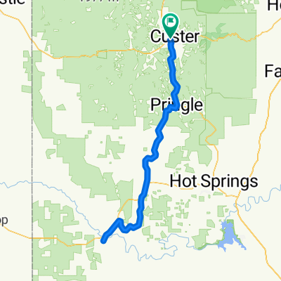
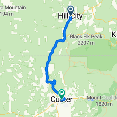
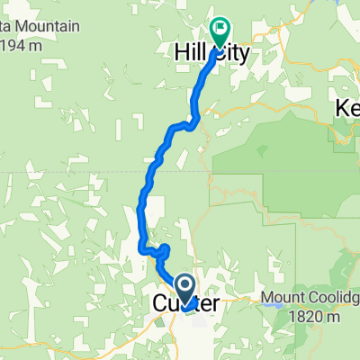
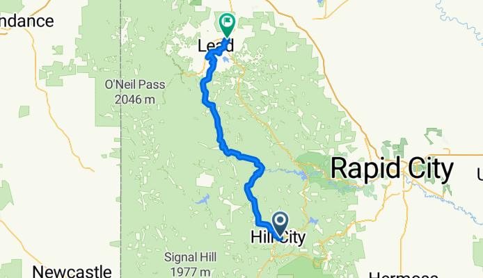
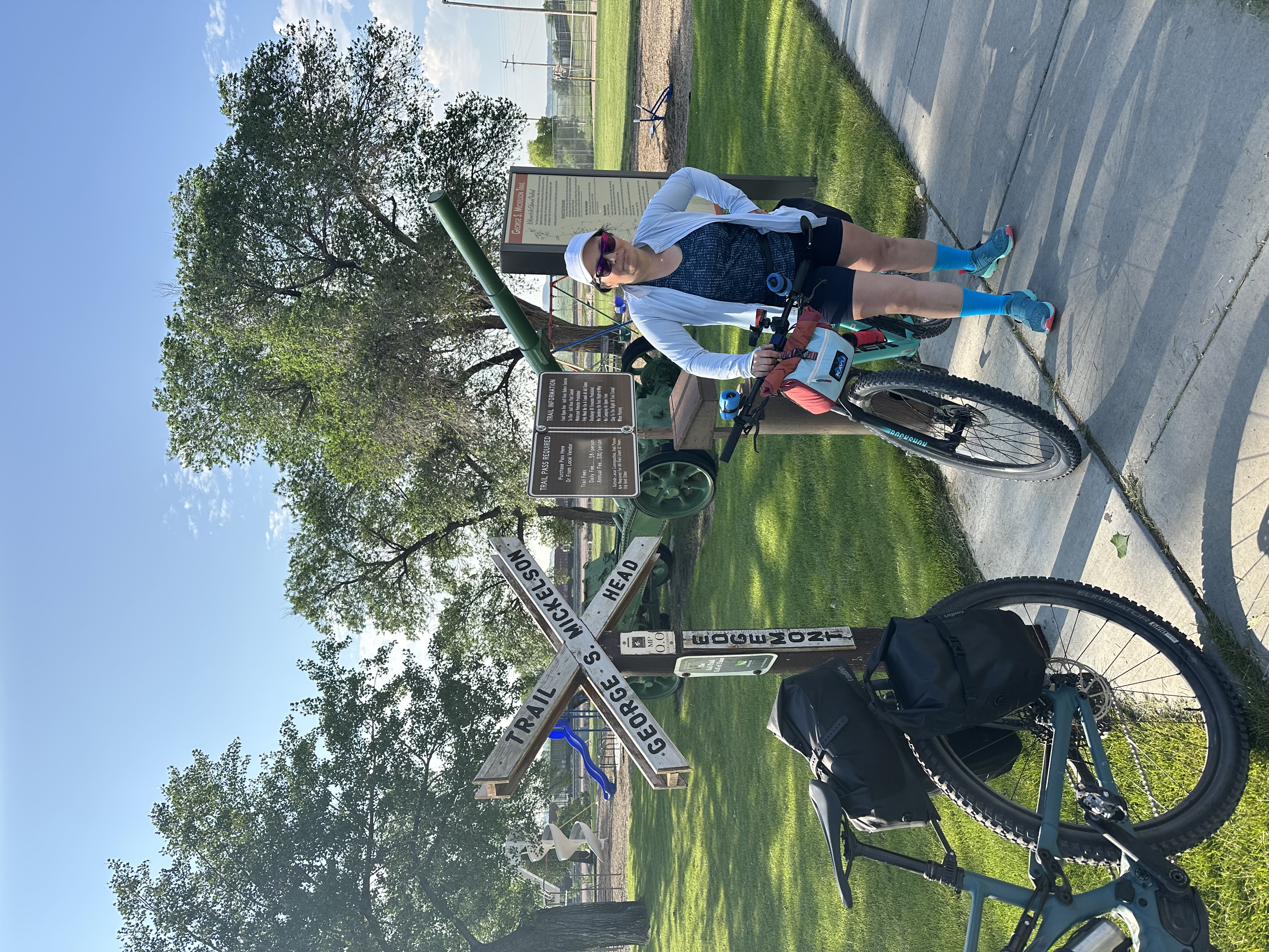
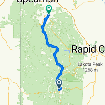
From Custer to Deadwood- Distance
- 103.7 km
- Ascent
- 1,822 m
- Descent
- 2,059 m
- Location
- Custer, South Dakota, United States
Rushmore- Distance
- 23 km
- Ascent
- 488 m
- Descent
- 2,020 m
- Location
- Custer, South Dakota, United States
Needles to Bison Park- Distance
- 10.8 km
- Ascent
- 424 m
- Descent
- 453 m
- Location
- Custer, South Dakota, United States
U.S. 16A, Keystone to South Dakota 244 13024, Keystone- Distance
- 24.4 km
- Ascent
- 1,203 m
- Descent
- 1,271 m
- Location
- Custer, South Dakota, United States
Mickelson Trail Custer to Hill City Day 4 Recovery day- Distance
- 28.6 km
- Ascent
- 188 m
- Descent
- 293 m
- Location
- Custer, South Dakota, United States
Mickelson Trail, Custer to Mickelson Trail, Custer- Distance
- 12.2 km
- Ascent
- 134 m
- Descent
- 134 m
- Location
- Custer, South Dakota, United States
Easy ride- Distance
- 40.6 km
- Ascent
- 272 m
- Descent
- 256 m
- Location
- Custer, South Dakota, United States
Open it in the app


