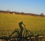
Fünf-Flüsse-Radweg
A cycling route starting in Amberg, Bavaria, Germany.
Overview
About this route
The route of the Five Rivers Cycle Path from Amberg to Neukirchen is relatively flat, with few elevations, and is manageable even for non-sporty cyclists. The cycle path runs very close to the road, so the route is paved and only in a few small sections there are gravel or pebble paths. The cycle path often goes through beautiful nature and there is much to discover.
- -:--
- Duration
- 22.9 km
- Distance
- 216 m
- Ascent
- 146 m
- Descent
- ---
- Avg. speed
- ---
- Max. altitude
Route quality
Waytypes & surfaces along the route
Waytypes
Quiet road
10.3 km
(45 %)
Cycleway
5.3 km
(23 %)
Surfaces
Paved
21 km
(92 %)
Unpaved
0.2 km
(1 %)
Asphalt
19.7 km
(86 %)
Paved (undefined)
1.4 km
(6 %)
Route highlights
Points of interest along the route
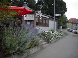
Point of interest after 0 km
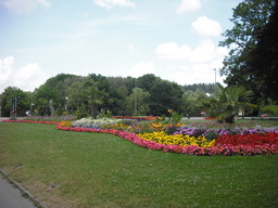
Point of interest after 0.1 km
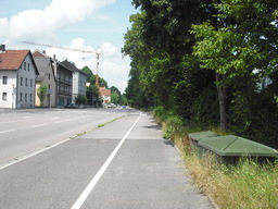
Point of interest after 0.4 km
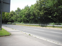
Point of interest after 0.7 km
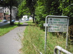
Point of interest after 1 km
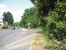
Point of interest after 1.2 km
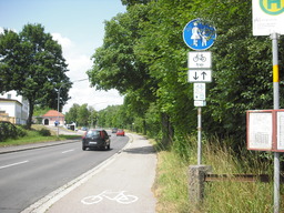
Point of interest after 1.3 km
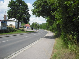
Point of interest after 1.4 km
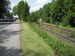
Point of interest after 1.9 km
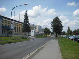
Point of interest after 2.1 km
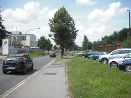
Point of interest after 2.2 km
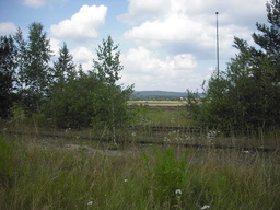
Point of interest after 2.7 km
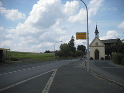
Point of interest after 2.9 km
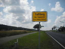
Point of interest after 3.7 km
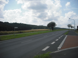
Point of interest after 3.9 km
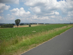
Point of interest after 4.3 km
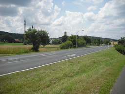
Point of interest after 4.6 km
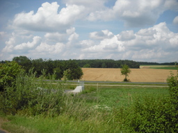
Point of interest after 5.4 km
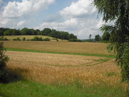
Point of interest after 6.5 km
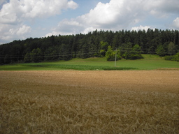
Point of interest after 7.3 km
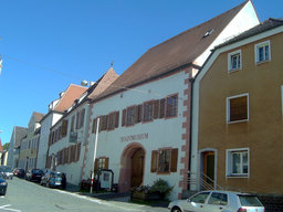
Point of interest after 11.9 km
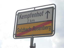
Point of interest after 13.3 km
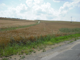
Point of interest after 13.6 km
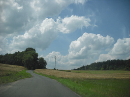
Point of interest after 14 km
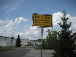
Point of interest after 15.5 km
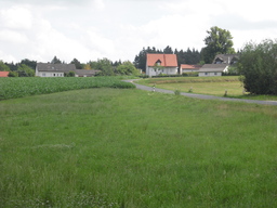
Point of interest after 15.5 km
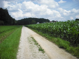
Point of interest after 15.8 km
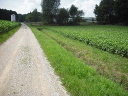
Point of interest after 15.9 km
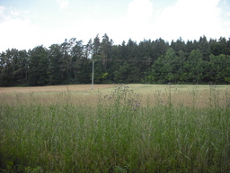
Point of interest after 16.2 km
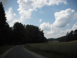
Point of interest after 17 km
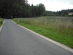
Point of interest after 17.6 km
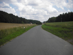
Point of interest after 18.6 km
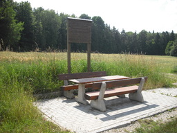
Point of interest after 19.2 km
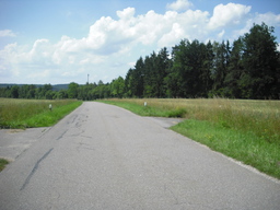
Point of interest after 19.8 km
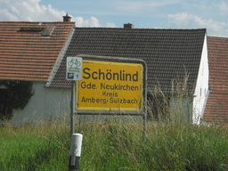
Point of interest after 20.6 km
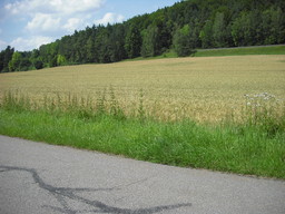
Point of interest after 21.3 km
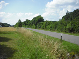
Point of interest after 21.6 km
Continue with Bikemap
Use, edit, or download this cycling route
You would like to ride Fünf-Flüsse-Radweg or customize it for your own trip? Here is what you can do with this Bikemap route:
Free features
- Save this route as favorite or in collections
- Copy & plan your own version of this route
- Sync your route with Garmin or Wahoo
Premium features
Free trial for 3 days, or one-time payment. More about Bikemap Premium.
- Navigate this route on iOS & Android
- Export a GPX / KML file of this route
- Create your custom printout (try it for free)
- Download this route for offline navigation
Discover more Premium features.
Get Bikemap PremiumFrom our community
Other popular routes starting in Amberg
 GeoTour2
- Distance
- 47.6 km
- Ascent
- 358 m
- Descent
- 358 m
- Location
- Amberg, Bavaria, Germany
 5-Flüsse Amberg - Regensburg
- Distance
- 71.8 km
- Ascent
- 224 m
- Descent
- 263 m
- Location
- Amberg, Bavaria, Germany
 Campingplatz in rieden
- Distance
- 17 km
- Ascent
- 54 m
- Descent
- 69 m
- Location
- Amberg, Bavaria, Germany
 Aschach via Mausberg und Freudenberg Rundkurs mit Einkehr Landhotel Aschenbrenner
- Distance
- 49.6 km
- Ascent
- 600 m
- Descent
- 599 m
- Location
- Amberg, Bavaria, Germany
 Amberg-Johannisberg-Buchberg-Mimbach
- Distance
- 44.9 km
- Ascent
- 740 m
- Descent
- 728 m
- Location
- Amberg, Bavaria, Germany
 Citytriathlon Amberg - CTA 2011 - 10km Runde
- Distance
- 10.6 km
- Ascent
- 87 m
- Descent
- 89 m
- Location
- Amberg, Bavaria, Germany
 Raigering - Trisching - Ellersdorf - Freudenberg - Raigering
- Distance
- 36 km
- Ascent
- 459 m
- Descent
- 459 m
- Location
- Amberg, Bavaria, Germany
 Fünf Flüsse Tour an 7 Tagen
- Distance
- 300.9 km
- Ascent
- 451 m
- Descent
- 451 m
- Location
- Amberg, Bavaria, Germany
Open it in the app


