
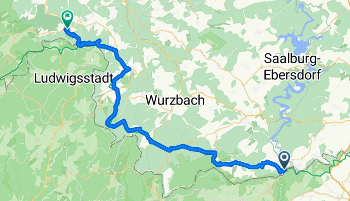
Grünes Band 2. Etappe
A cycling route starting in Blankenstein, Thuringia, Germany.
Overview
About this route
- 3 h 24 min
- Duration
- 43.1 km
- Distance
- 848 m
- Ascent
- 952 m
- Descent
- 12.7 km/h
- Avg. speed
- 743 m
- Max. altitude
Route quality
Waytypes & surfaces along the route
Waytypes
Track
20.7 km
(48 %)
Road
6 km
(14 %)
Surfaces
Paved
9.9 km
(23 %)
Unpaved
21.1 km
(49 %)
Gravel
15.5 km
(36 %)
Asphalt
9 km
(21 %)
Continue with Bikemap
Use, edit, or download this cycling route
You would like to ride Grünes Band 2. Etappe or customize it for your own trip? Here is what you can do with this Bikemap route:
Free features
- Save this route as favorite or in collections
- Copy & plan your own version of this route
- Sync your route with Garmin or Wahoo
Premium features
Free trial for 3 days, or one-time payment. More about Bikemap Premium.
- Navigate this route on iOS & Android
- Export a GPX / KML file of this route
- Create your custom printout (try it for free)
- Download this route for offline navigation
Discover more Premium features.
Get Bikemap PremiumFrom our community
Other popular routes starting in Blankenstein
 Rennsteig Radweg Tag 1
- Distance
- 75.7 km
- Ascent
- 826 m
- Descent
- 508 m
- Location
- Blankenstein, Thuringia, Germany
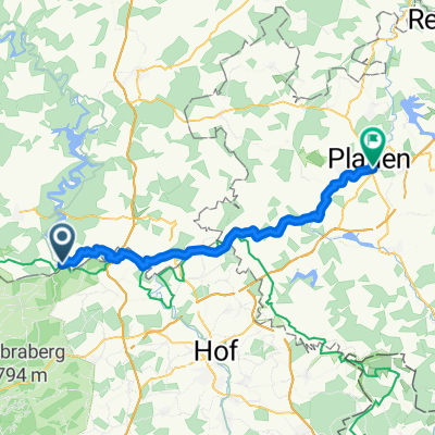
 L2372 nach Ziegenrück
- Distance
- 48 km
- Ascent
- 954 m
- Descent
- 1,086 m
- Location
- Blankenstein, Thuringia, Germany
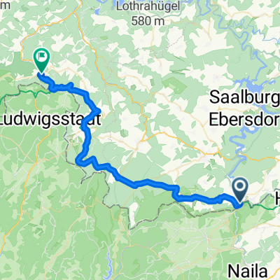
 3. Etappe Blankenstein - Neudietendorf
- Distance
- 141.9 km
- Ascent
- 1,093 m
- Descent
- 1,294 m
- Location
- Blankenstein, Thuringia, Germany
 Grünes Band 2. Etappe
- Distance
- 43.1 km
- Ascent
- 848 m
- Descent
- 952 m
- Location
- Blankenstein, Thuringia, Germany
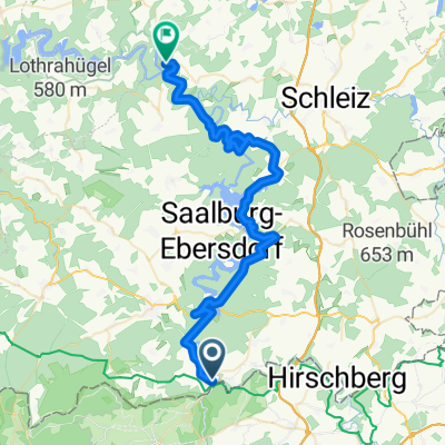
 Blankenstein - Plauen
- Distance
- 44.3 km
- Ascent
- 630 m
- Descent
- 735 m
- Location
- Blankenstein, Thuringia, Germany
 RSSL_2012_1
- Distance
- 16.7 km
- Ascent
- 401 m
- Descent
- 120 m
- Location
- Blankenstein, Thuringia, Germany
 Rennsteig: Blankenstein - Hörschel
- Distance
- 165 km
- Ascent
- 1,273 m
- Descent
- 1,497 m
- Location
- Blankenstein, Thuringia, Germany
 Radtour 2011 - Rennsteig
- Distance
- 164.4 km
- Ascent
- 1,418 m
- Descent
- 1,628 m
- Location
- Blankenstein, Thuringia, Germany
Open it in the app