

Lausiger-Teich-Straße, Bad Schmiedeberg nach Lausiger-Teich-Straße, Bad Schmiedeberg
A cycling route starting in Pretzsch, Saxony-Anhalt, Germany.
Overview
About this route
- 25 min
- Duration
- 59.8 km
- Distance
- 125 m
- Ascent
- 129 m
- Descent
- 143.9 km/h
- Avg. speed
- 125 m
- Max. altitude

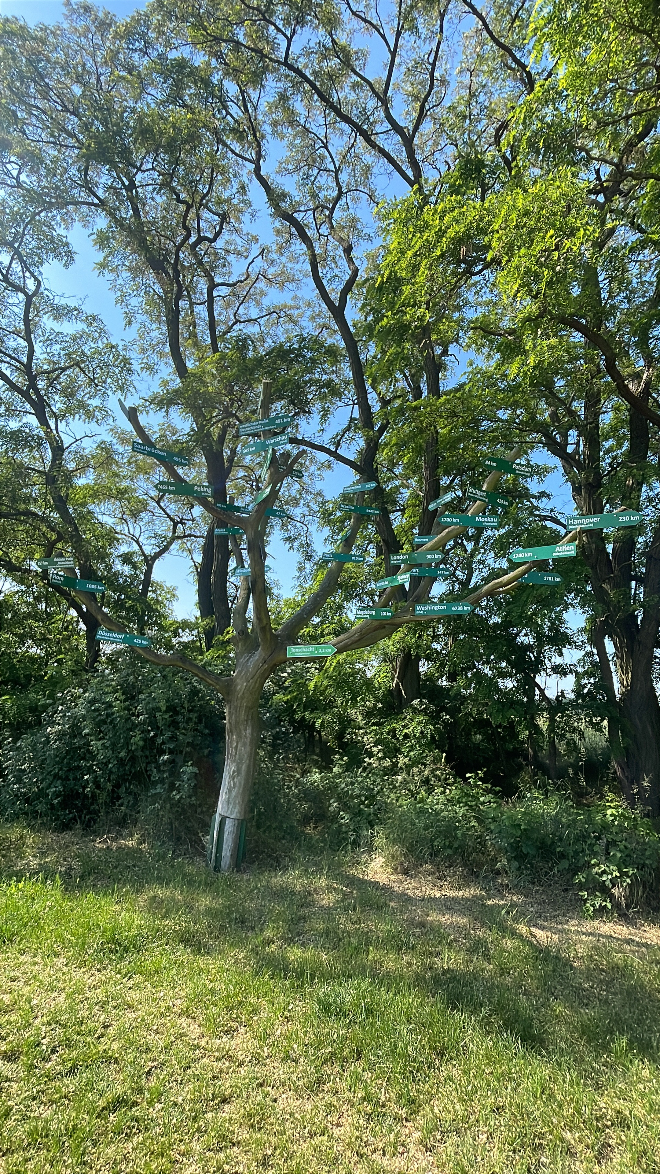
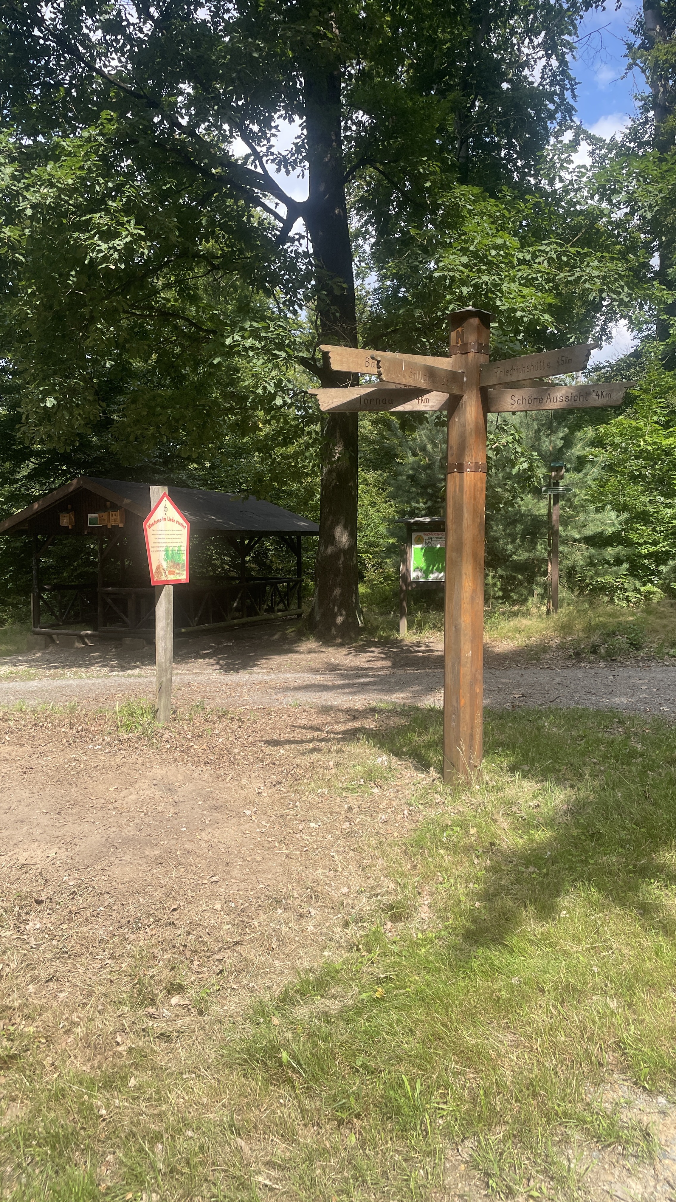
Route photos


Route quality
Waytypes & surfaces along the route
Waytypes
Track
31.7 km
(53 %)
Quiet road
11.4 km
(19 %)
Surfaces
Paved
31.7 km
(53 %)
Unpaved
1.2 km
(2 %)
Asphalt
23.9 km
(40 %)
Paved (undefined)
7.2 km
(12 %)
Continue with Bikemap
Use, edit, or download this cycling route
You would like to ride Lausiger-Teich-Straße, Bad Schmiedeberg nach Lausiger-Teich-Straße, Bad Schmiedeberg or customize it for your own trip? Here is what you can do with this Bikemap route:
Free features
- Save this route as favorite or in collections
- Copy & plan your own version of this route
- Sync your route with Garmin or Wahoo
Premium features
Free trial for 3 days, or one-time payment. More about Bikemap Premium.
- Navigate this route on iOS & Android
- Export a GPX / KML file of this route
- Create your custom printout (try it for free)
- Download this route for offline navigation
Discover more Premium features.
Get Bikemap PremiumFrom our community
Other popular routes starting in Pretzsch
- Lausiger-Teich-Straße, Bad Schmiedeberg nach Lausiger-Teich-Straße, Bad Schmiedeberg
- Distance
- 59.8 km
- Ascent
- 125 m
- Descent
- 129 m
- Location
- Pretzsch, Saxony-Anhalt, Germany
 Lausiger-Stausee Dahlenberg-Bad Schmiedeberg
- Distance
- 22.6 km
- Ascent
- 180 m
- Descent
- 167 m
- Location
- Pretzsch, Saxony-Anhalt, Germany
 Kleindröben-Neuborna
- Distance
- 94.4 km
- Ascent
- 124 m
- Descent
- 132 m
- Location
- Pretzsch, Saxony-Anhalt, Germany
 Lausiger Teich-Stausee Dahlenberg-Söllichau-Reinharz-Lausiger Teich
- Distance
- 37.7 km
- Ascent
- 277 m
- Descent
- 278 m
- Location
- Pretzsch, Saxony-Anhalt, Germany
 Elberadweg
- Distance
- 361.5 km
- Ascent
- 284 m
- Descent
- 351 m
- Location
- Pretzsch, Saxony-Anhalt, Germany
 Trebitz-Dommitzsch-Trebitz
- Distance
- 38.7 km
- Ascent
- 104 m
- Descent
- 108 m
- Location
- Pretzsch, Saxony-Anhalt, Germany
 Trebitz - Laußiger Teiche - Söllichau - Trebitz
- Distance
- 49.1 km
- Ascent
- 450 m
- Descent
- 451 m
- Location
- Pretzsch, Saxony-Anhalt, Germany
 Heidetour von Trebitz aus
- Distance
- 44.6 km
- Ascent
- 504 m
- Descent
- 504 m
- Location
- Pretzsch, Saxony-Anhalt, Germany
Open it in the app