B48, Sembach to Ramstein-Miesenbach
- 34.6 km
- 585 m
- 603 m
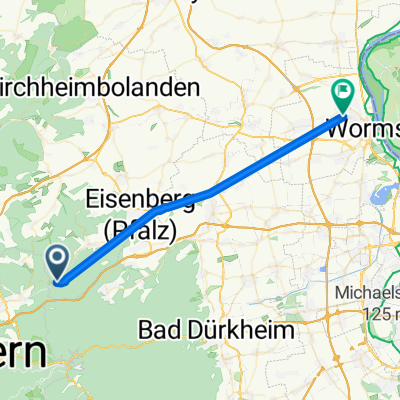
- Neuhemsbach, Rhineland-Palatinate, Germany
A cycling route starting in Neuhemsbach, Rhineland-Palatinate, Germany.
Overview
I saw something on the map about a secluded valley without steep inclines
total flop
valley in the forest not findable, on the road ONLY up and down
you don't need to ride this tour!
created this 13 years ago
Route quality
Track
5.2 km
(26 %)
Road
3.6 km
(18 %)
Paved
12.7 km
(64 %)
Unpaved
3.6 km
(18 %)
Asphalt
12.5 km
(63 %)
Gravel
3 km
(15 %)
Route highlights
sieht aus wie n badesee...is aber ne 30 cm tiefe kloacke...ich war aber schon drin.bis ichs gemerkt habe...
geile buche,wurzelbuche,wie n dschungelbaum riesiges wurzelgeflecht übererdig
Continue with Bikemap
You would like to ride 2012 Neuhemsbach Rundtour or customize it for your own trip? Here is what you can do with this Bikemap route:
Free trial for 3 days, or one-time payment. More about Bikemap Premium.
Discover more Premium features.
Get Bikemap PremiumFrom our community
Open it in the app