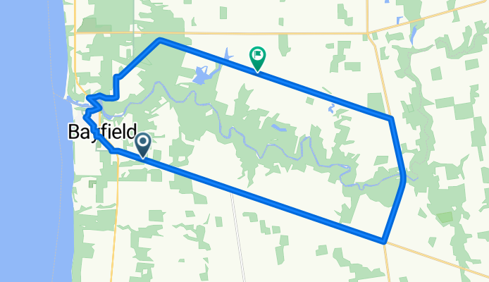


Turbull Loop
- 5 km
- 8 m
- 8 m
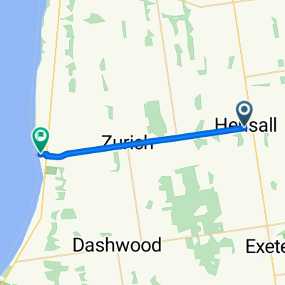
- Bluewater, Ontario, Canada
A cycling route starting in Bluewater, Ontario, Canada.
Overview
created this 6 months ago
Route quality
Quiet road
19.7 km
(61 %)
Undefined
12.6 km
(39 %)
Paved
2.3 km
(7 %)
Unpaved
14.2 km
(44 %)
Unpaved (undefined)
14.2 km
(44 %)
Asphalt
2.3 km
(7 %)
Undefined
15.8 km
(49 %)
Continue with Bikemap
You would like to ride Route in Bayfield or customize it for your own trip? Here is what you can do with this Bikemap route:
Free trial for 3 days, or one-time payment. More about Bikemap Premium.
Discover more Premium features.
Get Bikemap PremiumFrom our community
Open it in the app