
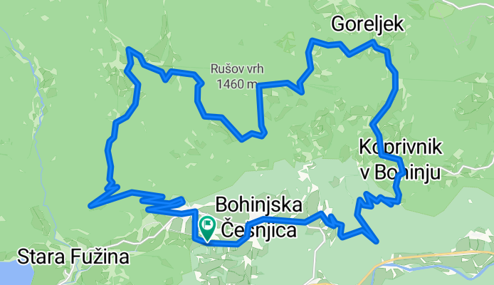
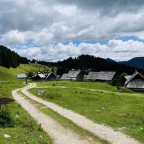
Kolesarski izlet na Uskovnico in mimo Zajamnikov do Goreljka
A cycling route starting in Bohinjska Bistrica, Bohinj Municipality, Slovenia.
Overview
About this route
Kolesarski izlet počudovitih bohinjskih planinah za telesno bolje pripravljene kolesarje.
- 2 h 28 min
- Duration
- 31.7 km
- Distance
- 1,090 m
- Ascent
- 1,092 m
- Descent
- 12.9 km/h
- Avg. speed
- 1,391 m
- Max. altitude

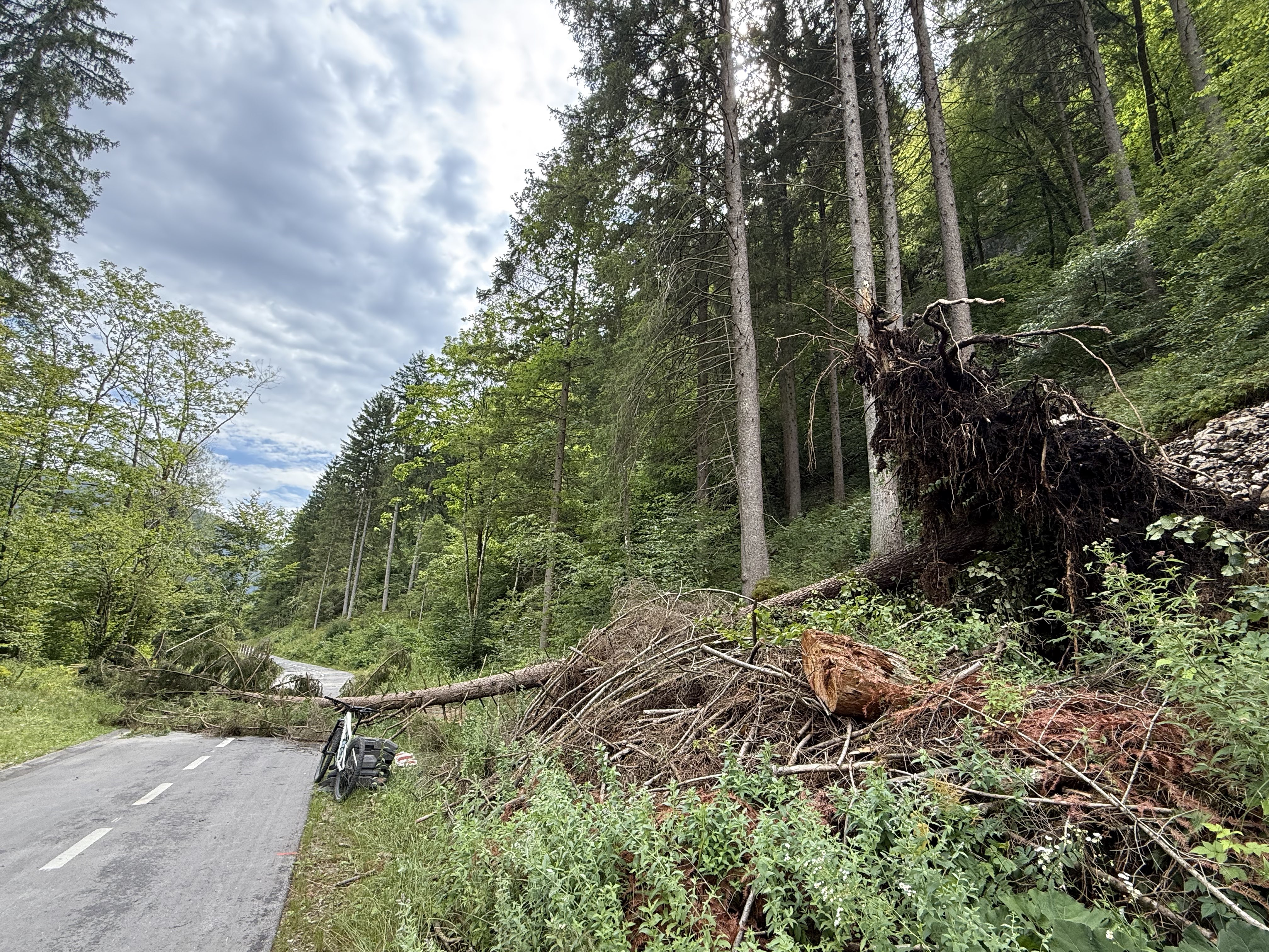
Route quality
Waytypes & surfaces along the route
Waytypes
Quiet road
23.2 km
(73 %)
Road
7.3 km
(23 %)
Surfaces
Paved
13 km
(41 %)
Unpaved
18.7 km
(59 %)
Gravel
17.8 km
(56 %)
Asphalt
13 km
(41 %)
Ground
1 km
(3 %)
Continue with Bikemap
Use, edit, or download this cycling route
You would like to ride Kolesarski izlet na Uskovnico in mimo Zajamnikov do Goreljka or customize it for your own trip? Here is what you can do with this Bikemap route:
Free features
- Save this route as favorite or in collections
- Copy & plan your own version of this route
- Sync your route with Garmin or Wahoo
Premium features
Free trial for 3 days, or one-time payment. More about Bikemap Premium.
- Navigate this route on iOS & Android
- Export a GPX / KML file of this route
- Create your custom printout (try it for free)
- Download this route for offline navigation
Discover more Premium features.
Get Bikemap PremiumFrom our community
Other popular routes starting in Bohinjska Bistrica
 Po pobočjih južnih bohinjskih gora
- Distance
- 30.4 km
- Ascent
- 671 m
- Descent
- 671 m
- Location
- Bohinjska Bistrica, Bohinj Municipality, Slovenia
 Snail-like route in Bohinjska Bistrica
- Distance
- 20.1 km
- Ascent
- 146 m
- Descent
- 155 m
- Location
- Bohinjska Bistrica, Bohinj Municipality, Slovenia
 b.b- koprivnik-gorjuse-b.b
- Distance
- 46.6 km
- Ascent
- 888 m
- Descent
- 889 m
- Location
- Bohinjska Bistrica, Bohinj Municipality, Slovenia
 Bohinjska Bistrica - Železniki
- Distance
- 60.7 km
- Ascent
- 1,256 m
- Descent
- 2,233 m
- Location
- Bohinjska Bistrica, Bohinj Municipality, Slovenia
 Letoviška ulica, Bohinjska Bistrica do Ribčev Laz, Bohinjsko Jezero
- Distance
- 8.3 km
- Ascent
- 73 m
- Descent
- 67 m
- Location
- Bohinjska Bistrica, Bohinj Municipality, Slovenia
 Da Bohinjska Bistrica a Čeplez
- Distance
- 40 km
- Ascent
- 2,015 m
- Descent
- 2,200 m
- Location
- Bohinjska Bistrica, Bohinj Municipality, Slovenia
 Pokljuka MTB
- Distance
- 22.9 km
- Ascent
- 832 m
- Descent
- 835 m
- Location
- Bohinjska Bistrica, Bohinj Municipality, Slovenia
 Slow ride in Bohinj
- Distance
- 7.4 km
- Ascent
- 187 m
- Descent
- 248 m
- Location
- Bohinjska Bistrica, Bohinj Municipality, Slovenia
Open it in the app