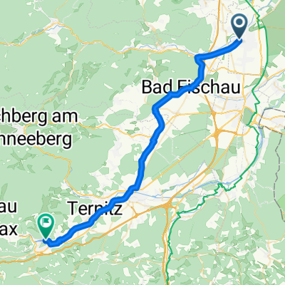
Ungarischer Grenzschuss
A cycling route starting in Felixdorf, Lower Austria, Austria.
Overview
About this route
Lichtenwörth - Neudörfl - Sauerbrunn - Mattersburg - Rohrbach Loipersbach - Draßburg - Anzau - Zemendorf - Hirm - Zillingtal - Steinbrunn - Neufeld - Pottendorf - Blumau - TH
- -:--
- Duration
- 89.1 km
- Distance
- 522 m
- Ascent
- 548 m
- Descent
- ---
- Avg. speed
- 381 m
- Avg. speed
Route quality
Waytypes & surfaces along the route
Waytypes
Busy road
55.8 km
(63 %)
Quiet road
18.4 km
(21 %)
Surfaces
Paved
45 km
(50 %)
Unpaved
1 km
(1 %)
Asphalt
44.9 km
(50 %)
Ground
0.5 km
(<1 %)
Continue with Bikemap
Use, edit, or download this cycling route
You would like to ride Ungarischer Grenzschuss or customize it for your own trip? Here is what you can do with this Bikemap route:
Free features
- Save this route as favorite or in collections
- Copy & plan your own version of this route
- Sync your route with Garmin or Wahoo
Premium features
Free trial for 3 days, or one-time payment. More about Bikemap Premium.
- Navigate this route on iOS & Android
- Export a GPX / KML file of this route
- Create your custom printout (try it for free)
- Download this route for offline navigation
Discover more Premium features.
Get Bikemap PremiumFrom our community
Other popular routes starting in Felixdorf
- Puchbergrunde
- Distance
- 76.8 km
- Ascent
- 614 m
- Descent
- 606 m
- Location
- Felixdorf, Lower Austria, Austria
- Hausrunde 2
- Distance
- 17.9 km
- Ascent
- 100 m
- Descent
- 100 m
- Location
- Felixdorf, Lower Austria, Austria
- L4071 3, Felixdorf nach Rohr im Gebirge 55
- Distance
- 74.5 km
- Ascent
- 1,947 m
- Descent
- 1,551 m
- Location
- Felixdorf, Lower Austria, Austria
- Lauf und MTB Strecke Enzesfeld - Matzendorf
- Distance
- 7.5 km
- Ascent
- 77 m
- Descent
- 83 m
- Location
- Felixdorf, Lower Austria, Austria
- Dr-Max Jung-Straße 1A, Matzendorf-Hölles to Franz Josef-Straße 27, Pfaffstätten
- Distance
- 19 km
- Ascent
- 36 m
- Descent
- 96 m
- Location
- Felixdorf, Lower Austria, Austria
- Andi zu A13
- Distance
- 26.3 km
- Ascent
- 13 m
- Descent
- 94 m
- Location
- Felixdorf, Lower Austria, Austria
- Hölles (Wald)
- Distance
- 19.7 km
- Ascent
- 253 m
- Descent
- 255 m
- Location
- Felixdorf, Lower Austria, Austria
- Ungarischer Grenzschuss
- Distance
- 89.1 km
- Ascent
- 522 m
- Descent
- 548 m
- Location
- Felixdorf, Lower Austria, Austria