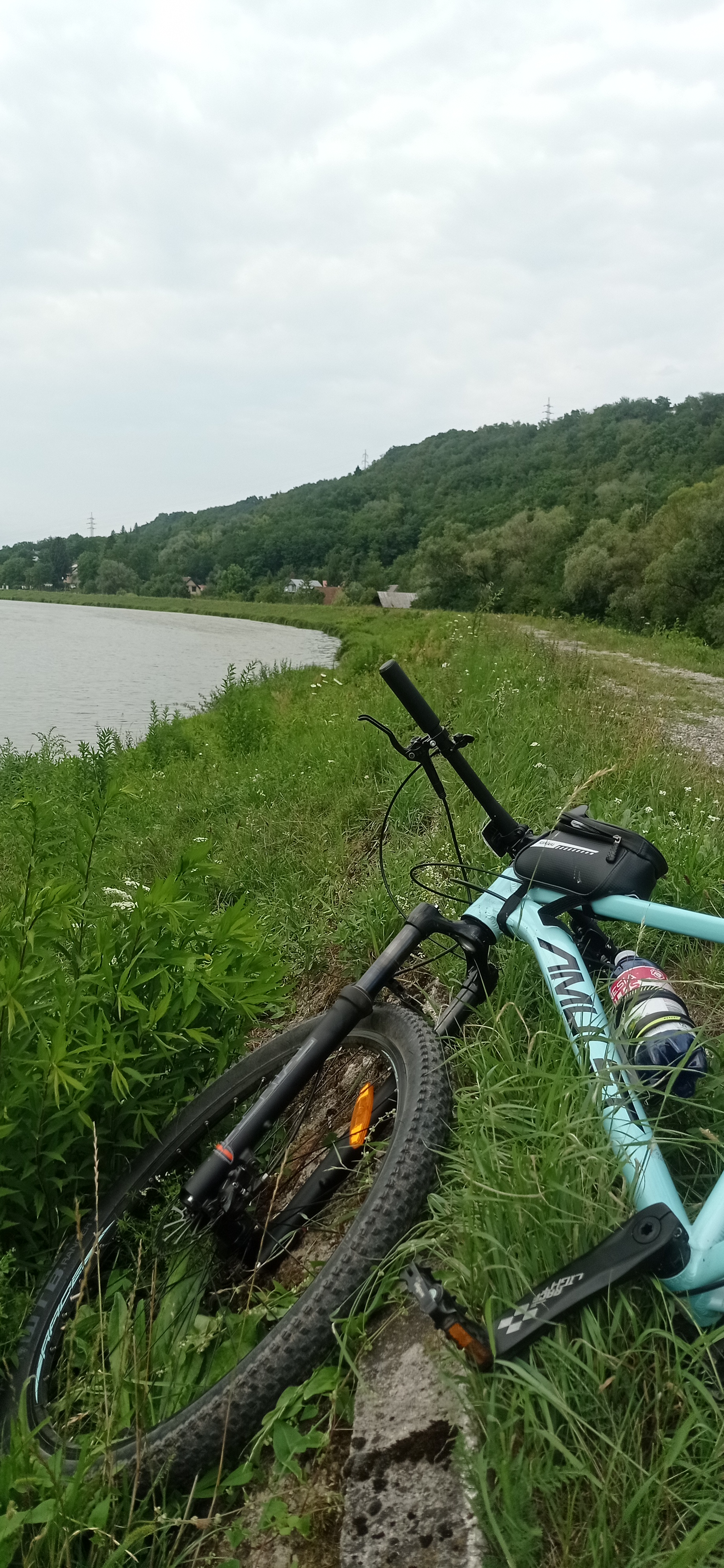
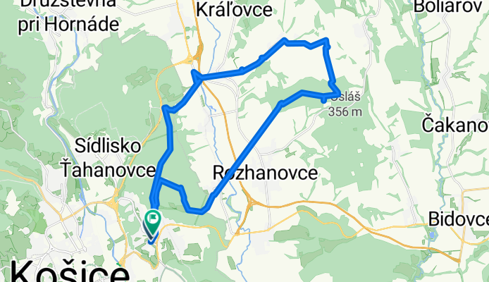
Čerešenka ♥️
A cycling route starting in Košice, Košice Region, Slovakia.
Overview
About this route
- < 1 min
- Duration
- 28 km
- Distance
- 572 m
- Ascent
- 574 m
- Descent
- 7,746.9 km/h
- Avg. speed
- 388 m
- Max. altitude
Route photos
Continue with Bikemap
Use, edit, or download this cycling route
You would like to ride Čerešenka ♥️ or customize it for your own trip? Here is what you can do with this Bikemap route:
Free features
- Save this route as favorite or in collections
- Copy & plan your own version of this route
- Sync your route with Garmin or Wahoo
Premium features
Free trial for 3 days, or one-time payment. More about Bikemap Premium.
- Navigate this route on iOS & Android
- Export a GPX / KML file of this route
- Create your custom printout (try it for free)
- Download this route for offline navigation
Discover more Premium features.
Get Bikemap PremiumFrom our community
Other popular routes starting in Košice
Čerešenka ♥️- Distance
- 28 km
- Ascent
- 572 m
- Descent
- 574 m
- Location
- Košice, Košice Region, Slovakia
Lajoška 26.6.2010- Distance
- 43 km
- Ascent
- 851 m
- Descent
- 853 m
- Location
- Košice, Košice Region, Slovakia
Vyšna Myšľa-Izra- Distance
- 19 km
- Ascent
- 519 m
- Descent
- 323 m
- Location
- Košice, Košice Region, Slovakia
Route slovaque- Distance
- 454 km
- Ascent
- 5,362 m
- Descent
- 5,355 m
- Location
- Košice, Košice Region, Slovakia
Povstania českého ľudu do Košice- Distance
- 11.2 km
- Ascent
- 124 m
- Descent
- 272 m
- Location
- Košice, Košice Region, Slovakia
Jahodna-Lajoska a naspät- Distance
- 39.6 km
- Ascent
- 1,265 m
- Descent
- 1,256 m
- Location
- Košice, Košice Region, Slovakia
Tour de Davidov- Distance
- 41 km
- Ascent
- 740 m
- Descent
- 832 m
- Location
- Košice, Košice Region, Slovakia
Nemcova dolka- Distance
- 32.7 km
- Ascent
- 687 m
- Descent
- 685 m
- Location
- Košice, Košice Region, Slovakia
Open it in the app


