

Türkensturz Loop von Flatz
A cycling route starting in Ternitz, Lower Austria, Austria.
Overview
About this route
Planned loop to Türkensturz, you probably have to hike a bit to the viewpoint.
- Flatz
- Sebenstein Castle
- Türkensturz
- Flatz
- 3 h 14 min
- Duration
- 46 km
- Distance
- 799 m
- Ascent
- 799 m
- Descent
- 14.2 km/h
- Avg. speed
- 587 m
- Max. altitude

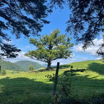
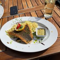
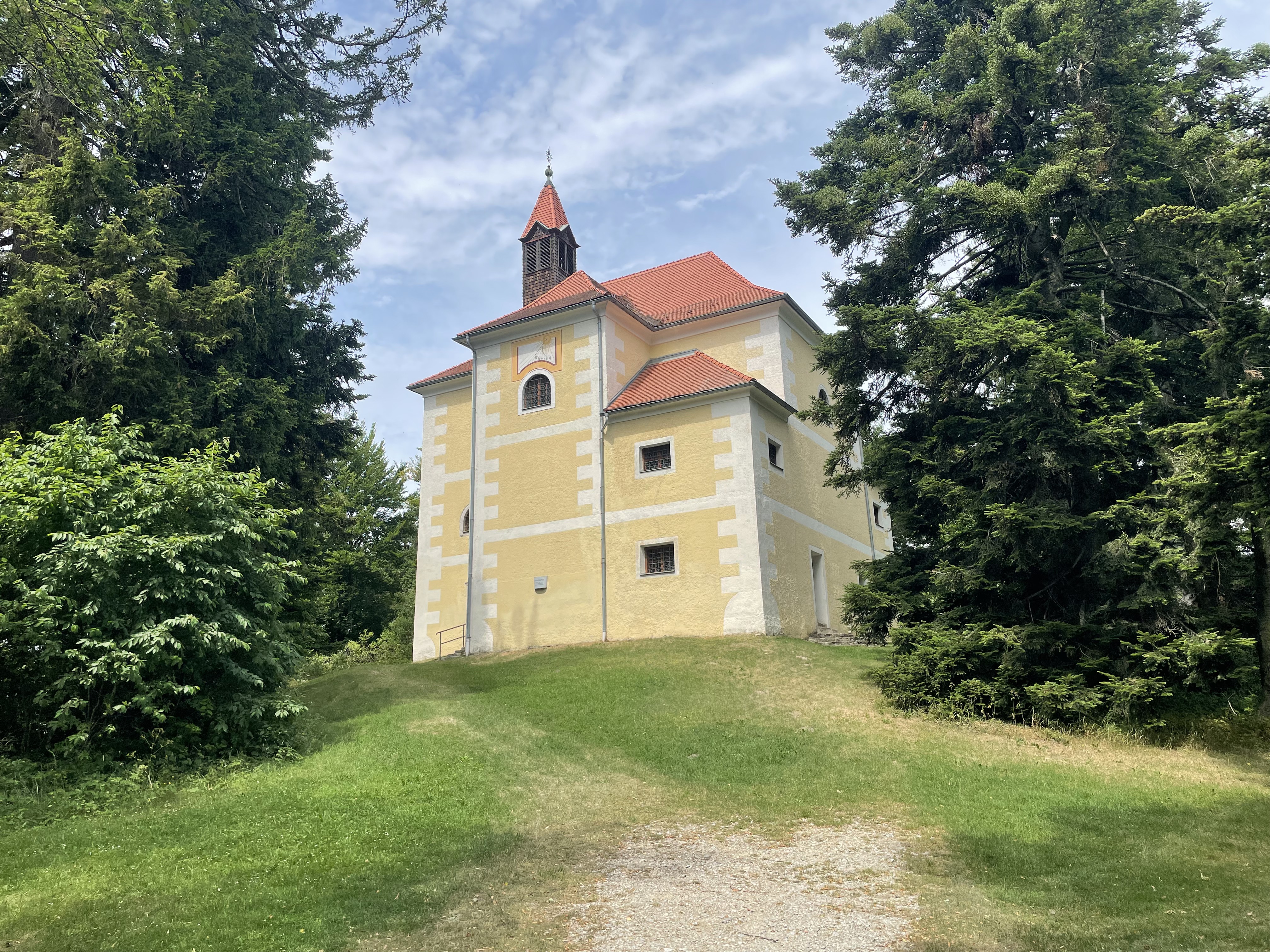
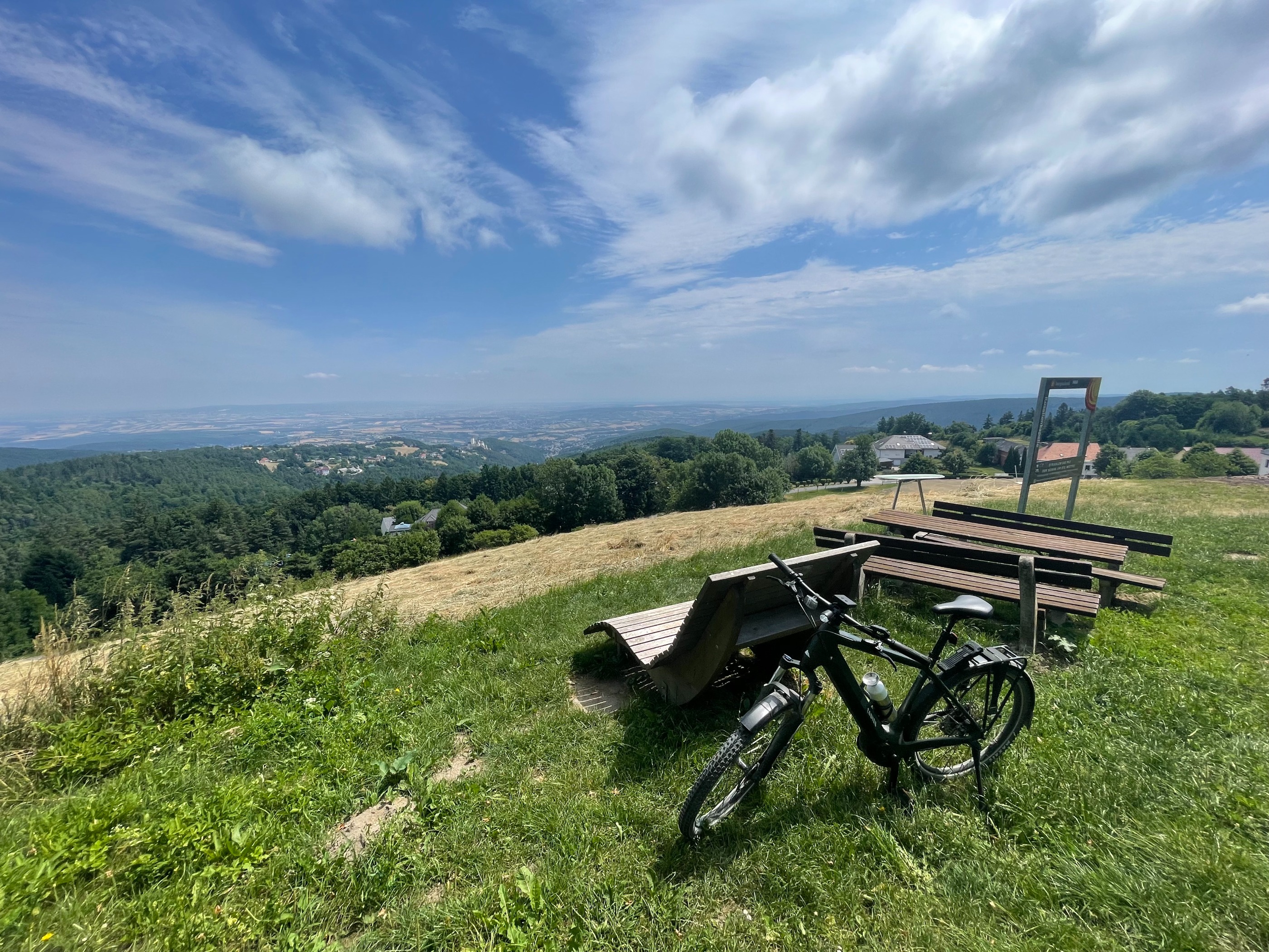
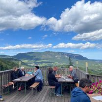
Route photos


Route quality
Waytypes & surfaces along the route
Waytypes
Quiet road
17.5 km
(38 %)
Track
11 km
(24 %)
Surfaces
Paved
28.5 km
(62 %)
Unpaved
8.7 km
(19 %)
Asphalt
28.5 km
(62 %)
Gravel
3.7 km
(8 %)
Route highlights
Points of interest along the route

Point of interest after 26.1 km
Burg Sebenstein

Point of interest after 28.1 km
Türkensturz
Continue with Bikemap
Use, edit, or download this cycling route
You would like to ride Türkensturz Loop von Flatz or customize it for your own trip? Here is what you can do with this Bikemap route:
Free features
- Save this route as favorite or in collections
- Copy & plan your own version of this route
- Sync your route with Garmin or Wahoo
Premium features
Free trial for 3 days, or one-time payment. More about Bikemap Premium.
- Navigate this route on iOS & Android
- Export a GPX / KML file of this route
- Create your custom printout (try it for free)
- Download this route for offline navigation
Discover more Premium features.
Get Bikemap PremiumFrom our community
Other popular routes starting in Ternitz
 Loop von Flatz bis nach Winzendorf mit schönen Ausblicken auf die Hohe Wand
- Distance
- 26.7 km
- Ascent
- 297 m
- Descent
- 298 m
- Location
- Ternitz, Lower Austria, Austria
- Türkensturz Loop von Flatz
- Distance
- 46 km
- Ascent
- 799 m
- Descent
- 799 m
- Location
- Ternitz, Lower Austria, Austria
 Marias Land Loop mit Flatzer Wand - Mittel
- Distance
- 34.4 km
- Ascent
- 1,165 m
- Descent
- 1,164 m
- Location
- Ternitz, Lower Austria, Austria
 Marias Land Loop - Kurz
- Distance
- 31.9 km
- Ascent
- 971 m
- Descent
- 970 m
- Location
- Ternitz, Lower Austria, Austria
 Rec Nach Forchtenstein über Rosalia
- Distance
- 52.3 km
- Ascent
- 729 m
- Descent
- 872 m
- Location
- Ternitz, Lower Austria, Austria
 Nach Forchtenstein über das Rosalia-Gebirge
- Distance
- 54.1 km
- Ascent
- 707 m
- Descent
- 907 m
- Location
- Ternitz, Lower Austria, Austria
 Zur Steirer Hütt'n Am Gutenmann
- Distance
- 31.6 km
- Ascent
- 840 m
- Descent
- 839 m
- Location
- Ternitz, Lower Austria, Austria
 Loop Fail
- Distance
- 27 km
- Ascent
- 527 m
- Descent
- 526 m
- Location
- Ternitz, Lower Austria, Austria
Open it in the app