
Mickelson Full 218-mile out and back
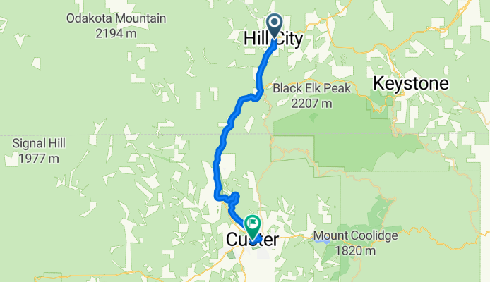
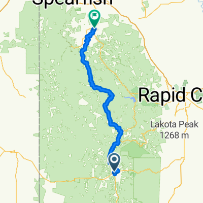
Mickelson Trail Day 2a Hill City to Custer
A cycling route starting in Custer, South Dakota, United States.
Overview
About this route
- 2 h 5 min
- Duration
- 26.8 km
- Distance
- 284 m
- Ascent
- 179 m
- Descent
- 12.8 km/h
- Avg. speed
- 1,793 m
- Max. altitude

Part of
Route quality
Waytypes & surfaces along the route
Waytypes
Cycleway
24.1 km
(90 %)
Quiet road
0.8 km
(3 %)
Surfaces
Paved
0.8 km
(3 %)
Unpaved
22 km
(82 %)
Gravel
13.1 km
(49 %)
Loose gravel
8.8 km
(33 %)
Continue with Bikemap
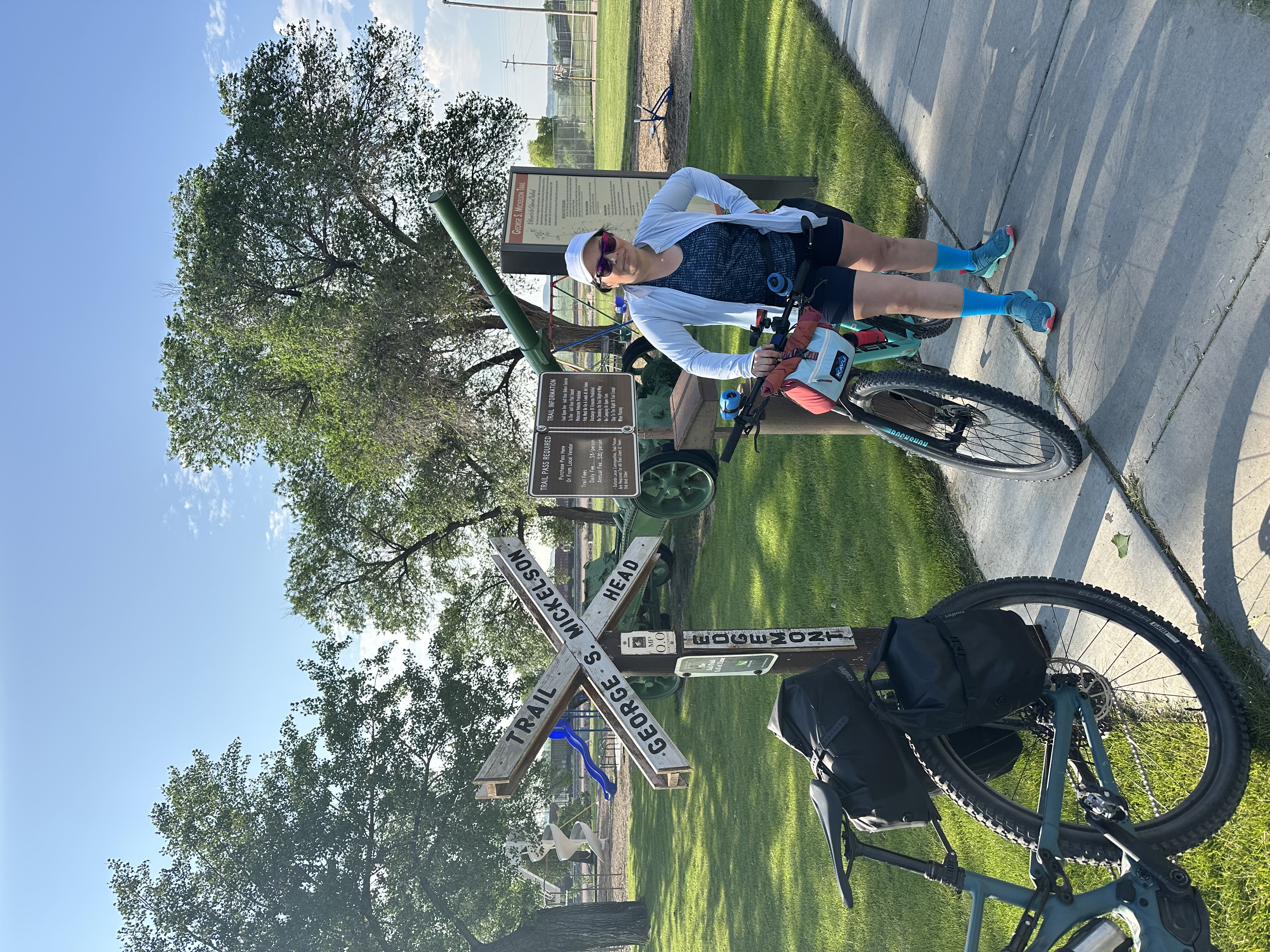
Use, edit, or download this cycling route
You would like to ride Mickelson Trail Day 2a Hill City to Custer or customize it for your own trip? Here is what you can do with this Bikemap route:
Free features
- Save this route as favorite or in collections
- Copy & plan your own version of this route
- Sync your route with Garmin or Wahoo
Premium features
Free trial for 3 days, or one-time payment. More about Bikemap Premium.
- Navigate this route on iOS & Android
- Export a GPX / KML file of this route
- Create your custom printout (try it for free)
- Download this route for offline navigation
Discover more Premium features.
Get Bikemap PremiumFrom our community
Other popular routes starting in Custer
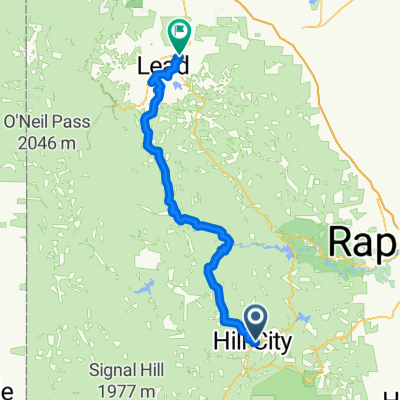 Mickelson Trail Day 5 Hill City to Deadwood
- Distance
- 79.1 km
- Ascent
- 724 m
- Descent
- 846 m
- Location
- Custer, South Dakota, United States
 Rushmore
- Distance
- 23 km
- Ascent
- 488 m
- Descent
- 2,020 m
- Location
- Custer, South Dakota, United States
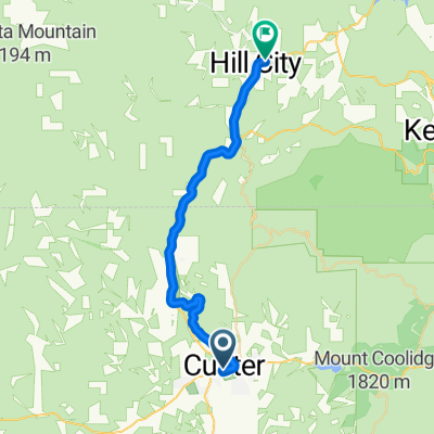 Mickelson Trail Custer to Hill City Day 4 Recovery day
- Distance
- 28.6 km
- Ascent
- 188 m
- Descent
- 293 m
- Location
- Custer, South Dakota, United States
 Needles to Bison Park
- Distance
- 10.8 km
- Ascent
- 424 m
- Descent
- 453 m
- Location
- Custer, South Dakota, United States
 U.S. 16A, Keystone to South Dakota 244 13024, Keystone
- Distance
- 24.4 km
- Ascent
- 1,203 m
- Descent
- 1,271 m
- Location
- Custer, South Dakota, United States
 Needles Highway Part 1
- Distance
- 10.8 km
- Ascent
- 687 m
- Descent
- 403 m
- Location
- Custer, South Dakota, United States
 Mickelson Trail, Custer to Mickelson Trail, Custer
- Distance
- 12.2 km
- Ascent
- 134 m
- Descent
- 134 m
- Location
- Custer, South Dakota, United States
 From Custer to Deadwood
- Distance
- 103.7 km
- Ascent
- 1,822 m
- Descent
- 2,059 m
- Location
- Custer, South Dakota, United States
Open it in the app