
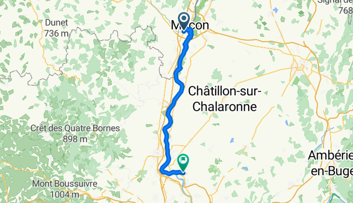
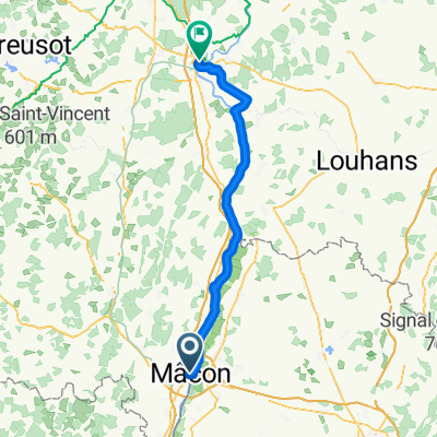
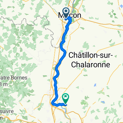
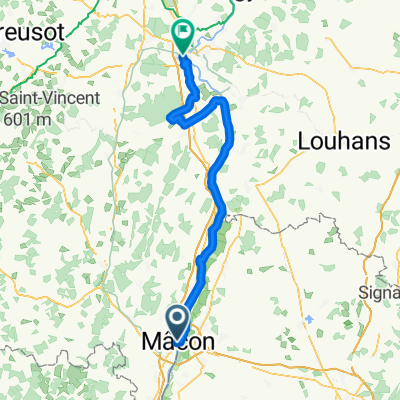
Von Mâcon bis Reyrieux
A cycling route starting in Mâcon, Bourgogne-Franche-Comté, France.
Overview
About this route
- 4 h 21 min
- Duration
- 58.2 km
- Distance
- 124 m
- Ascent
- 122 m
- Descent
- 13.4 km/h
- Avg. speed
- 206 m
- Max. altitude
Route quality
Waytypes & surfaces along the route
Waytypes
Path
26.8 km
(46 %)
Track
18.6 km
(32 %)
Surfaces
Paved
11.6 km
(20 %)
Unpaved
40.7 km
(70 %)
Gravel
36.1 km
(62 %)
Asphalt
11.1 km
(19 %)
Continue with Bikemap
Use, edit, or download this cycling route
You would like to ride Von Mâcon bis Reyrieux or customize it for your own trip? Here is what you can do with this Bikemap route:
Free features
- Save this route as favorite or in collections
- Copy & plan your own version of this route
- Sync your route with Garmin or Wahoo
Premium features
Free trial for 3 days, or one-time payment. More about Bikemap Premium.
- Navigate this route on iOS & Android
- Export a GPX / KML file of this route
- Create your custom printout (try it for free)
- Download this route for offline navigation
Discover more Premium features.
Get Bikemap PremiumFrom our community
Other popular routes starting in Mâcon
 Tour de Bourgogne du Sud #3
- Distance
- 67.1 km
- Ascent
- 167 m
- Descent
- 177 m
- Location
- Mâcon, Bourgogne-Franche-Comté, France
 Von Mâcon bis Reyrieux
- Distance
- 58.2 km
- Ascent
- 124 m
- Descent
- 122 m
- Location
- Mâcon, Bourgogne-Franche-Comté, France
 Mâcon Tournus Pont-de-Vaux Milly-Lamartine
- Distance
- 115.8 km
- Ascent
- 258 m
- Descent
- 259 m
- Location
- Mâcon, Bourgogne-Franche-Comté, France
 De Route de Bioux 5, Mâcon à Route de Bioux 5, Mâcon
- Distance
- 39.1 km
- Ascent
- 585 m
- Descent
- 585 m
- Location
- Mâcon, Bourgogne-Franche-Comté, France
 Untitled route
- Distance
- 396.4 km
- Ascent
- 1,362 m
- Descent
- 1,457 m
- Location
- Mâcon, Bourgogne-Franche-Comté, France
 Girolibero: Borgogna
- Distance
- 122.2 km
- Ascent
- 1,370 m
- Descent
- 1,325 m
- Location
- Mâcon, Bourgogne-Franche-Comté, France
 Rue Paul Gataud, Mâcon à Route de Lyon, Saint-Rémy
- Distance
- 79.4 km
- Ascent
- 189 m
- Descent
- 202 m
- Location
- Mâcon, Bourgogne-Franche-Comté, France
 Tour de Bourgogne - Etape 1 de Macôn à Pont des Rigolles - 116km 1980D+
- Distance
- 115.7 km
- Ascent
- 1,411 m
- Descent
- 1,245 m
- Location
- Mâcon, Bourgogne-Franche-Comté, France
Open it in the app