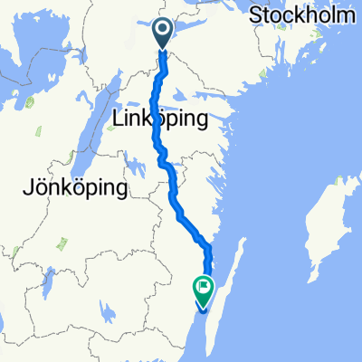
Nålgränd, Vingåker to Österåkers, Vingåker
- 19.2 km
- 193 m
- 177 m
- Vingåker, Södermanland County, Sweden
A cycling route starting in Vingåker, Södermanland County, Sweden.
Overview
created this 5 months ago

Route quality
Quiet road
13.9 km
(72 %)
Road
2.5 km
(13 %)
Paved
5.8 km
(30 %)
Unpaved
13.5 km
(70 %)
Unpaved (undefined)
13.5 km
(70 %)
Asphalt
5.8 km
(30 %)
Continue with Bikemap
You would like to ride Nålgränd, Vingåker to Österåkers, Vingåker or customize it for your own trip? Here is what you can do with this Bikemap route:
Free trial for 3 days, or one-time payment. More about Bikemap Premium.
Discover more Premium features.
Get Bikemap PremiumFrom our community
Open it in the app