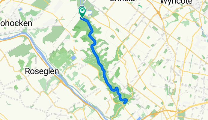
W Northwestern Ave, Philadelphia to Forbidden Drive Trail, Philadelphia
A cycling route starting in Flourtown, Pennsylvania, United States.
Overview
About this route
- 1 h 4 min
- Duration
- 17.9 km
- Distance
- 254 m
- Ascent
- 247 m
- Descent
- 16.8 km/h
- Avg. speed
- 52 m
- Max. altitude
Route quality
Waytypes & surfaces along the route
Waytypes
Cycleway
17.4 km
(97 %)
Access road
0.5 km
(3 %)
Surfaces
Paved
0.9 km
(5 %)
Unpaved
17 km
(95 %)
Gravel
17 km
(95 %)
Asphalt
0.7 km
(4 %)
Metal
0.2 km
(1 %)
Continue with Bikemap
Use, edit, or download this cycling route
You would like to ride W Northwestern Ave, Philadelphia to Forbidden Drive Trail, Philadelphia or customize it for your own trip? Here is what you can do with this Bikemap route:
Free features
- Save this route as favorite or in collections
- Copy & plan your own version of this route
- Sync your route with Garmin or Wahoo
Premium features
Free trial for 3 days, or one-time payment. More about Bikemap Premium.
- Navigate this route on iOS & Android
- Export a GPX / KML file of this route
- Create your custom printout (try it for free)
- Download this route for offline navigation
Discover more Premium features.
Get Bikemap PremiumFrom our community
Other popular routes starting in Flourtown
1601–1605 Church Rd, Oreland to 1510 Lucon Rd, Oreland- Distance
- 17.7 km
- Ascent
- 177 m
- Descent
- 173 m
- Location
- Flourtown, Pennsylvania, United States
848 Thomas Rd, Lafayette Hill to 4035 S Warner Rd, Lafayette Hill- Distance
- 2.6 km
- Ascent
- 41 m
- Descent
- 17 m
- Location
- Flourtown, Pennsylvania, United States
W Northwestern Ave, Philadelphia to Forbidden Drive Trail, Philadelphia- Distance
- 17.9 km
- Ascent
- 254 m
- Descent
- 247 m
- Location
- Flourtown, Pennsylvania, United States
48 W Wissahickon Ave, Flourtown to 927 Bethlehem Pike, Flourtown- Distance
- 22.5 km
- Ascent
- 247 m
- Descent
- 239 m
- Location
- Flourtown, Pennsylvania, United States
40.098° N -75.215° W to 40.098° N -75.215° W- Distance
- 26.5 km
- Ascent
- 263 m
- Descent
- 255 m
- Location
- Flourtown, Pennsylvania, United States
Valley Green to Lincoln Drive- Distance
- 18.3 km
- Ascent
- 263 m
- Descent
- 259 m
- Location
- Flourtown, Pennsylvania, United States
100 W Wissahickon Ave, Flourtown to 931 Bethlehem Pike, Flourtown- Distance
- 26.3 km
- Ascent
- 353 m
- Descent
- 349 m
- Location
- Flourtown, Pennsylvania, United States
Thomas Road- Distance
- 16.3 km
- Ascent
- 273 m
- Descent
- 275 m
- Location
- Flourtown, Pennsylvania, United States
Open it in the app

