
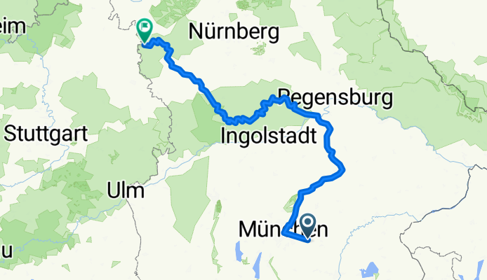
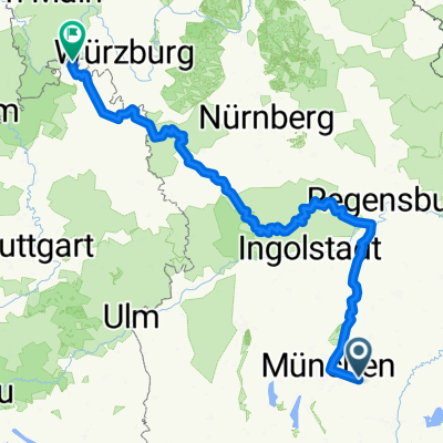
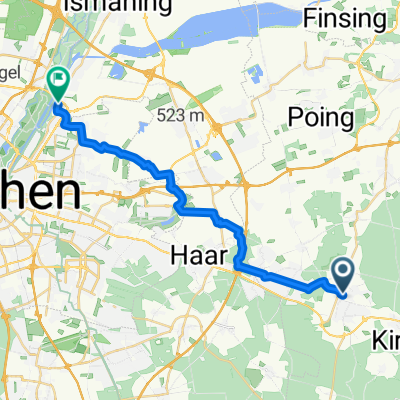
Zorneding-Isar Radweg - Altmuel Tauber Radweg
A cycling route starting in Zorneding, Bavaria, Germany.
Overview
About this route
- 24 h 26 min
- Duration
- 407.9 km
- Distance
- 2,093 m
- Ascent
- 2,229 m
- Descent
- 16.7 km/h
- Avg. speed
- 562 m
- Max. altitude
Route quality
Waytypes & surfaces along the route
Waytypes
Quiet road
114.2 km
(28 %)
Track
114.2 km
(28 %)
Surfaces
Paved
314.1 km
(77 %)
Unpaved
57.1 km
(14 %)
Asphalt
293.7 km
(72 %)
Gravel
40.8 km
(10 %)
Continue with Bikemap
Use, edit, or download this cycling route
You would like to ride Zorneding-Isar Radweg - Altmuel Tauber Radweg or customize it for your own trip? Here is what you can do with this Bikemap route:
Free features
- Save this route as favorite or in collections
- Copy & plan your own version of this route
- Split it into stages to create a multi-day tour
- Sync your route with Garmin or Wahoo
Premium features
Free trial for 3 days, or one-time payment. More about Bikemap Premium.
- Navigate this route on iOS & Android
- Export a GPX / KML file of this route
- Create your custom printout (try it for free)
- Download this route for offline navigation
Discover more Premium features.
Get Bikemap PremiumFrom our community
Other popular routes starting in Zorneding
 Zorneding-Villach
- Distance
- 403.9 km
- Ascent
- 2,654 m
- Descent
- 2,672 m
- Location
- Zorneding, Bavaria, Germany
 Panorama-Route bayr. Oberland
- Distance
- 55.8 km
- Ascent
- 630 m
- Descent
- 600 m
- Location
- Zorneding, Bavaria, Germany
 ZornedingSteinseeEbersberg_45km_160hm
- Distance
- 44.6 km
- Ascent
- 205 m
- Descent
- 205 m
- Location
- Zorneding, Bavaria, Germany
 Zorneding-Isar Radweg - Altmuel Tauber Radweg_dolga
- Distance
- 481.6 km
- Ascent
- 3,653 m
- Descent
- 4,059 m
- Location
- Zorneding, Bavaria, Germany
 The best Route to Unterföhring
- Distance
- 22.7 km
- Ascent
- 31 m
- Descent
- 74 m
- Location
- Zorneding, Bavaria, Germany
 Erding
- Distance
- 63.8 km
- Ascent
- 127 m
- Descent
- 127 m
- Location
- Zorneding, Bavaria, Germany
 Zorneding-Unterelkhofen
- Distance
- 57.1 km
- Ascent
- 350 m
- Descent
- 350 m
- Location
- Zorneding, Bavaria, Germany
 Zorneding über Eggelsburger Seen
- Distance
- 36.7 km
- Ascent
- 445 m
- Descent
- 449 m
- Location
- Zorneding, Bavaria, Germany
Open it in the app