
vacances
- 476.6 km
- 3,412 m
- 3,211 m
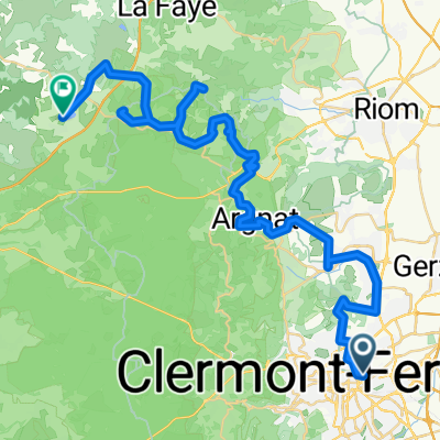
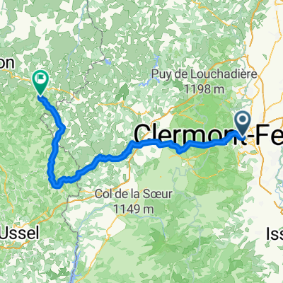
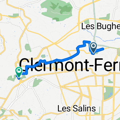
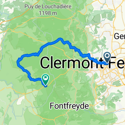
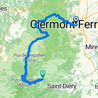
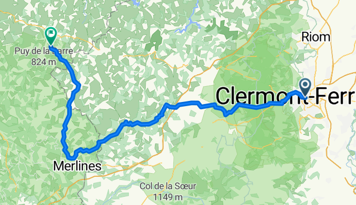
- Clermont-Ferrand, Auvergne-Rhône-Alpes, France
A cycling route starting in Clermont-Ferrand, Auvergne-Rhône-Alpes, France.
Overview
created this 5 months ago
Route quality
Road
56.1 km
(57 %)
Quiet road
27.6 km
(28 %)
Paved
26.6 km
(27 %)
Asphalt
26.6 km
(27 %)
Undefined
71.9 km
(73 %)
Continue with Bikemap
You would like to ride Rue Philippe Marcombes, Clermont-Ferrand à Le Bourg, Saint-Oradoux-près-Crocq or customize it for your own trip? Here is what you can do with this Bikemap route:
Free trial for 3 days, or one-time payment. More about Bikemap Premium.
Discover more Premium features.
Get Bikemap PremiumFrom our community
Open it in the app