
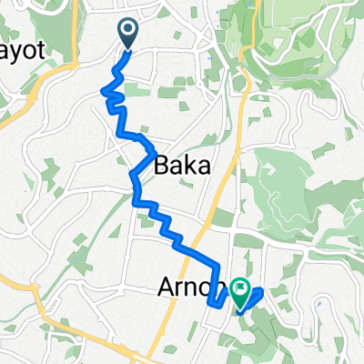
From West Jerusalem to East Jerusalem
- 5.1 km
- 102 m
- 100 m
- Old City, West Bank, Palestine
A cycling route starting in Old City, West Bank, Palestine.
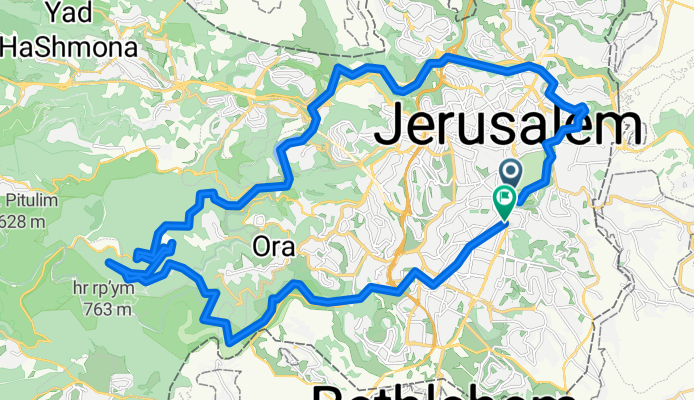
Overview
created this 10 months ago
Route quality
Track
17.6 km
37 %
Cycleway
10 km
21 %
Paved
18.5 km
(39 %)
Unpaved
3.3 km
(7 %)
Asphalt
17.1 km
36 %
Gravel
2.9 km
6 %
Continue with Bikemap
You would like to ride ירושלים מורחב or customize it for your own trip? Here is what you can do with this Bikemap route:
Free trial for 3 days, or one-time payment. More about Bikemap Premium.
Discover more Premium features.
Get Bikemap PremiumFrom our community
Open it in the app


