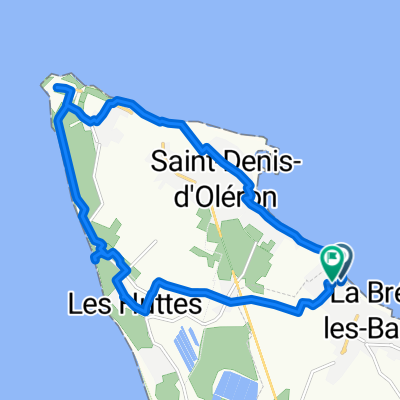
Camping La Campiére naar Boyardville door een bosrijke en afwisselende omgeving
- 29.6 km
- 12 m
- 12 m
- Saint-Denis-d'Oléron, Nouvelle-Aquitaine, France
A cycling route starting in Saint-Denis-d'Oléron, Nouvelle-Aquitaine, France.
Overview
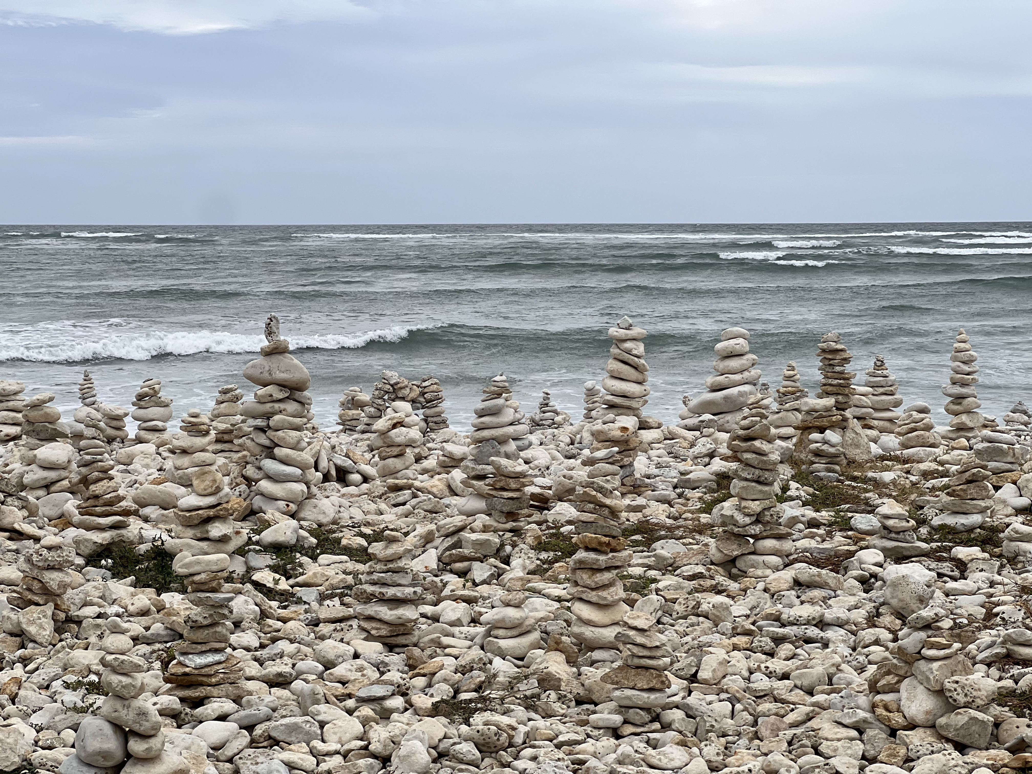
Departure from Oleron, a tourist island with heavy traffic.
We struggled to find a quiet exit, but after passing Marennes we found a charming route through the marshes, which you enjoy and want to return to, although it wasn’t the right one. Quiet road to Rochefort.
Here, crossing the suspension bridge, a descendant of the one in Portugalete, is a highlight.
La Rochelle is a must-visit. From here, via coastal cycle paths or who knows where, you reach the Île de Ré bridge.
Impressive bridge, free passage for bikes with lanes on both sides and a €20 toll for cars (entry and exit combined). The bridge is 3 km long.
The Île de Ré is very beautiful, full of beaches and bike paths. We opted for the road and ended in Saint George.
created this 13 years ago
Continue with Bikemap
You would like to ride 12 C.Atlan 3- ILE DE OLERON- I DE RE or customize it for your own trip? Here is what you can do with this Bikemap route:
Free trial for 3 days, or one-time payment. More about Bikemap Premium.
Discover more Premium features.
Get Bikemap PremiumFrom our community
Open it in the app