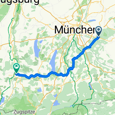

Panorama-Route bayr. Oberland
- 55.8 km
- 630 m
- 600 m
- Zorneding, Bavaria, Germany
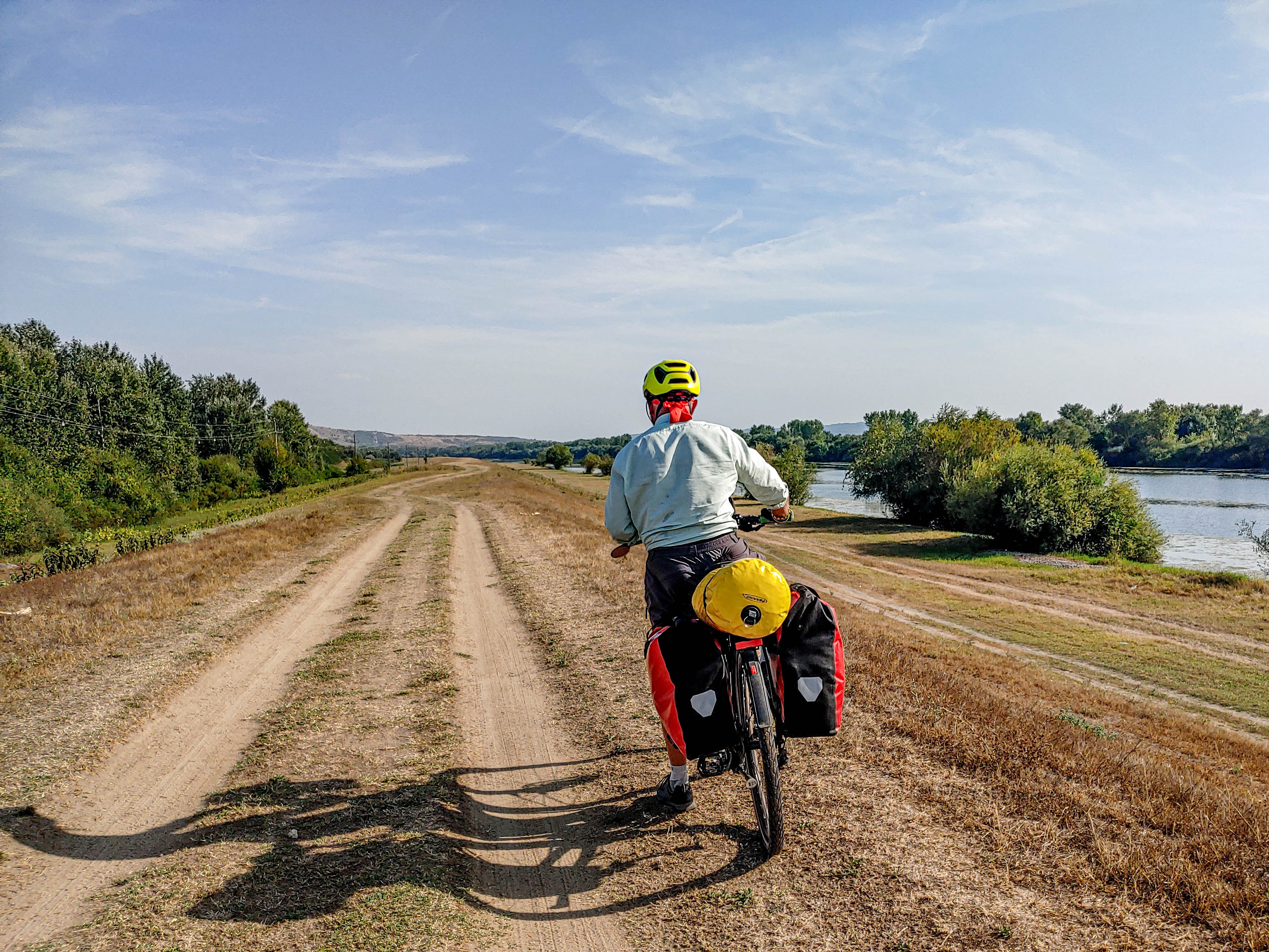
A cycling route starting in Zorneding, Bavaria, Germany.
Overview
created this 5 months ago
Route quality
Track
202.3 km
(42 %)
Quiet road
125.2 km
(26 %)
Paved
332.3 km
(69 %)
Unpaved
91.5 km
(19 %)
Asphalt
303.4 km
(63 %)
Gravel
57.8 km
(12 %)
Continue with Bikemap
You would like to ride Zorneding-Isar Radweg - Altmuel Tauber Radweg_dolga or customize it for your own trip? Here is what you can do with this Bikemap route:
Free trial for 3 days, or one-time payment. More about Bikemap Premium.
Discover more Premium features.
Get Bikemap PremiumFrom our community
Open it in the app