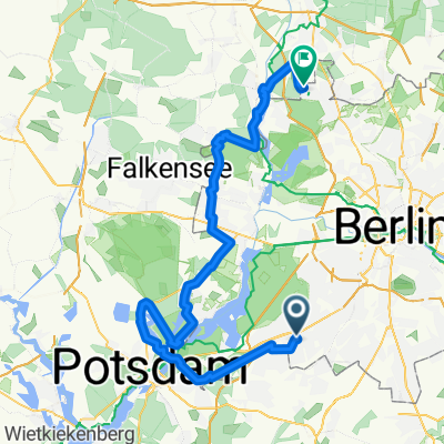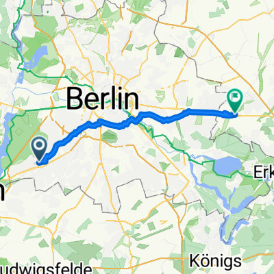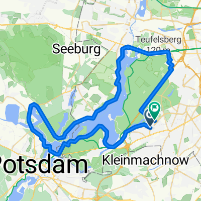


Hach Lange Radtour Oktober 2008
- 50 km
- 194 m
- 201 m
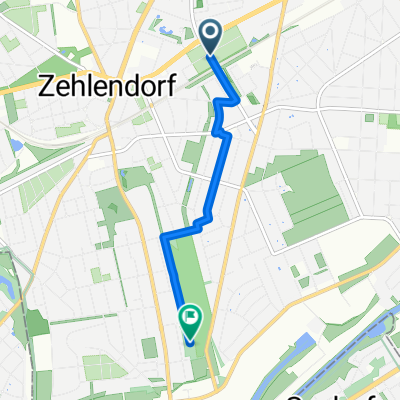
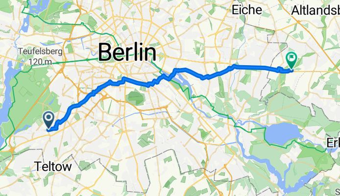
- Zehlendorf, State of Berlin, Germany
A cycling route starting in Zehlendorf, State of Berlin, Germany.
Overview
created this 5 months ago
Route quality
Quiet road
13.5 km
(38 %)
Cycleway
7.1 km
(20 %)
Paved
27.1 km
(76 %)
Asphalt
25.6 km
(72 %)
Concrete
1.1 km
(3 %)
Continue with Bikemap
You would like to ride Onkel-Tom-Straße nach Boll Ensdorfer way or customize it for your own trip? Here is what you can do with this Bikemap route:
Free trial for 3 days, or one-time payment. More about Bikemap Premium.
Discover more Premium features.
Get Bikemap PremiumFrom our community
Open it in the app