
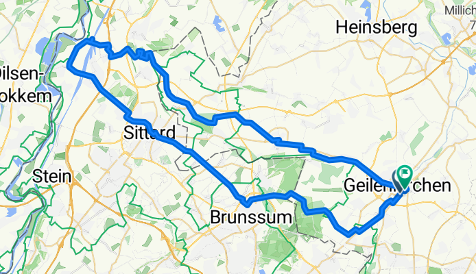
Radeln für die Seele. Zipfeltour
A cycling route starting in Geilenkirchen, North Rhine-Westphalia, Germany.
Overview
About this route
- 4 h 22 min
- Duration
- 69.1 km
- Distance
- 233 m
- Ascent
- 224 m
- Descent
- 15.8 km/h
- Avg. speed
- 111 m
- Max. altitude
Route quality
Waytypes & surfaces along the route
Waytypes
Quiet road
20 km
(29 %)
Path
16.6 km
(24 %)
Surfaces
Paved
29.7 km
(43 %)
Unpaved
4.1 km
(6 %)
Asphalt
23.5 km
(34 %)
Paved (undefined)
5.5 km
(8 %)
Route highlights
Points of interest along the route
Point of interest after 15.7 km
2-Länder-Eck
Point of interest after 15.7 km
Rathaus Café
Point of interest after 17.9 km
Brommler Mühle
Point of interest after 18.8 km
Etzenrather Mühle
Point of interest after 19.8 km
Wildpark Gangelt
Point of interest after 24.3 km
Spoorbrug over de rode beek
Point of interest after 26.9 km
Café Bloem
Point of interest after 30.8 km
Limbricht Castle
Point of interest after 33.1 km
Kasteelpark Born
Point of interest after 34.2 km
Sluis Born
Point of interest after 35.5 km
Brasserie Hafenstube
Point of interest after 37.2 km
Maas
Point of interest after 37.4 km
De Pitstopp
Point of interest after 44.9 km
Zipfelpunkt
Point of interest after 50.7 km
Waldschänke
Point of interest after 51.5 km
El Pimiento
Continue with Bikemap
Use, edit, or download this cycling route
You would like to ride Radeln für die Seele. Zipfeltour or customize it for your own trip? Here is what you can do with this Bikemap route:
Free features
- Save this route as favorite or in collections
- Copy & plan your own version of this route
- Sync your route with Garmin or Wahoo
Premium features
Free trial for 3 days, or one-time payment. More about Bikemap Premium.
- Navigate this route on iOS & Android
- Export a GPX / KML file of this route
- Create your custom printout (try it for free)
- Download this route for offline navigation
Discover more Premium features.
Get Bikemap PremiumFrom our community
Other popular routes starting in Geilenkirchen
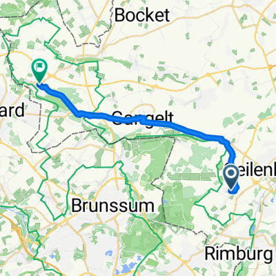 Töpferstraße nach Sittarder Straße
- Distance
- 17.8 km
- Ascent
- 43 m
- Descent
- 86 m
- Location
- Geilenkirchen, North Rhine-Westphalia, Germany
 Yorckstraße 1, Geilenkirchen to Yorckstraße 3, Geilenkirchen
- Distance
- 12.7 km
- Ascent
- 34 m
- Descent
- 86 m
- Location
- Geilenkirchen, North Rhine-Westphalia, Germany
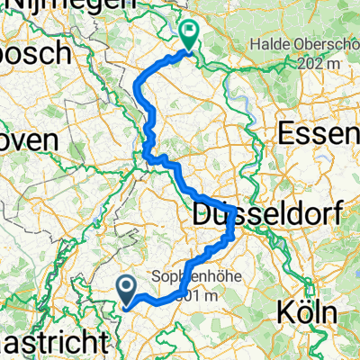 Deutschlandtour 2015_4. Tag
- Distance
- 157.1 km
- Ascent
- 201 m
- Descent
- 256 m
- Location
- Geilenkirchen, North Rhine-Westphalia, Germany
 Radeln für die Seele. Zipfeltour
- Distance
- 69.1 km
- Ascent
- 233 m
- Descent
- 224 m
- Location
- Geilenkirchen, North Rhine-Westphalia, Germany
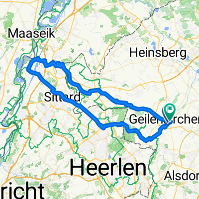
 Zwischen Maas und Wurm
- Distance
- 101.8 km
- Ascent
- 205 m
- Descent
- 205 m
- Location
- Geilenkirchen, North Rhine-Westphalia, Germany
 Recorded via Apple Watch - 03.09.2021
- Distance
- 27 km
- Ascent
- 70 m
- Descent
- 89 m
- Location
- Geilenkirchen, North Rhine-Westphalia, Germany
 Route der Wingerter und Sabinerinnen
- Distance
- 234.9 km
- Ascent
- 435 m
- Descent
- 470 m
- Location
- Geilenkirchen, North Rhine-Westphalia, Germany
 Radeln für die Seele. Zipfeltour
- Distance
- 48.1 km
- Ascent
- 127 m
- Descent
- 170 m
- Location
- Geilenkirchen, North Rhine-Westphalia, Germany
Open it in the app