

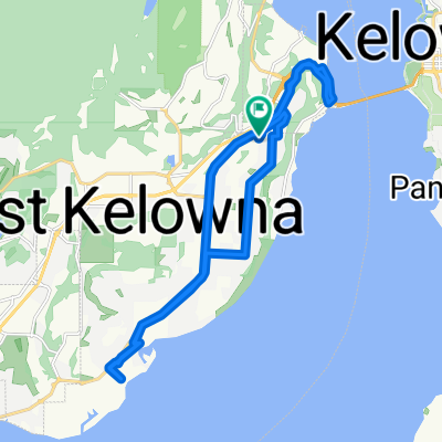
Highway 97 S, Tsinstikeptum 9 to Highway 97 S, Tsinstikeptum 9
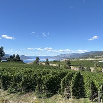
A cycling route starting in West Kelowna, British Columbia, Canada.
Overview
About this route
- 1 min
- Duration
- 0.8 km
- Distance
- 0 m
- Ascent
- 18 m
- Descent
- 83.1 km/h
- Avg. speed
- 458 m
- Max. altitude

Route quality
Waytypes & surfaces along the route
Waytypes
Cycleway
0.8 km
(100 %)
Surfaces
Paved
0.3 km
(38 %)
Asphalt
0.3 km
(38 %)
Undefined
0.5 km
(62 %)
Continue with Bikemap
Use, edit, or download this cycling route
You would like to ride Highway 97 S, Tsinstikeptum 9 to Highway 97 S, Tsinstikeptum 9 or customize it for your own trip? Here is what you can do with this Bikemap route:
Free features
- Save this route as favorite or in collections
- Copy & plan your own version of this route
- Sync your route with Garmin or Wahoo
Premium features
Free trial for 3 days, or one-time payment. More about Bikemap Premium.
- Navigate this route on iOS & Android
- Export a GPX / KML file of this route
- Create your custom printout (try it for free)
- Download this route for offline navigation
Discover more Premium features.
Get Bikemap PremiumFrom our community
Other popular routes starting in West Kelowna
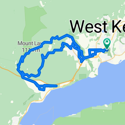
 Acutruss through Kalamoir to Bridge
- Distance
- 16.8 km
- Ascent
- 256 m
- Descent
- 347 m
- Location
- West Kelowna, British Columbia, Canada
 Steady ride in Kelowna
- Distance
- 2.5 km
- Ascent
- 51 m
- Descent
- 89 m
- Location
- West Kelowna, British Columbia, Canada
 Carrington Rd, Tsinstikeptum 9 to Carrington Rd, Tsinstikeptum 9
- Distance
- 48.4 km
- Ascent
- 1,543 m
- Descent
- 1,529 m
- Location
- West Kelowna, British Columbia, Canada
 Keefe Rd, West Kelowna to Keefe Rd, West Kelowna
- Distance
- 20.1 km
- Ascent
- 395 m
- Descent
- 399 m
- Location
- West Kelowna, British Columbia, Canada
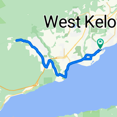
 4205 Gellatly Rd, West Kelowna to 4401–4439 Third St, Peachland
- Distance
- 12.5 km
- Ascent
- 186 m
- Descent
- 184 m
- Location
- West Kelowna, British Columbia, Canada
Edge510®
West Kelowna Cycling- Distance
- 25.8 km
- Ascent
- 442 m
- Descent
- 443 m
- Location
- West Kelowna, British Columbia, Canada
 Central Okanagan East to Crown Crest Pl, West Kelowna
- Distance
- 111.7 km
- Ascent
- 827 m
- Descent
- 1,462 m
- Location
- West Kelowna, British Columbia, Canada
 King Road 3273, West Kelowna to Gateway Lane 18, West Kelowna
- Distance
- 8.5 km
- Ascent
- 183 m
- Descent
- 155 m
- Location
- West Kelowna, British Columbia, Canada
Open it in the app