
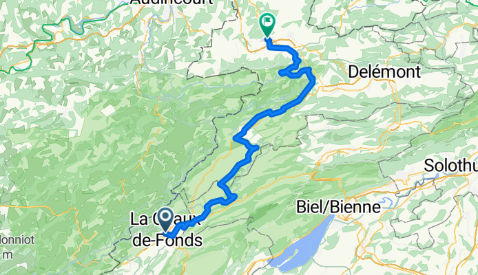
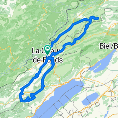
La Chaux-de-Fonds to Porrentruy
A cycling route starting in La Chaux-de-Fonds, Canton of Neuchâtel, Switzerland.
Overview
About this route
- 4 h 55 min
- Duration
- 81.2 km
- Distance
- 1,431 m
- Ascent
- 1,997 m
- Descent
- 16.5 km/h
- Avg. speed
- 1,248 m
- Max. altitude

Route photos

Route quality
Waytypes & surfaces along the route
Waytypes
Quiet road
52 km
(64 %)
Road
8.1 km
(10 %)
Surfaces
Paved
48.7 km
(60 %)
Unpaved
3.2 km
(4 %)
Asphalt
41.4 km
(51 %)
Paved (undefined)
7.3 km
(9 %)
Route highlights
Points of interest along the route
Point of interest after 19.7 km
Observatoire Astronomique de Mont-Soleil
Point of interest after 33.2 km
Etang de la Gruère
Point of interest after 35.8 km
Etang des Royes
Point of interest after 62.4 km
St-Ursanne
Point of interest after 62.4 km
Cloître
Point of interest after 62.5 km
Pont Saint-Jean The small town of St-Ursanne, which annually welcomes far more tourists than it has inhabitants, can be entered through three town gates. The entrance from the south over the bridge and through the Porte St-Jean is very impressive. A statue of St. John of Nepomuk, patron saint of all bridges, stands on one of the abutments. His many other «commitments» as patron saint of confessors, rafters, millers, priests and mariners may have led to the fact that not all bridges could be saved from destruction. A first bridge must have stood around 1440. It can be assumed that it was also built of wood, as was one known from an earlier 16th century depiction of the town. Chroniclers reported that the winter in 1670 was so cold that even the wine in the cellars froze. At that time the wooden bridge was destroyed by ice flowing down the Doubs. The bridge subsequently built in 1728/29 by master builder Brunet to plans by Advocate Humbert, was adorned by the figure of Nepomuk, who appears to gaze up river to the site of the former bridge.
Point of interest after 62.6 km
Viewpoint
Point of interest after 70.8 km
Col de la Croix
Continue with Bikemap
Use, edit, or download this cycling route
You would like to ride La Chaux-de-Fonds to Porrentruy or customize it for your own trip? Here is what you can do with this Bikemap route:
Free features
- Save this route as favorite or in collections
- Copy & plan your own version of this route
- Split it into stages to create a multi-day tour
- Sync your route with Garmin or Wahoo
Premium features
Free trial for 3 days, or one-time payment. More about Bikemap Premium.
- Navigate this route on iOS & Android
- Export a GPX / KML file of this route
- Create your custom printout (try it for free)
- Download this route for offline navigation
Discover more Premium features.
Get Bikemap PremiumFrom our community
Other popular routes starting in La Chaux-de-Fonds
 la Ferrière
- Distance
- 28.7 km
- Ascent
- 519 m
- Descent
- 515 m
- Location
- La Chaux-de-Fonds, Canton of Neuchâtel, Switzerland
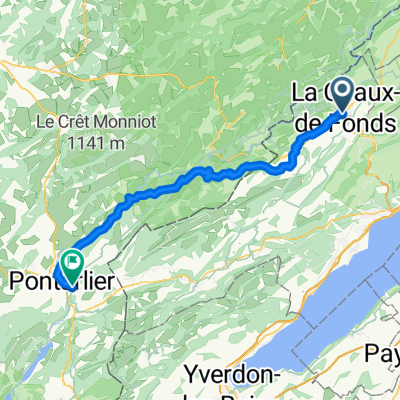 01 Route nach Pontarlier
- Distance
- 58.5 km
- Ascent
- 1,054 m
- Descent
- 1,181 m
- Location
- La Chaux-de-Fonds, Canton of Neuchâtel, Switzerland
 La Chaux-de-Fonds - Tête-de-Ran
- Distance
- 19.5 km
- Ascent
- 597 m
- Descent
- 597 m
- Location
- La Chaux-de-Fonds, Canton of Neuchâtel, Switzerland
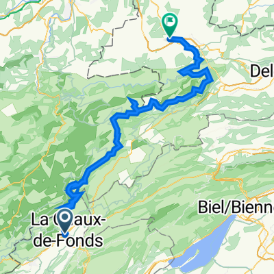 La Chaux-des-Fonds nach Porountruy
- Distance
- 86.9 km
- Ascent
- 1,912 m
- Descent
- 2,482 m
- Location
- La Chaux-de-Fonds, Canton of Neuchâtel, Switzerland
 2021 La Chaux-de-Fonds - Porrentruy
- Distance
- 312 km
- Ascent
- 495 m
- Descent
- 1,070 m
- Location
- La Chaux-de-Fonds, Canton of Neuchâtel, Switzerland
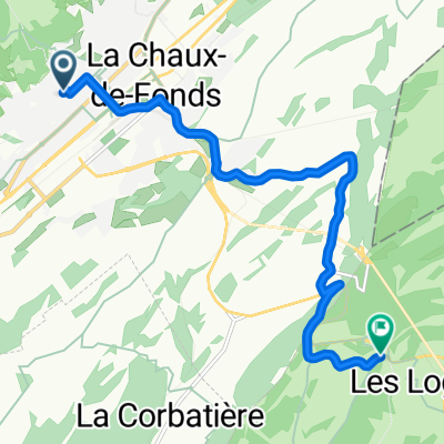 De Rue Combe-Grieurin à Route de la Vue-des-Alpes
- Distance
- 9 km
- Ascent
- 348 m
- Descent
- 116 m
- Location
- La Chaux-de-Fonds, Canton of Neuchâtel, Switzerland
 La Chaux-de-Fonds -Creux du VAn
- Distance
- 156.3 km
- Ascent
- 3,940 m
- Descent
- 3,940 m
- Location
- La Chaux-de-Fonds, Canton of Neuchâtel, Switzerland
 petite tour du matin
- Distance
- 30.7 km
- Ascent
- 1,163 m
- Descent
- 1,156 m
- Location
- La Chaux-de-Fonds, Canton of Neuchâtel, Switzerland
Open it in the app