Sonneberg-Neustadt-zpet pres Muppberg
- 42.5 km
- 280 m
- 280 m
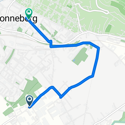
- Sonneberg, Thuringia, Germany
A cycling route starting in Sonneberg, Thuringia, Germany.
Overview
Easy route almost flat, mostly nice bike paths. I would skip Muppberg for the kids, but otherwise an excellent relaxing ride.
created this 13 years ago
Continue with Bikemap
You would like to ride Sonneberg-Neustadt-zpet pres Muppberg or customize it for your own trip? Here is what you can do with this Bikemap route:
Free trial for 3 days, or one-time payment. More about Bikemap Premium.
Discover more Premium features.
Get Bikemap PremiumFrom our community
Open it in the app