

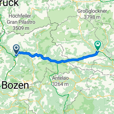
Stöcklvaterweg nach Via Scaleres
A cycling route starting in Mühlbach, Trentino-Alto Adige, Italy.
Overview
About this route
- 1 h 8 min
- Duration
- 15.7 km
- Distance
- 350 m
- Ascent
- 505 m
- Descent
- 13.9 km/h
- Avg. speed
- 895 m
- Max. altitude

Route photos


Route quality
Waytypes & surfaces along the route
Waytypes
Track
4.1 km
(26 %)
Road
3.5 km
(22 %)
Surfaces
Paved
10.2 km
(65 %)
Unpaved
4.1 km
(26 %)
Asphalt
10.2 km
(65 %)
Loose gravel
2 km
(13 %)
Continue with Bikemap
Use, edit, or download this cycling route
You would like to ride Stöcklvaterweg nach Via Scaleres or customize it for your own trip? Here is what you can do with this Bikemap route:
Free features
- Save this route as favorite or in collections
- Copy & plan your own version of this route
- Sync your route with Garmin or Wahoo
Premium features
Free trial for 3 days, or one-time payment. More about Bikemap Premium.
- Navigate this route on iOS & Android
- Export a GPX / KML file of this route
- Create your custom printout (try it for free)
- Download this route for offline navigation
Discover more Premium features.
Get Bikemap PremiumFrom our community
Other popular routes starting in Mühlbach
 Leitensteig. NICHT fürs MTB!!
- Distance
- 5.3 km
- Ascent
- 134 m
- Descent
- 232 m
- Location
- Mühlbach, Trentino-Alto Adige, Italy
 Jochpass via Vals Anratter Hütte Südtirol
- Distance
- 21.6 km
- Ascent
- 902 m
- Descent
- 901 m
- Location
- Mühlbach, Trentino-Alto Adige, Italy
 6. Muehlbach- Toblach
- Distance
- 49.8 km
- Ascent
- 750 m
- Descent
- 318 m
- Location
- Mühlbach, Trentino-Alto Adige, Italy
 MTB-Flach: Etappe04 HA-IBK: Mühlbach-Eisacktalradweg-Brenner-Innsbruck
- Distance
- 83.6 km
- Ascent
- 877 m
- Descent
- 720 m
- Location
- Mühlbach, Trentino-Alto Adige, Italy
 Spinges - Stoanamandl - Panoramaweg
- Distance
- 17 km
- Ascent
- 804 m
- Descent
- 799 m
- Location
- Mühlbach, Trentino-Alto Adige, Italy
 Tratterhof, Meransen
- Distance
- 0.2 km
- Ascent
- 12 m
- Descent
- 8 m
- Location
- Mühlbach, Trentino-Alto Adige, Italy
 8 - da geit meh man
- Distance
- 104.5 km
- Ascent
- 1,837 m
- Descent
- 1,993 m
- Location
- Mühlbach, Trentino-Alto Adige, Italy
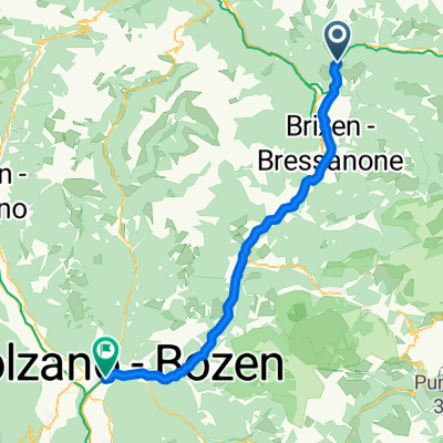 Mühlbach - Bozen
- Distance
- 54.1 km
- Ascent
- 766 m
- Descent
- 1,276 m
- Location
- Mühlbach, Trentino-Alto Adige, Italy
Open it in the app