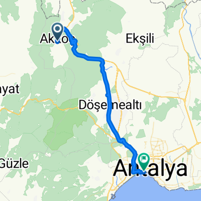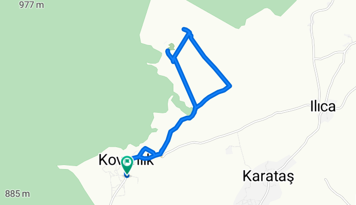

Kovanlık Mh-2
- 16.4 km
- 83 m
- 110 m
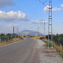
- Dağ, Antalya Province, Republic of Türkiye
A cycling route starting in Dağ, Antalya Province, Republic of Türkiye.
Overview
created this 5 months ago


Route highlights
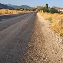
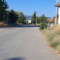
Çok sayıda, saldırgan ve çoban köpeği tasmalı köpekler var, devam etmenizi tavsiye etmem.
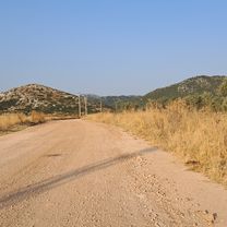
Burada bisiklete binmeyin, düşme riski çok yüksek.
Continue with Bikemap
You would like to ride Kovanlık Mh - to Kovanlık Mh-2 or customize it for your own trip? Here is what you can do with this Bikemap route:
Free trial for 3 days, or one-time payment. More about Bikemap Premium.
Discover more Premium features.
Get Bikemap PremiumFrom our community
Open it in the app