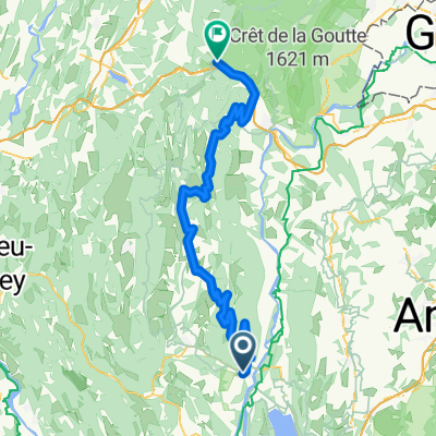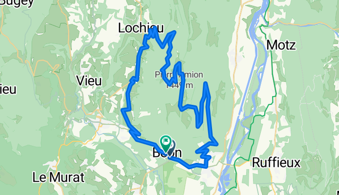


Col de la Biche, Col du Grand Colombier
- 80 km
- 2,461 m
- 2,462 m
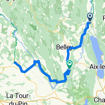
- Culoz, Auvergne-Rhône-Alpes, France
A cycling route starting in Culoz, Auvergne-Rhône-Alpes, France.
Overview
created this 13 years ago
Route quality
Road
35.5 km
(80 %)
Quiet road
0.4 km
(1 %)
Undefined
8.4 km
(19 %)
Paved
37.7 km
(85 %)
Asphalt
37.7 km
(85 %)
Undefined
6.6 km
(15 %)
Continue with Bikemap
You would like to ride Col Du Grand Colombiere or customize it for your own trip? Here is what you can do with this Bikemap route:
Free trial for 3 days, or one-time payment. More about Bikemap Premium.
Discover more Premium features.
Get Bikemap PremiumFrom our community
Open it in the app