

Paradiesweg/Wolfsquelle/Schelenburg
A cycling route starting in Melle, Lower Saxony, Germany.
Overview
About this route
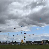
Tour of the Four Mountains
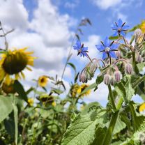
This tour takes us to Paradiesweg in Lohnberg, which at 220 meters above sea level presents a small challenge to the cyclist.
On the road to Rehhagen, we descend again towards "Borgloher Straße".
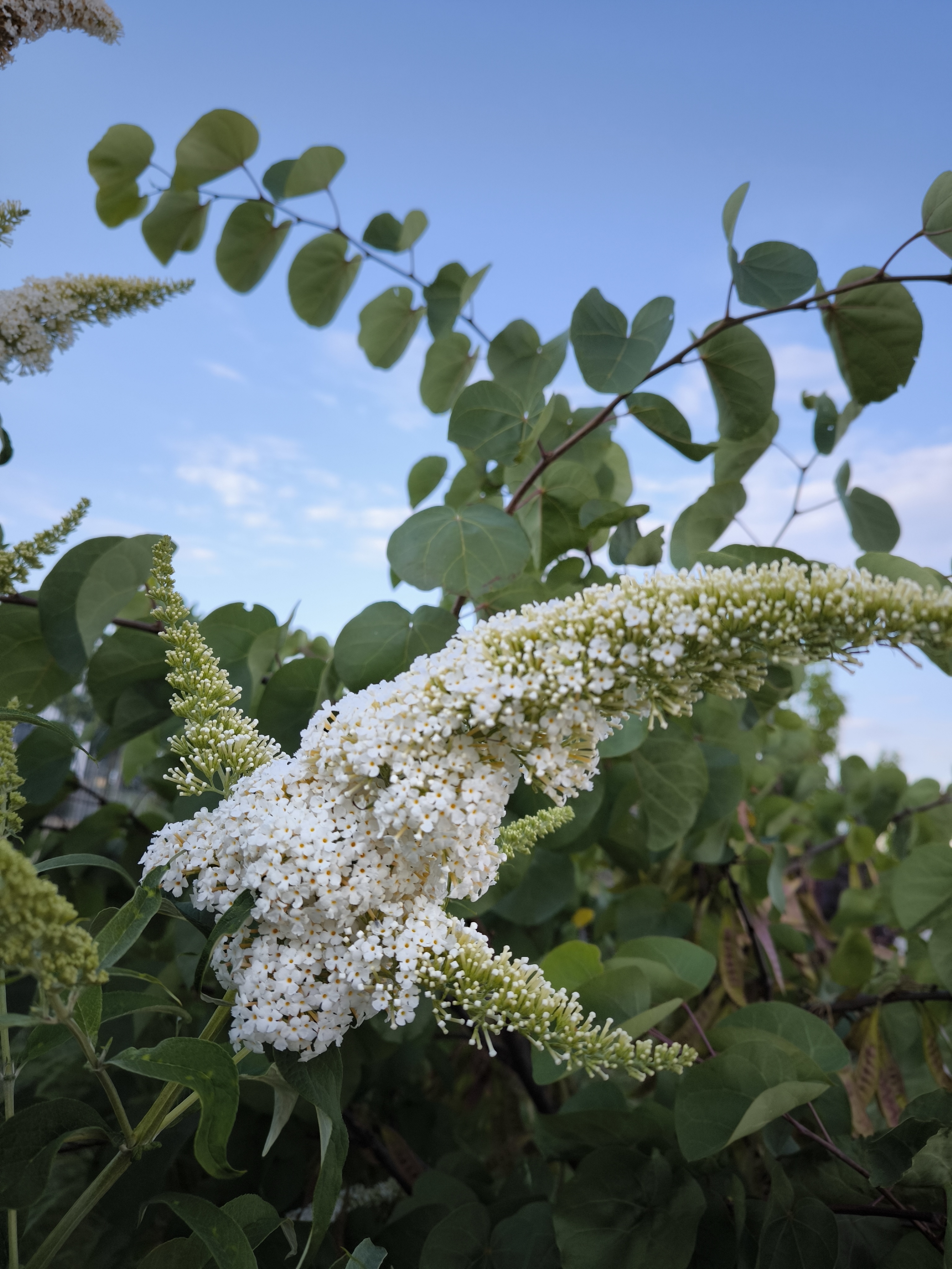
At Weinberg, we climb again to Schluchtweg, which leads us to the street "Zur Wolfsquelle".
After a stretch along the cycle path on Ebbendorfer Straße, we enter Kirchweg and cross the Königsbach.
Now we climb again "Im alten Borgloh" and onto the "Rote Straße" towards Zillertal.
After 2600 meters downhill, we arrive in Eistrup and ride into Rosenbruchweg at the Kröger bakery.
At Gut Stockum, we cross the Hase and ride through Jeggen to Schelenburg in Schlederhausen.
The mountains are conquered and the return route leads us through Linne onto the finely gravelled path behind Ludwigsee.
Continuing through the Gesmold industrial park to the starting point of the tour.
- -:--
- Duration
- 51.8 km
- Distance
- 349 m
- Ascent
- 351 m
- Descent
- ---
- Avg. speed
- ---
- Max. altitude

Route quality
Waytypes & surfaces along the route
Waytypes
Quiet road
33.6 km
(65 %)
Track
4.7 km
(9 %)
Surfaces
Paved
29 km
(56 %)
Unpaved
1.6 km
(3 %)
Asphalt
28.5 km
(55 %)
Gravel
1.6 km
(3 %)
Route highlights
Points of interest along the route
Point of interest after 13.4 km
Berg 1 Paradisweg
Point of interest after 20.7 km
Berg 2 Zur Wolfsquelle
Point of interest after 24.7 km
Berg 3 Im alten Borgloh
Point of interest after 38 km
Berg 4 Schlederhausener Straße
Continue with Bikemap
Use, edit, or download this cycling route
You would like to ride Paradiesweg/Wolfsquelle/Schelenburg or customize it for your own trip? Here is what you can do with this Bikemap route:
Free features
- Save this route as favorite or in collections
- Copy & plan your own version of this route
- Sync your route with Garmin or Wahoo
Premium features
Free trial for 3 days, or one-time payment. More about Bikemap Premium.
- Navigate this route on iOS & Android
- Export a GPX / KML file of this route
- Create your custom printout (try it for free)
- Download this route for offline navigation
Discover more Premium features.
Get Bikemap PremiumFrom our community
Other popular routes starting in Melle
 Osnabrück/Schlederhausenerweg
- Distance
- 35.6 km
- Ascent
- 119 m
- Descent
- 120 m
- Location
- Melle, Lower Saxony, Germany
 Osterkamp nach Wittekindsweg 12B
- Distance
- 23.1 km
- Ascent
- 150 m
- Descent
- 139 m
- Location
- Melle, Lower Saxony, Germany
 Kurze Thekentour
- Distance
- 19.6 km
- Ascent
- 35 m
- Descent
- 35 m
- Location
- Melle, Lower Saxony, Germany
 Wittekindsweg nach Wittekindsweg 12B
- Distance
- 13.4 km
- Ascent
- 83 m
- Descent
- 128 m
- Location
- Melle, Lower Saxony, Germany
 Suttorf-Brincke-Tour
- Distance
- 45.6 km
- Ascent
- 229 m
- Descent
- 251 m
- Location
- Melle, Lower Saxony, Germany
 Enzianhütte
- Distance
- 38.3 km
- Ascent
- 240 m
- Descent
- 239 m
- Location
- Melle, Lower Saxony, Germany
 Oldendorf/Hustädte/Buer/Melle
- Distance
- 30.1 km
- Ascent
- 176 m
- Descent
- 175 m
- Location
- Melle, Lower Saxony, Germany
 Wittekindsweg nach Wittekindsweg 12B
- Distance
- 10.9 km
- Ascent
- 85 m
- Descent
- 131 m
- Location
- Melle, Lower Saxony, Germany
Open it in the app