
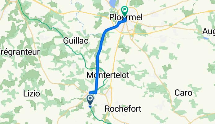

Le Roc-Saint-André, Val d'Oust to Rue du Val, Ploërmel
- 11.4 km
- 83 m
- 32 m
- Sérent, Brittany Region, France
A cycling route starting in Sérent, Brittany Region, France.
Overview
created this 5 months ago


Route quality
Cycleway
8.2 km
(72 %)
Path
1.3 km
(11 %)
Paved
11.4 km
(100 %)
Asphalt
11.3 km
(99 %)
Wood
0.1 km
(1 %)
Continue with Bikemap
You would like to ride Le Roc-Saint-André, Val d'Oust to Rue du Val, Ploërmel or customize it for your own trip? Here is what you can do with this Bikemap route:
Free trial for 3 days, or one-time payment. More about Bikemap Premium.
Discover more Premium features.
Get Bikemap PremiumFrom our community
Open it in the app


