
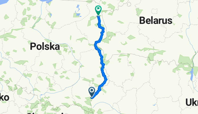
Wokół Polski Wschód1
A cycling route starting in Przemyśl, Subcarpathian Voivodeship, Poland.
Overview
About this route
- 40 h 53 min
- Duration
- 671.5 km
- Distance
- 2,930 m
- Ascent
- 2,980 m
- Descent
- 16.4 km/h
- Avg. speed
- 326 m
- Max. altitude

Route quality
Waytypes & surfaces along the route
Waytypes
Road
335.8 km
(50 %)
Quiet road
161.2 km
(24 %)
Surfaces
Paved
470.1 km
(70 %)
Unpaved
80.6 km
(12 %)
Asphalt
456.6 km
(68 %)
Unpaved (undefined)
47 km
(7 %)
Continue with Bikemap
Use, edit, or download this cycling route
You would like to ride Wokół Polski Wschód1 or customize it for your own trip? Here is what you can do with this Bikemap route:
Free features
- Save this route as favorite or in collections
- Copy & plan your own version of this route
- Split it into stages to create a multi-day tour
- Sync your route with Garmin or Wahoo
Premium features
Free trial for 3 days, or one-time payment. More about Bikemap Premium.
- Navigate this route on iOS & Android
- Export a GPX / KML file of this route
- Create your custom printout (try it for free)
- Download this route for offline navigation
Discover more Premium features.
Get Bikemap PremiumFrom our community
Other popular routes starting in Przemyśl
 Kalwaria Pacławska- dwa koła
- Distance
- 52.4 km
- Ascent
- 507 m
- Descent
- 521 m
- Location
- Przemyśl, Subcarpathian Voivodeship, Poland
 BIES - KIDY 2016.07
- Distance
- 570.4 km
- Ascent
- 1,675 m
- Descent
- 1,721 m
- Location
- Przemyśl, Subcarpathian Voivodeship, Poland
 Gen. Prądzyńskiego 26, Przemyśl do Marcina Bielskiego 66, Przemyśl
- Distance
- 34.7 km
- Ascent
- 1,608 m
- Descent
- 1,632 m
- Location
- Przemyśl, Subcarpathian Voivodeship, Poland
 Cyklokarpaty 2009 Przemyśl - Giga
- Distance
- 59.6 km
- Ascent
- 1,159 m
- Descent
- 1,054 m
- Location
- Przemyśl, Subcarpathian Voivodeship, Poland
 Eksploracje - 2010/2
- Distance
- 58.9 km
- Ascent
- 757 m
- Descent
- 757 m
- Location
- Przemyśl, Subcarpathian Voivodeship, Poland
 Wokół Polski Wschód1
- Distance
- 671.5 km
- Ascent
- 2,930 m
- Descent
- 2,980 m
- Location
- Przemyśl, Subcarpathian Voivodeship, Poland
 Ignacego Prądzyńskiego 21, Przemyśl do Gen. Prądzyńskiego 23, Przemyśl
- Distance
- 21.3 km
- Ascent
- 657 m
- Descent
- 653 m
- Location
- Przemyśl, Subcarpathian Voivodeship, Poland
 Pętla Arłamowska
- Distance
- 82.4 km
- Ascent
- 1,402 m
- Descent
- 1,341 m
- Location
- Przemyśl, Subcarpathian Voivodeship, Poland
Open it in the app