


Greding,Mettendorf,Euerwang,Grafenberg
- 24.1 km
- 301 m
- 176 m
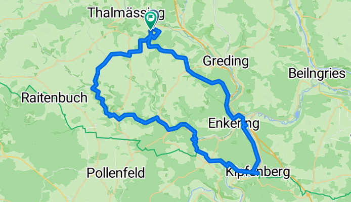
- Thalmässing, Bavaria, Germany
A cycling route starting in Thalmässing, Bavaria, Germany.
Overview
created this 5 months ago


Route quality
Track
29.5 km
(49 %)
Quiet road
18.1 km
(30 %)
Paved
33.7 km
(56 %)
Unpaved
25.3 km
(42 %)
Asphalt
31.9 km
(53 %)
Gravel
23.5 km
(39 %)
Continue with Bikemap
You would like to ride Göllersreuth Kipfenberg Göllersreuth or customize it for your own trip? Here is what you can do with this Bikemap route:
Free trial for 3 days, or one-time payment. More about Bikemap Premium.
Discover more Premium features.
Get Bikemap PremiumFrom our community
Open it in the app


