
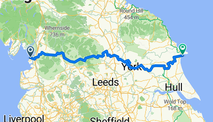
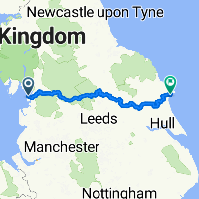
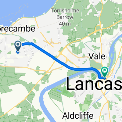
Way of the Rose
A cycling route starting in Morecambe, England, United Kingdom.
Overview
About this route
- -:--
- Duration
- 310.3 km
- Distance
- 2,440 m
- Ascent
- 2,443 m
- Descent
- ---
- Avg. speed
- 408 m
- Max. altitude

Continue with Bikemap
Use, edit, or download this cycling route
You would like to ride Way of the Rose or customize it for your own trip? Here is what you can do with this Bikemap route:
Free features
- Save this route as favorite or in collections
- Copy & plan your own version of this route
- Split it into stages to create a multi-day tour
- Sync your route with Garmin or Wahoo
Premium features
Free trial for 3 days, or one-time payment. More about Bikemap Premium.
- Navigate this route on iOS & Android
- Export a GPX / KML file of this route
- Create your custom printout (try it for free)
- Download this route for offline navigation
Discover more Premium features.
Get Bikemap PremiumFrom our community
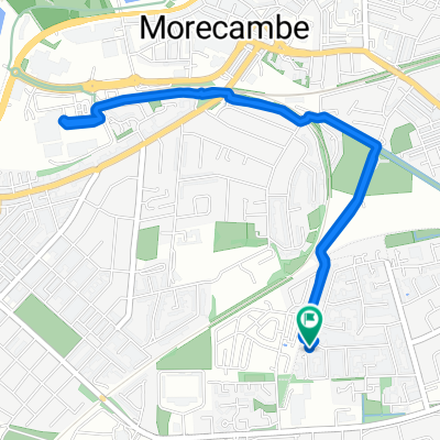
Other popular routes starting in Morecambe
 Easy Sunday afternoon ride
- Distance
- 4.4 km
- Ascent
- 11 m
- Descent
- 59 m
- Location
- Morecambe, England, United Kingdom
 Way Of The Roses
- Distance
- 280.2 km
- Ascent
- 2,463 m
- Descent
- 2,456 m
- Location
- Morecambe, England, United Kingdom
 Halton Promenade Circular
- Distance
- 19.7 km
- Ascent
- 101 m
- Descent
- 101 m
- Location
- Morecambe, England, United Kingdom
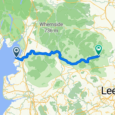
 Morecambe - Settle
- Distance
- 56.5 km
- Ascent
- 657 m
- Descent
- 514 m
- Location
- Morecambe, England, United Kingdom
 Home - WE prom - Town - Broadway - Home
- Distance
- 12 km
- Ascent
- 29 m
- Descent
- 83 m
- Location
- Morecambe, England, United Kingdom
 Day 1 WOTR
- Distance
- 100.4 km
- Ascent
- 1,504 m
- Descent
- 1,385 m
- Location
- Morecambe, England, United Kingdom
 Home to Sainsbury's, Lancaster
- Distance
- 5.1 km
- Ascent
- 20 m
- Descent
- 82 m
- Location
- Morecambe, England, United Kingdom
 Home to Morrisons (a dry start, wet ending)
- Distance
- 4 km
- Ascent
- 6 m
- Descent
- 59 m
- Location
- Morecambe, England, United Kingdom
Open it in the app