

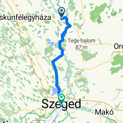
Hársfa utca - Űrhajós utca
A cycling route starting in Csongrád, Csongrád megye, Hungary.
Overview
About this route
- 3 h 18 min
- Duration
- 64 km
- Distance
- 129 m
- Ascent
- 168 m
- Descent
- 19.4 km/h
- Avg. speed
- 125 m
- Max. altitude

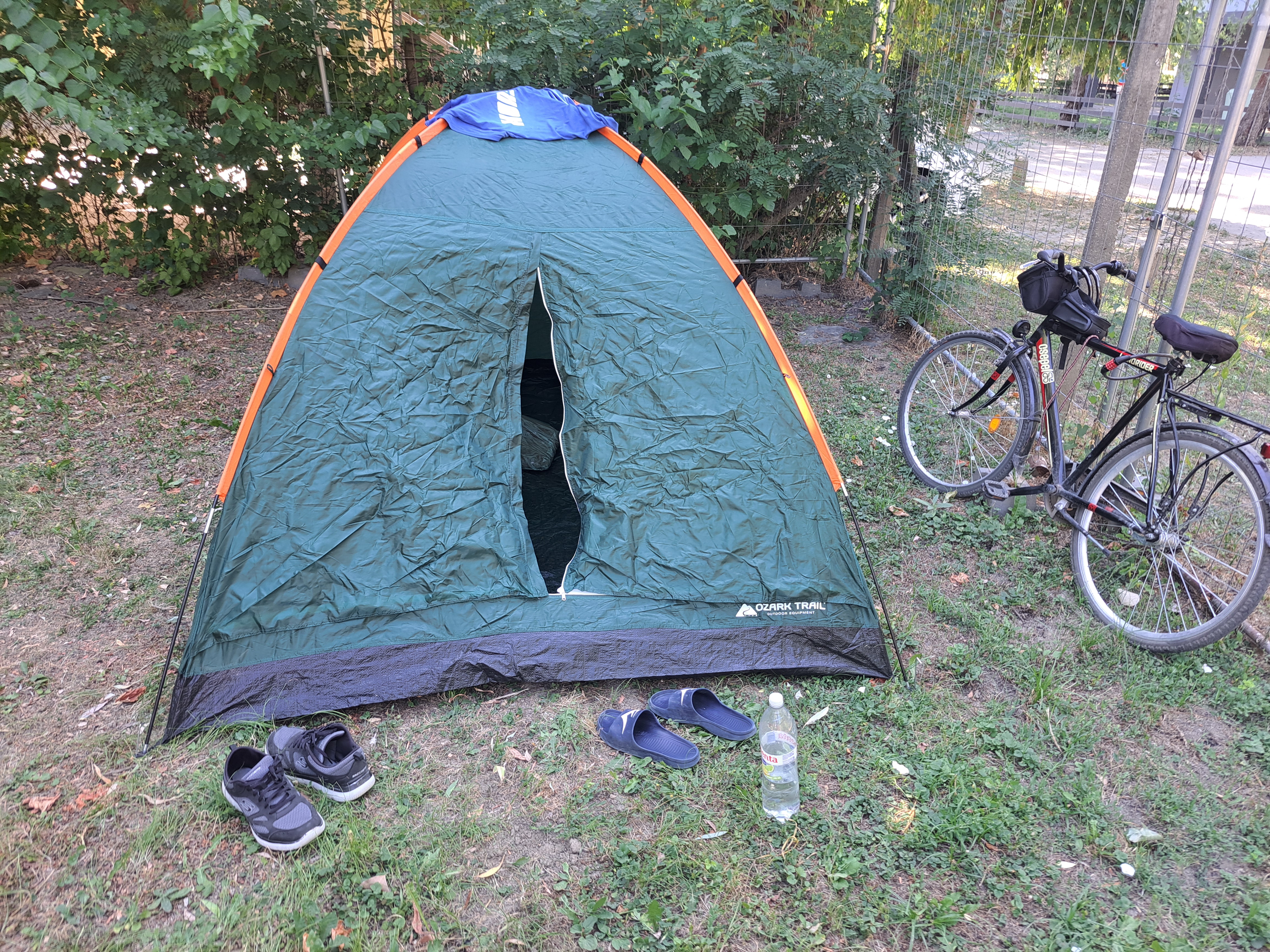
Route photos


Route quality
Waytypes & surfaces along the route
Waytypes
Access road
31.4 km
(49 %)
Cycleway
16.6 km
(26 %)
Surfaces
Paved
53.8 km
(84 %)
Unpaved
10.2 km
(16 %)
Asphalt
41.6 km
(65 %)
Concrete
12.2 km
(19 %)
Continue with Bikemap
Use, edit, or download this cycling route
You would like to ride Hársfa utca - Űrhajós utca or customize it for your own trip? Here is what you can do with this Bikemap route:
Free features
- Save this route as favorite or in collections
- Copy & plan your own version of this route
- Sync your route with Garmin or Wahoo
Premium features
Free trial for 3 days, or one-time payment. More about Bikemap Premium.
- Navigate this route on iOS & Android
- Export a GPX / KML file of this route
- Create your custom printout (try it for free)
- Download this route for offline navigation
Discover more Premium features.
Get Bikemap PremiumFrom our community
Other popular routes starting in Csongrád
- Hársfa utca - Űrhajós utca
- Distance
- 64 km
- Ascent
- 129 m
- Descent
- 168 m
- Location
- Csongrád, Csongrád megye, Hungary
 Csongrád vasútállomás- Szentes vasútállomás
- Distance
- 29.1 km
- Ascent
- 31 m
- Descent
- 29 m
- Location
- Csongrád, Csongrád megye, Hungary
 Tisza közép szakasz
- Distance
- 90.8 km
- Ascent
- 56 m
- Descent
- 52 m
- Location
- Csongrád, Csongrád megye, Hungary
 Nyárfa sor - Nyárfa sor
- Distance
- 0.6 km
- Ascent
- 23 m
- Descent
- 60 m
- Location
- Csongrád, Csongrád megye, Hungary
 3. ungarn tag 3, etappe 1
- Distance
- 63.2 km
- Ascent
- 83 m
- Descent
- 73 m
- Location
- Csongrád, Csongrád megye, Hungary
 Day 6- Csongrad to Szeged
- Distance
- 64.2 km
- Ascent
- 45 m
- Descent
- 44 m
- Location
- Csongrád, Csongrád megye, Hungary
 Csongrád
- Distance
- 47.7 km
- Ascent
- 16 m
- Descent
- 17 m
- Location
- Csongrád, Csongrád megye, Hungary
 Ópusztaszer-nagykör
- Distance
- 71.8 km
- Ascent
- 18 m
- Descent
- 16 m
- Location
- Csongrád, Csongrád megye, Hungary
Open it in the app