
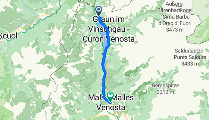
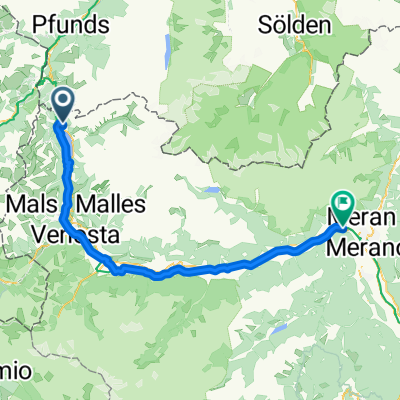
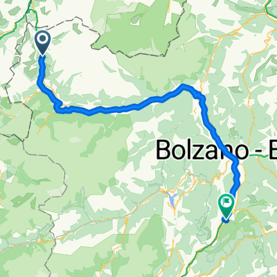
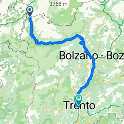
6 July from Reschebsee to Nalles Venosta
A cycling route starting in Graun im Vinschgau, Trentino-Alto Adige, Italy.
Overview
About this route
- 54 min
- Duration
- 19.4 km
- Distance
- 229 m
- Ascent
- 709 m
- Descent
- 21.7 km/h
- Avg. speed
- 1,531 m
- Max. altitude

Route quality
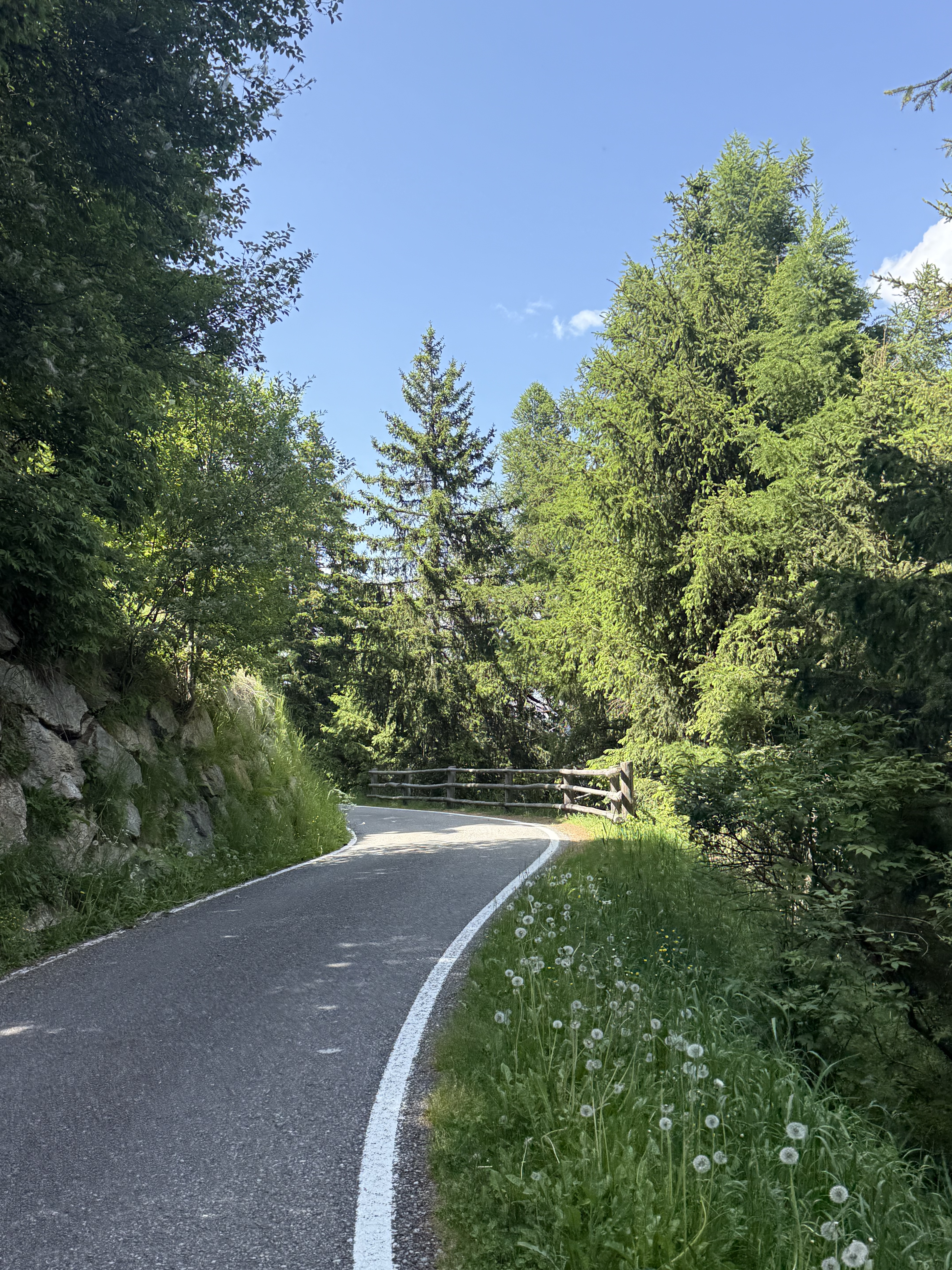
Waytypes & surfaces along the route
Waytypes
Quiet road
8.3 km
(43 %)
Track
7.4 km
(38 %)
Surfaces
Paved
14.9 km
(77 %)
Unpaved
4.1 km
(21 %)
Asphalt
14.9 km
(77 %)
Loose gravel
3.9 km
(20 %)
Continue with Bikemap
Use, edit, or download this cycling route
You would like to ride 6 July from Reschebsee to Nalles Venosta or customize it for your own trip? Here is what you can do with this Bikemap route:
Free features
- Save this route as favorite or in collections
- Copy & plan your own version of this route
- Sync your route with Garmin or Wahoo
Premium features
Free trial for 3 days, or one-time payment. More about Bikemap Premium.
- Navigate this route on iOS & Android
- Export a GPX / KML file of this route
- Create your custom printout (try it for free)
- Download this route for offline navigation
Discover more Premium features.
Get Bikemap PremiumFrom our community
Other popular routes starting in Graun im Vinschgau
 Reg.Reschensee-Obervinschgau - Meran
- Distance
- 73.5 km
- Ascent
- 467 m
- Descent
- 1,626 m
- Location
- Graun im Vinschgau, Trentino-Alto Adige, Italy
 Melag bis Moseben und zurück mit Gravelbike
- Distance
- 23.6 km
- Ascent
- 689 m
- Descent
- 697 m
- Location
- Graun im Vinschgau, Trentino-Alto Adige, Italy
 Via Paese Vecchio - Waldbodenweg
- Distance
- 18.3 km
- Ascent
- 125 m
- Descent
- 137 m
- Location
- Graun im Vinschgau, Trentino-Alto Adige, Italy
 Zwölfer am 9.4.20
- Distance
- 7.3 km
- Ascent
- 895 m
- Descent
- 884 m
- Location
- Graun im Vinschgau, Trentino-Alto Adige, Italy
 Reschen - Meran
- Distance
- 73.2 km
- Ascent
- 619 m
- Descent
- 1,744 m
- Location
- Graun im Vinschgau, Trentino-Alto Adige, Italy
 Schlanders - San Michele all'Adige
- Distance
- 119.7 km
- Ascent
- 566 m
- Descent
- 1,812 m
- Location
- Graun im Vinschgau, Trentino-Alto Adige, Italy
 leg 2 final
- Distance
- 196.3 km
- Ascent
- 1,074 m
- Descent
- 2,384 m
- Location
- Graun im Vinschgau, Trentino-Alto Adige, Italy
 Runde - Reschensee und Heidersee mit lecker Stopp beim Zenner
- Distance
- 22.6 km
- Ascent
- 216 m
- Descent
- 212 m
- Location
- Graun im Vinschgau, Trentino-Alto Adige, Italy
Open it in the app