
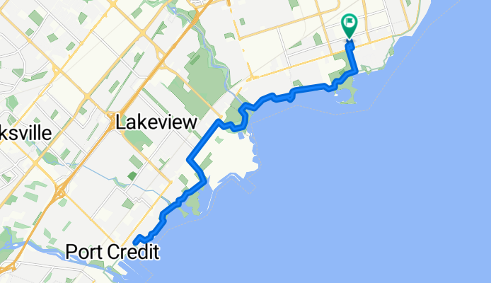
Twelfth St, Toronto to Twelfth St, Toronto
A cycling route starting in Etobicoke, Ontario, Canada.
Overview
About this route
- 1 h 25 min
- Duration
- 20.2 km
- Distance
- 50 m
- Ascent
- 54 m
- Descent
- 14.3 km/h
- Avg. speed
- 92 m
- Max. altitude

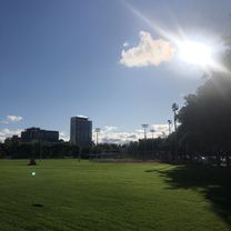
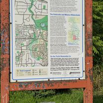
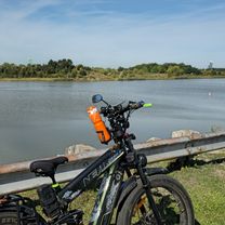
Route photos

Route quality
Waytypes & surfaces along the route
Waytypes
Cycleway
9.9 km
(49 %)
Quiet road
7.9 km
(39 %)
Surfaces
Paved
20 km
(99 %)
Asphalt
19.6 km
(97 %)
Concrete
0.4 km
(2 %)
Undefined
0.2 km
(1 %)
Continue with Bikemap
Use, edit, or download this cycling route
You would like to ride Twelfth St, Toronto to Twelfth St, Toronto or customize it for your own trip? Here is what you can do with this Bikemap route:
Free features
- Save this route as favorite or in collections
- Copy & plan your own version of this route
- Sync your route with Garmin or Wahoo
Premium features
Free trial for 3 days, or one-time payment. More about Bikemap Premium.
- Navigate this route on iOS & Android
- Export a GPX / KML file of this route
- Create your custom printout (try it for free)
- Download this route for offline navigation
Discover more Premium features.
Get Bikemap PremiumFrom our community
Other popular routes starting in Etobicoke
- Twelfth St, Toronto to Twelfth St, Toronto
- Distance
- 20.2 km
- Ascent
- 50 m
- Descent
- 54 m
- Location
- Etobicoke, Ontario, Canada
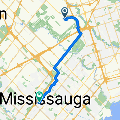
 Humber River Recreational Trail to Capri Road
- Distance
- 8.3 km
- Ascent
- 140 m
- Descent
- 43 m
- Location
- Etobicoke, Ontario, Canada
 Blistering ride in Toronto
- Distance
- 32.6 km
- Ascent
- 170 m
- Descent
- 169 m
- Location
- Etobicoke, Ontario, Canada
 Woodsview Avenue 6, Toronto to Albion Road 1530, Toronto
- Distance
- 34.4 km
- Ascent
- 336 m
- Descent
- 314 m
- Location
- Etobicoke, Ontario, Canada
 Airport August 30th 2025
- Distance
- 18 km
- Ascent
- 132 m
- Descent
- 93 m
- Location
- Etobicoke, Ontario, Canada
 Day1_Airport Toronto to Mississauga
- Distance
- 15.5 km
- Ascent
- 77 m
- Descent
- 87 m
- Location
- Etobicoke, Ontario, Canada
 Lake Shore Boulevard West to Silvercrest Avenue
- Distance
- 13.9 km
- Ascent
- 128 m
- Descent
- 105 m
- Location
- Etobicoke, Ontario, Canada
 Lake Shore Boulevard West to Indian Line
- Distance
- 34.3 km
- Ascent
- 221 m
- Descent
- 93 m
- Location
- Etobicoke, Ontario, Canada
Open it in the app