
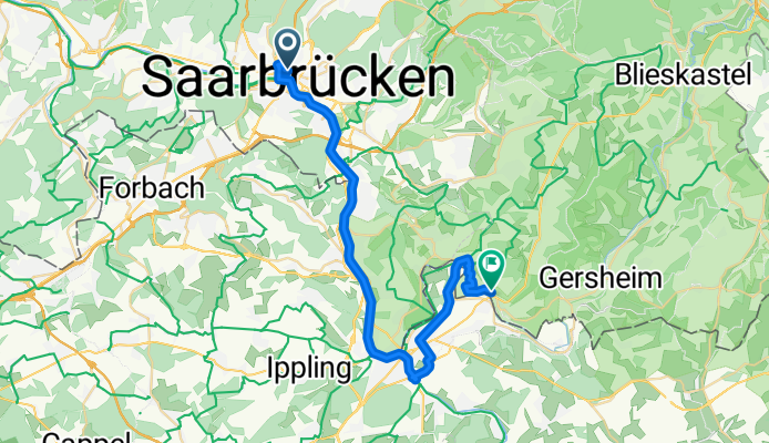
1. Etappe Camping Habkirchen
A cycling route starting in Saarbrücken, Saarland, Germany.
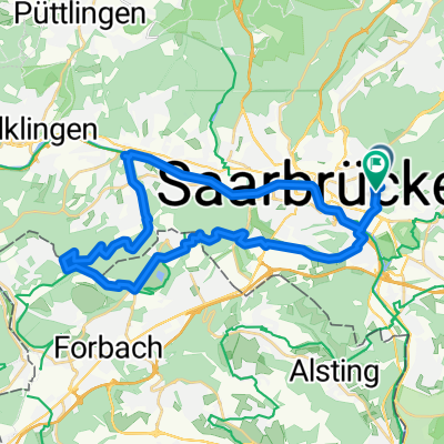
Overview
About this route
- 1 h 57 min
- Duration
- 33.7 km
- Distance
- 266 m
- Ascent
- 266 m
- Descent
- 17.2 km/h
- Avg. speed
- 284 m
- Max. altitude

Route quality
Waytypes & surfaces along the route
Waytypes
Access road
16.5 km
(49 %)
Quiet road
7.8 km
(23 %)
Surfaces
Paved
30.4 km
(90 %)
Unpaved
0.3 km
(1 %)
Asphalt
24.3 km
(72 %)
Concrete
3.4 km
(10 %)
Continue with Bikemap
Use, edit, or download this cycling route
You would like to ride 1. Etappe Camping Habkirchen or customize it for your own trip? Here is what you can do with this Bikemap route:
Free features
- Save this route as favorite or in collections
- Copy & plan your own version of this route
- Sync your route with Garmin or Wahoo
Premium features
Free trial for 3 days, or one-time payment. More about Bikemap Premium.
- Navigate this route on iOS & Android
- Export a GPX / KML file of this route
- Create your custom printout (try it for free)
- Download this route for offline navigation
Discover more Premium features.
Get Bikemap PremiumFrom our community
Other popular routes starting in Saarbrücken
 Saarbrücken - Bains-les-Bains
- Distance
- 251 km
- Ascent
- 2,396 m
- Descent
- 2,331 m
- Location
- Saarbrücken, Saarland, Germany
 Bike&Boulder
- Distance
- 29.2 km
- Ascent
- 381 m
- Descent
- 381 m
- Location
- Saarbrücken, Saarland, Germany
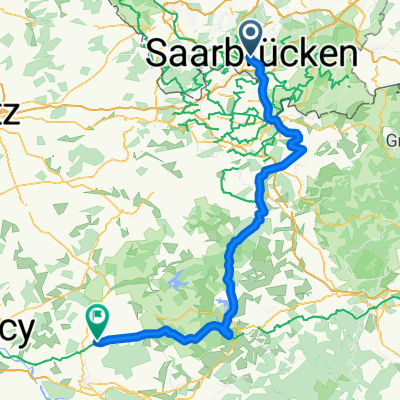 Saarbrücken - Einville-au-Jard
- Distance
- 120 km
- Ascent
- 452 m
- Descent
- 433 m
- Location
- Saarbrücken, Saarland, Germany
 RTF 16. Jumelage Moselle-Saar 2008 RV Blitz Saarbrücken 1897 e.V. 83 km
- Distance
- 78.6 km
- Ascent
- 855 m
- Descent
- 900 m
- Location
- Saarbrücken, Saarland, Germany
 Coal Mining South of the Saar - 16 Tower Tour
- Distance
- 61.8 km
- Ascent
- 582 m
- Descent
- 581 m
- Location
- Saarbrücken, Saarland, Germany
 Feierabendtour
- Distance
- 28.6 km
- Ascent
- 242 m
- Descent
- 251 m
- Location
- Saarbrücken, Saarland, Germany
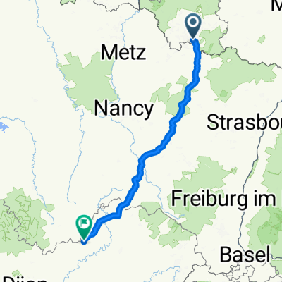
 Saarbrücken - Burgund - Loire - Guerande
- Distance
- 1,093.3 km
- Ascent
- 831 m
- Descent
- 995 m
- Location
- Saarbrücken, Saarland, Germany
 35 km Runde SB-Schoeneck-Neu-Aschbach, Leinpfadhschbach
- Distance
- 34.7 km
- Ascent
- 422 m
- Descent
- 436 m
- Location
- Saarbrücken, Saarland, Germany
Open it in the app