
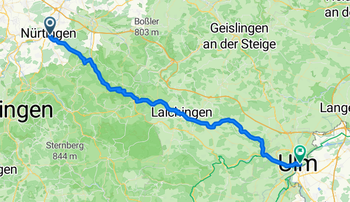
Vorschlag Tag 2 August 2025
A cycling route starting in Nürtingen, Baden-Wurttemberg, Germany.
Overview
About this route
- 4 h 28 min
- Duration
- 70.8 km
- Distance
- 1,103 m
- Ascent
- 904 m
- Descent
- 15.8 km/h
- Avg. speed
- 841 m
- Max. altitude

Route quality
Waytypes & surfaces along the route
Waytypes
Track
36.8 km
(52 %)
Quiet road
17.7 km
(25 %)
Surfaces
Paved
58.7 km
(83 %)
Unpaved
2.1 km
(3 %)
Asphalt
55.2 km
(78 %)
Paved (undefined)
2.8 km
(4 %)
Continue with Bikemap
Use, edit, or download this cycling route
You would like to ride Vorschlag Tag 2 August 2025 or customize it for your own trip? Here is what you can do with this Bikemap route:
Free features
- Save this route as favorite or in collections
- Copy & plan your own version of this route
- Sync your route with Garmin or Wahoo
Premium features
Free trial for 3 days, or one-time payment. More about Bikemap Premium.
- Navigate this route on iOS & Android
- Export a GPX / KML file of this route
- Create your custom printout (try it for free)
- Download this route for offline navigation
Discover more Premium features.
Get Bikemap PremiumFrom our community
Other popular routes starting in Nürtingen
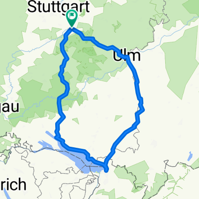
 Nürtingen-Lämmerbuckel und zurück
- Distance
- 86.8 km
- Ascent
- 1,257 m
- Descent
- 1,183 m
- Location
- Nürtingen, Baden-Wurttemberg, Germany
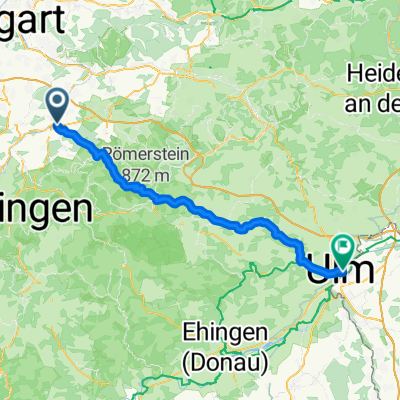
 Nürtingen nach Ulm
- Distance
- 72.4 km
- Ascent
- 1,239 m
- Descent
- 1,036 m
- Location
- Nürtingen, Baden-Wurttemberg, Germany
 Neckartalradweg Ntg - Tü
- Distance
- 64.4 km
- Ascent
- 406 m
- Descent
- 396 m
- Location
- Nürtingen, Baden-Wurttemberg, Germany
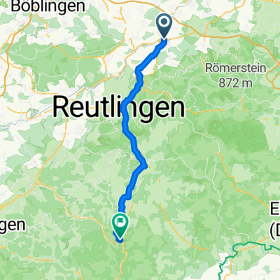 Nürtingen - Gammertingen
- Distance
- 56.2 km
- Ascent
- 1,002 m
- Descent
- 619 m
- Location
- Nürtingen, Baden-Wurttemberg, Germany
 Vorschlag Tag 2 August 2025
- Distance
- 70.8 km
- Ascent
- 1,103 m
- Descent
- 904 m
- Location
- Nürtingen, Baden-Wurttemberg, Germany
 nürtingen-Weiler Hütte
- Distance
- 40.7 km
- Ascent
- 303 m
- Descent
- 259 m
- Location
- Nürtingen, Baden-Wurttemberg, Germany
 2010-Tag9: Nürtlingen-Geradstetten (Zelt)
- Distance
- 56.5 km
- Ascent
- 169 m
- Descent
- 201 m
- Location
- Nürtingen, Baden-Wurttemberg, Germany
 Route in Nürtingen
- Distance
- 401.7 km
- Ascent
- 4,301 m
- Descent
- 4,300 m
- Location
- Nürtingen, Baden-Wurttemberg, Germany
Open it in the app