

흥해읍 33-3 ~ 흥해읍 8-12
A cycling route starting in Heunghae, Gyeongsangbuk-do, South Korea.
Overview
About this route
- 3 h 33 min
- Duration
- 57.5 km
- Distance
- 408 m
- Ascent
- 427 m
- Descent
- 16.1 km/h
- Avg. speed
- 96 m
- Max. altitude

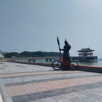
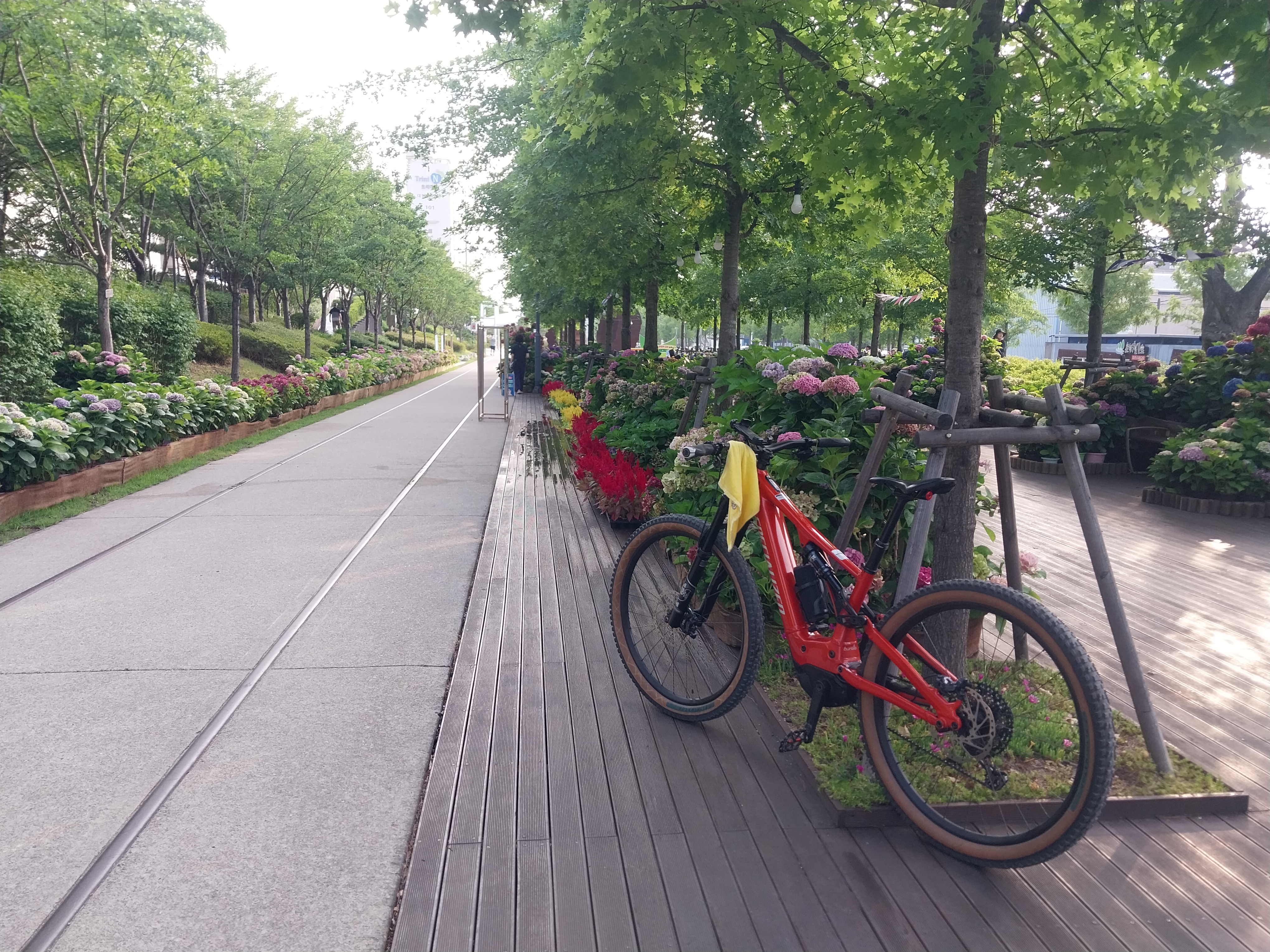
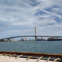
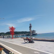
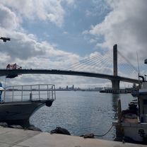
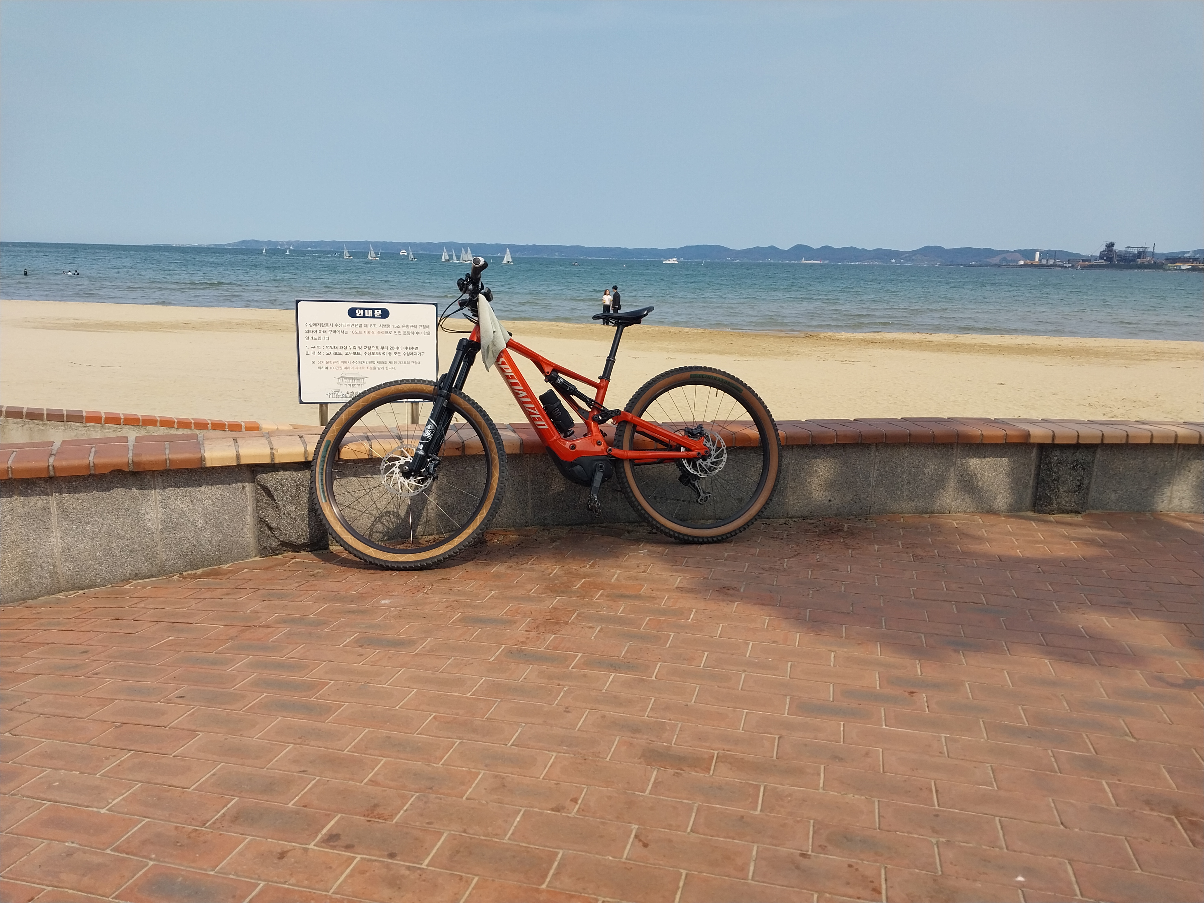
Route photos


Continue with Bikemap
Use, edit, or download this cycling route
You would like to ride 흥해읍 33-3 ~ 흥해읍 8-12 or customize it for your own trip? Here is what you can do with this Bikemap route:
Free features
- Save this route as favorite or in collections
- Copy & plan your own version of this route
- Sync your route with Garmin or Wahoo
Premium features
Free trial for 3 days, or one-time payment. More about Bikemap Premium.
- Navigate this route on iOS & Android
- Export a GPX / KML file of this route
- Create your custom printout (try it for free)
- Download this route for offline navigation
Discover more Premium features.
Get Bikemap PremiumFrom our community
Other popular routes starting in Heunghae
 ~ 제1코스매산
- Distance
- 65.9 km
- Ascent
- 698 m
- Descent
- 727 m
- Location
- Heunghae, Gyeongsangbuk-do, South Korea
 매산제1코스
- Distance
- 66.8 km
- Ascent
- 790 m
- Descent
- 804 m
- Location
- Heunghae, Gyeongsangbuk-do, South Korea
 흥해읍 33-3 ~ 흥해읍 8-12
- Distance
- 35.5 km
- Ascent
- 270 m
- Descent
- 299 m
- Location
- Heunghae, Gyeongsangbuk-do, South Korea
 제2코스철길숲코스
- Distance
- 68.9 km
- Ascent
- 477 m
- Descent
- 483 m
- Location
- Heunghae, Gyeongsangbuk-do, South Korea
 제2코스장성철길공원
- Distance
- 65.5 km
- Ascent
- 549 m
- Descent
- 569 m
- Location
- Heunghae, Gyeongsangbuk-do, South Korea
 흥해읍 8-12 ~ 흥해읍 8-12
- Distance
- 55.8 km
- Ascent
- 611 m
- Descent
- 630 m
- Location
- Heunghae, Gyeongsangbuk-do, South Korea
 제1코스장성철길공원
- Distance
- 66.5 km
- Ascent
- 484 m
- Descent
- 498 m
- Location
- Heunghae, Gyeongsangbuk-do, South Korea
 흥해읍 8-12, 포항시 ~ 흥해읍 8-12, 포항시
- Distance
- 57.7 km
- Ascent
- 312 m
- Descent
- 313 m
- Location
- Heunghae, Gyeongsangbuk-do, South Korea
Open it in the app