
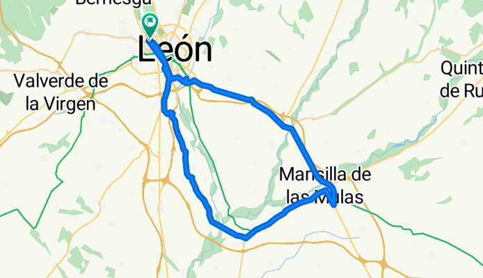
León, Pte Villarente, Mansilla, Palanquinos, Vega de Infanzones, León.
A cycling route starting in San Andrés del Rabanedo, Castille and León, Spain.
Overview
About this route
- 2 h 37 min
- Duration
- 54.8 km
- Distance
- 324 m
- Ascent
- 378 m
- Descent
- 21 km/h
- Avg. speed
- 889 m
- Max. altitude

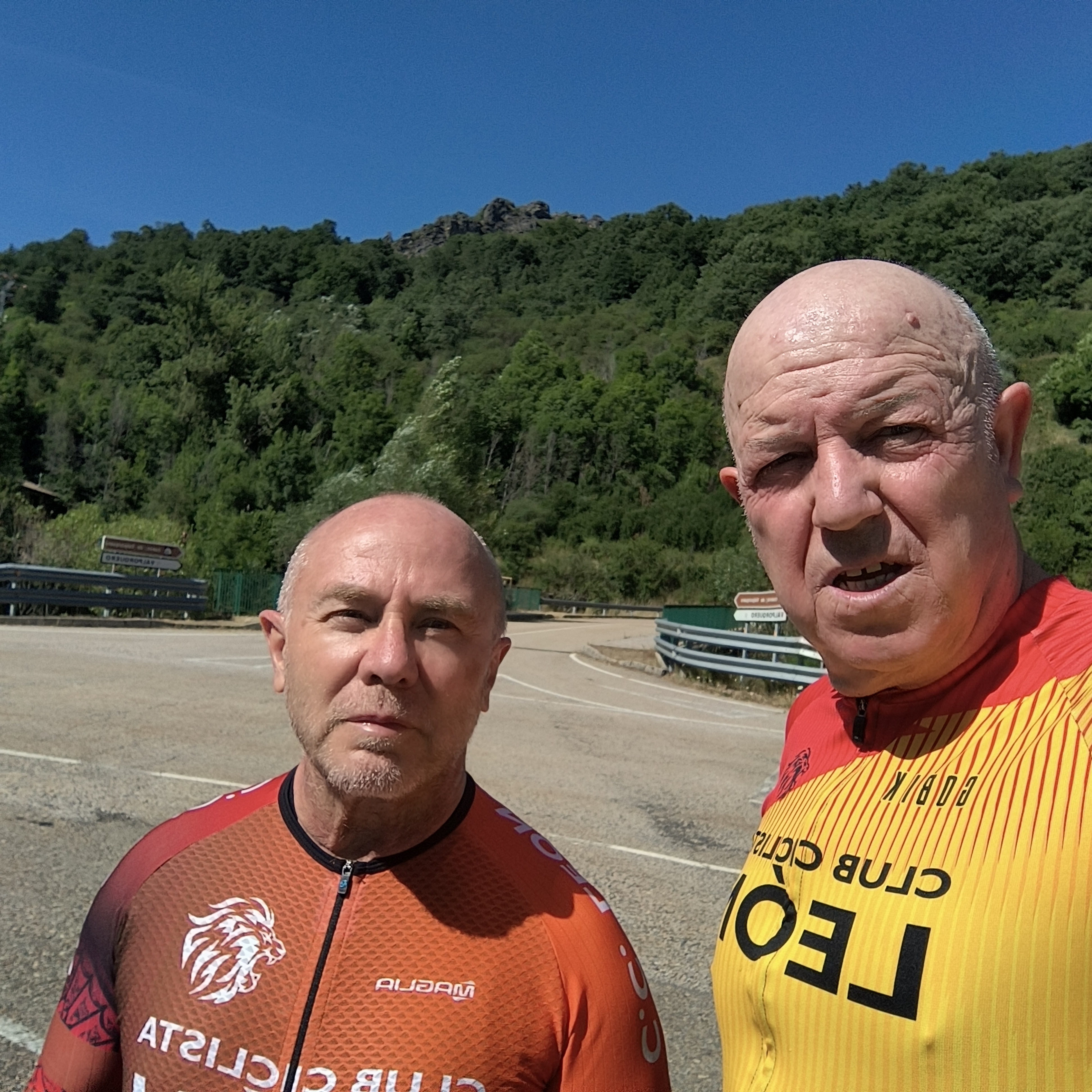
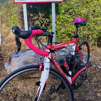
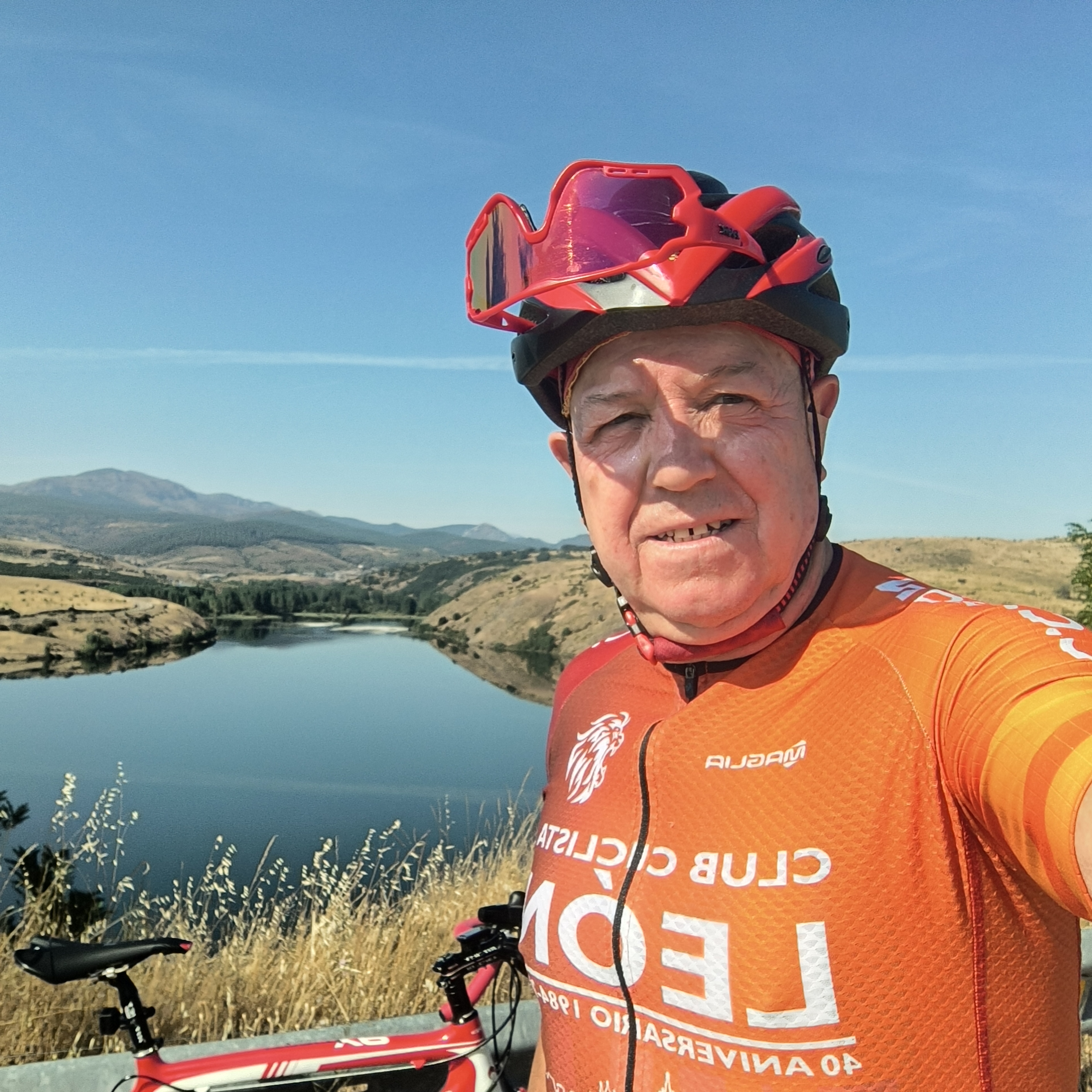
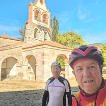
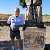
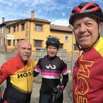
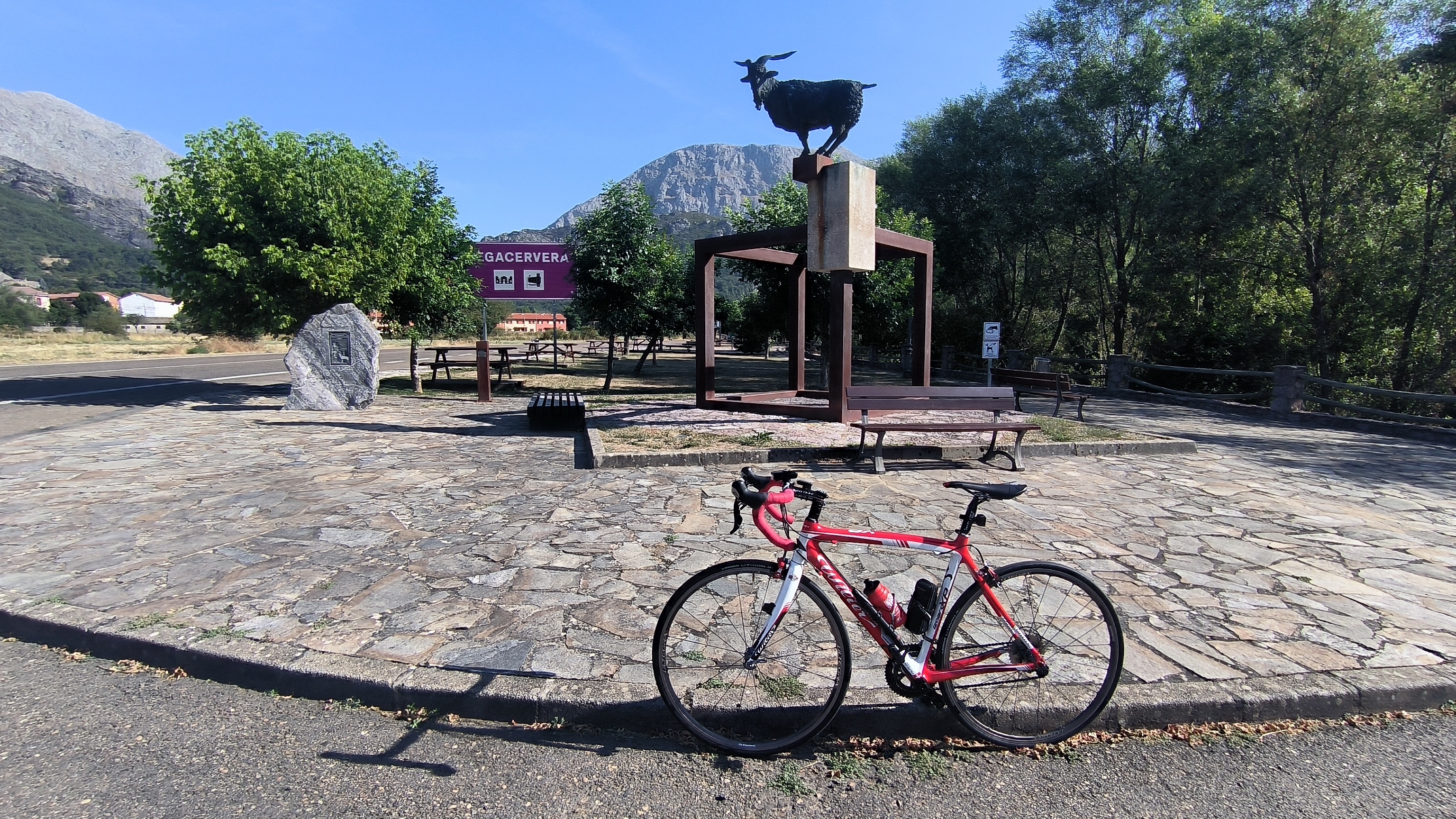
Route photos


Route quality
Waytypes & surfaces along the route
Waytypes
Road
17 km
(31 %)
Cycleway
12.6 km
(23 %)
Surfaces
Paved
46.6 km
(85 %)
Unpaved
1.6 km
(3 %)
Asphalt
45.5 km
(83 %)
Gravel
1.6 km
(3 %)
Continue with Bikemap
Use, edit, or download this cycling route
You would like to ride León, Pte Villarente, Mansilla, Palanquinos, Vega de Infanzones, León. or customize it for your own trip? Here is what you can do with this Bikemap route:
Free features
- Save this route as favorite or in collections
- Copy & plan your own version of this route
- Sync your route with Garmin or Wahoo
Premium features
Free trial for 3 days, or one-time payment. More about Bikemap Premium.
- Navigate this route on iOS & Android
- Export a GPX / KML file of this route
- Create your custom printout (try it for free)
- Download this route for offline navigation
Discover more Premium features.
Get Bikemap PremiumFrom our community
Other popular routes starting in San Andrés del Rabanedo
 81 km. León, Felmín, León.
- Distance
- 81.1 km
- Ascent
- 791 m
- Descent
- 852 m
- Location
- San Andrés del Rabanedo, Castille and León, Spain
 65 km. ruta del 18
- Distance
- 64.9 km
- Ascent
- 679 m
- Descent
- 726 m
- Location
- San Andrés del Rabanedo, Castille and León, Spain
 56 km. ruta de Alcedo.
- Distance
- 56.7 km
- Ascent
- 374 m
- Descent
- 429 m
- Location
- San Andrés del Rabanedo, Castille and León, Spain
 83 km. ruta de Selgas
- Distance
- 81.7 km
- Ascent
- 693 m
- Descent
- 746 m
- Location
- San Andrés del Rabanedo, Castille and León, Spain
 De Avenida San Ignacio de Loyola a Paseo Salamanca
- Distance
- 63.8 km
- Ascent
- 382 m
- Descent
- 428 m
- Location
- San Andrés del Rabanedo, Castille and León, Spain
 65 km. ruta de Reliegos
- Distance
- 65.4 km
- Ascent
- 363 m
- Descent
- 417 m
- Location
- San Andrés del Rabanedo, Castille and León, Spain
 67 km. Fenar
- Distance
- 67.1 km
- Ascent
- 420 m
- Descent
- 483 m
- Location
- San Andrés del Rabanedo, Castille and León, Spain
 88 km. León, Garrafe, Felmín, Matallana, El Fenar, La Robla, Lorenzana, León.
- Distance
- 88.1 km
- Ascent
- 891 m
- Descent
- 955 m
- Location
- San Andrés del Rabanedo, Castille and León, Spain
Open it in the app