2012-09---7 bis 8-tage radtour in den pyrenaeen
- 489.2 km
- 7,694 m
- 7,678 m
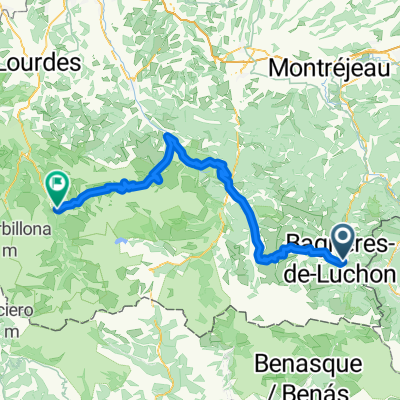
- Bagnères-de-Luchon, Occitanie, France
A cycling route starting in Bagnères-de-Luchon, Occitanie, France.
Overview
<span style="color: #0000ff;"><br /></span>
created this 13 years ago
Route quality
Road
17.8 km
(12 %)
Track
4.4 km
(3 %)
Paved
93.3 km
(63 %)
Unpaved
4.4 km
(3 %)
Asphalt
93.3 km
(63 %)
Ground
3 km
(2 %)
Continue with Bikemap
You would like to ride Stage 17 Tour de France 2012 from Bagnères-de-Luchon to Peyragudes or customize it for your own trip? Here is what you can do with this Bikemap route:
Free trial for 3 days, or one-time payment. More about Bikemap Premium.
Discover more Premium features.
Get Bikemap PremiumFrom our community
Open it in the app