
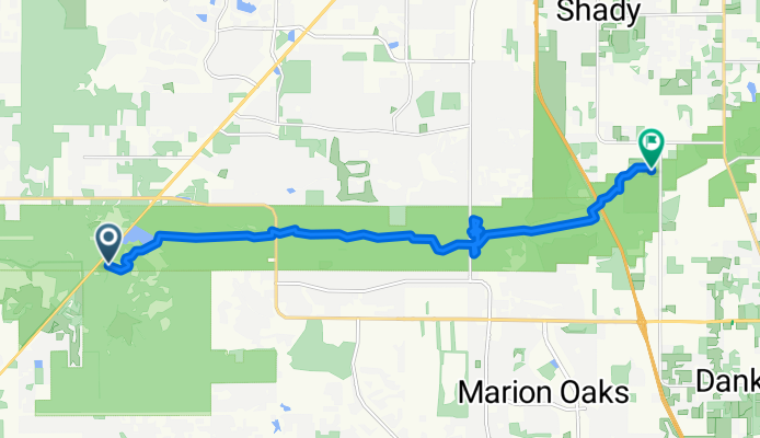
SW Highway 200, Dunnellon to Florida National Scenic Trail, Ocala
A cycling route starting in Dunnellon, Florida, United States.
Overview
About this route
- 1 h 41 min
- Duration
- 21.2 km
- Distance
- 257 m
- Ascent
- 264 m
- Descent
- 12.6 km/h
- Avg. speed
- 38 m
- Max. altitude

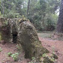
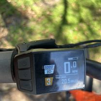
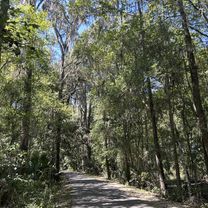
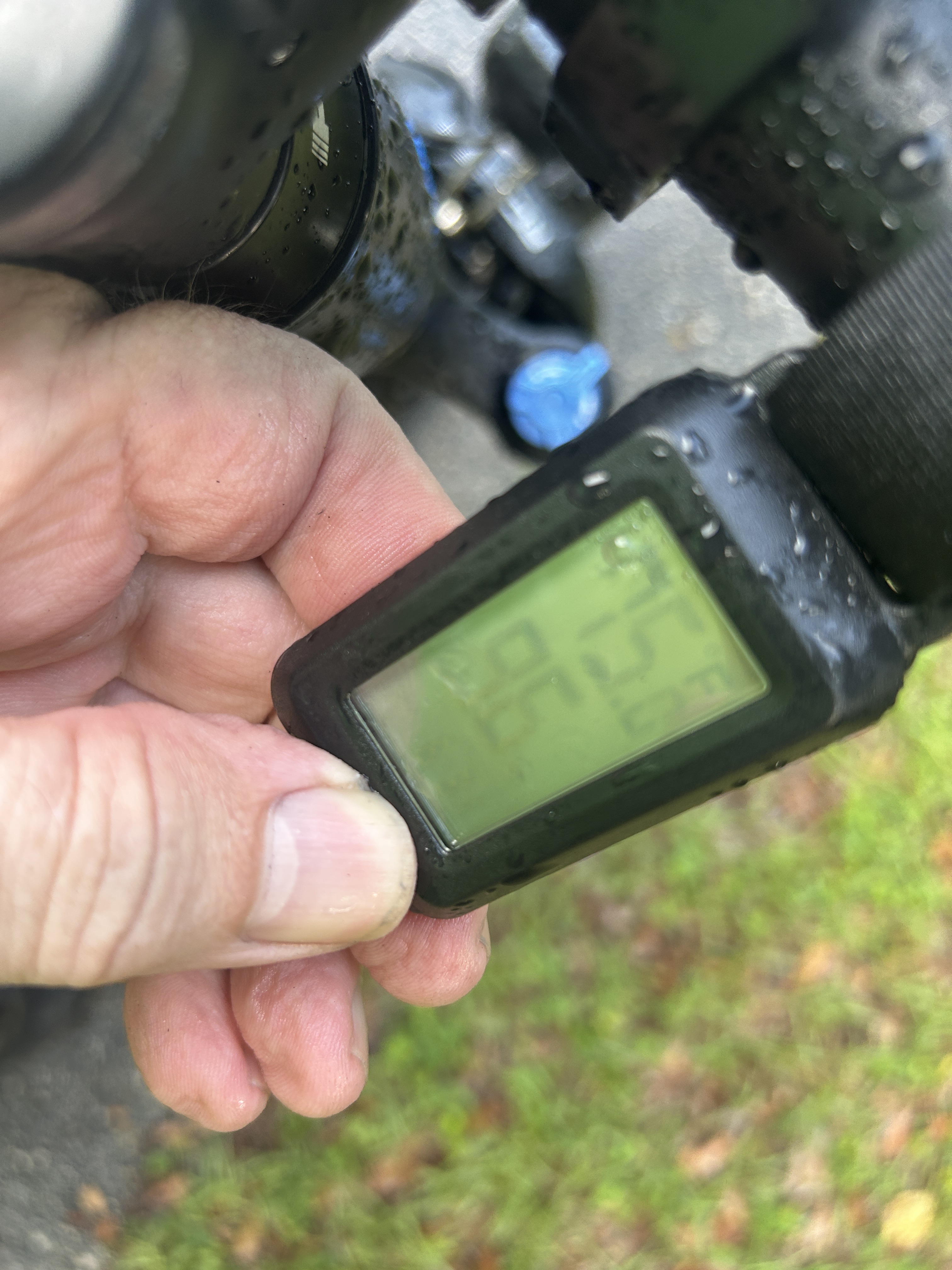
Route photos

Continue with Bikemap
Use, edit, or download this cycling route
You would like to ride SW Highway 200, Dunnellon to Florida National Scenic Trail, Ocala or customize it for your own trip? Here is what you can do with this Bikemap route:
Free features
- Save this route as favorite or in collections
- Copy & plan your own version of this route
- Sync your route with Garmin or Wahoo
Premium features
Free trial for 3 days, or one-time payment. More about Bikemap Premium.
- Navigate this route on iOS & Android
- Export a GPX / KML file of this route
- Create your custom printout (try it for free)
- Download this route for offline navigation
Discover more Premium features.
Get Bikemap PremiumFrom our community
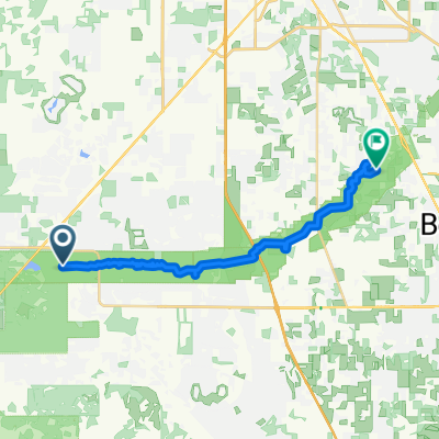
Other popular routes starting in Dunnellon
 Cross Florida Greenway Trail, Dunnellon to Florida National Scenic Trail, Ocala
- Distance
- 14.6 km
- Ascent
- 106 m
- Descent
- 108 m
- Location
- Dunnellon, Florida, United States
 Cross Florida Greenway Trail, Dunnellon to Dunnellon
- Distance
- 34.7 km
- Ascent
- 450 m
- Descent
- 449 m
- Location
- Dunnellon, Florida, United States
 Cross Florida Greenway Trail, Dunnellon to Cross Florida Greenway Trail, Ocala
- Distance
- 25.4 km
- Ascent
- 194 m
- Descent
- 185 m
- Location
- Dunnellon, Florida, United States
 Florida National Scenic Trail, Dunnellon to Florida National Scenic Trail, Ocala
- Distance
- 16.6 km
- Ascent
- 78 m
- Descent
- 79 m
- Location
- Dunnellon, Florida, United States
 Florida National Scenic Trail, Dunnellon to SE 25th Ave, Ocala
- Distance
- 26.4 km
- Ascent
- 263 m
- Descent
- 255 m
- Location
- Dunnellon, Florida, United States
 Dunnellon to E Levy Ct, Floral City
- Distance
- 44.2 km
- Ascent
- 176 m
- Descent
- 169 m
- Location
- Dunnellon, Florida, United States
- SW Highway 200, Dunnellon to Florida National Scenic Trail, Ocala
- Distance
- 21.2 km
- Ascent
- 257 m
- Descent
- 264 m
- Location
- Dunnellon, Florida, United States
 Withlacoochee State Trail, Citrus Springs to Withlacoochee State Trail, Hernando
- Distance
- 17.6 km
- Ascent
- 64 m
- Descent
- 69 m
- Location
- Dunnellon, Florida, United States
Open it in the app