Verdun Luberon
- 570.3 km
- 3,282 m
- 3,280 m
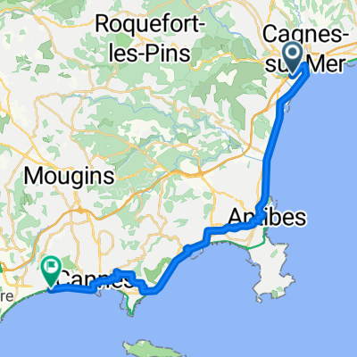
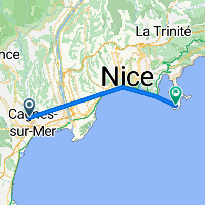
- Cagnes-sur-Mer, Provence-Alpes-Côte d'Azur Region, France
A cycling route starting in Cagnes-sur-Mer, Provence-Alpes-Côte d'Azur Region, France.
Overview
created this 13 years ago
Route highlights
Col d'Èze (507m, cat.3)
Col de la Madone de Gorbio (925m cat.3)
Menton (SI)
Col de Castillon (707m, cat.3)
Col du Turini (1889m, HC)
Contes (SI)
Col de Châteauneuf (623m, cat.3)
Continue with Bikemap
You would like to ride Paris - Nice : 8. Nice - Nice or customize it for your own trip? Here is what you can do with this Bikemap route:
Free trial for 3 days, or one-time payment. More about Bikemap Premium.
Discover more Premium features.
Get Bikemap PremiumFrom our community
Open it in the app