


Par le col de Porte
- 64.3 km
- 1,024 m
- 996 m
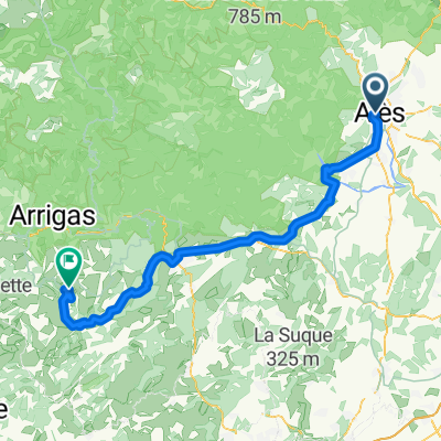
- Alès, Occitanie, France
A cycling route starting in Alès, Occitanie, France.
Overview
created this 13 years ago
Route quality
Road
15.2 km
(33 %)
Quiet road
9.2 km
(20 %)
Paved
16.1 km
(35 %)
Asphalt
16.1 km
(35 %)
Undefined
29.9 km
(65 %)
Route highlights
Col du Bourricot (510m, cat.4)
Continue with Bikemap
You would like to ride Paris - Nice : 5. Alès - Uzès (ITT) or customize it for your own trip? Here is what you can do with this Bikemap route:
Free trial for 3 days, or one-time payment. More about Bikemap Premium.
Discover more Premium features.
Get Bikemap PremiumFrom our community
Open it in the app


![[Itinéraire] Les Vallées du Gardon](https://media.bikemap.net/routes/17206807/staticmaps/in_36e77413-1a72-481e-8b5b-0e2ae2f40631_400x400_bikemap-2021-3D-static.png)
