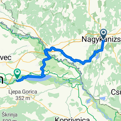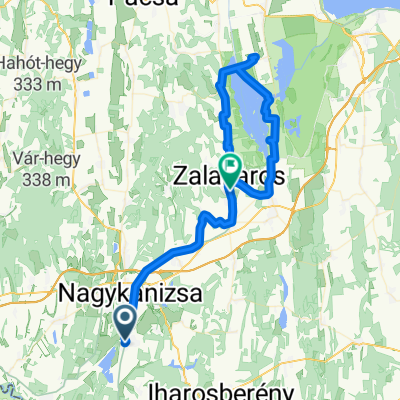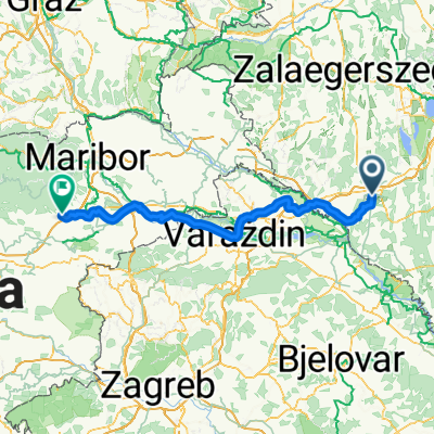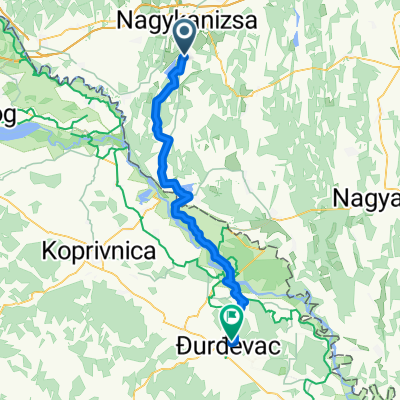

Börzönce1
- 65.4 km
- 327 m
- 327 m
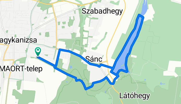
- Nagykanizsa, Zala County, Hungary
A cycling route starting in Nagykanizsa, Zala County, Hungary.
Overview
created this 5 months ago
Route quality
Cycleway
7.2 km
(45 %)
Quiet road
3.5 km
(22 %)
Paved
4 km
(25 %)
Unpaved
7.6 km
(48 %)
Loose gravel
6.4 km
(40 %)
Asphalt
2.9 km
(18 %)
Continue with Bikemap
You would like to ride Bagolai sor, Nagykanizsa - Bagolai sor, Nagykanizsa or customize it for your own trip? Here is what you can do with this Bikemap route:
Free trial for 3 days, or one-time payment. More about Bikemap Premium.
Discover more Premium features.
Get Bikemap PremiumFrom our community
Open it in the app