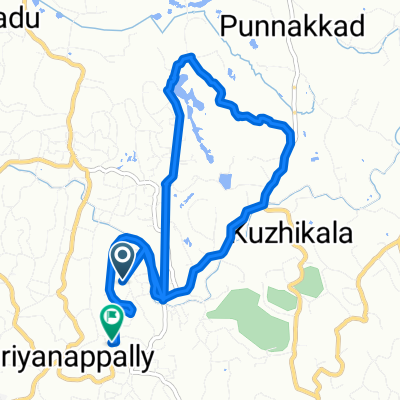

Sporty route in
- 10.4 km
- 37 m
- 39 m
- Chengannūr, Kerala, India
A cycling route starting in Chengannūr, Kerala, India.
Overview
created this 5 months ago


Route quality
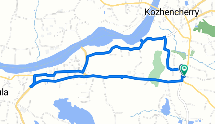
Road
1.6 km
(23 %)
Quiet road
1.1 km
(16 %)
Paved
3 km
(44 %)
Asphalt
3 km
(44 %)
Undefined
3.9 km
(56 %)
Continue with Bikemap
You would like to ride TK Road to State Highway or customize it for your own trip? Here is what you can do with this Bikemap route:
Free trial for 3 days, or one-time payment. More about Bikemap Premium.
Discover more Premium features.
Get Bikemap PremiumFrom our community
Open it in the app