
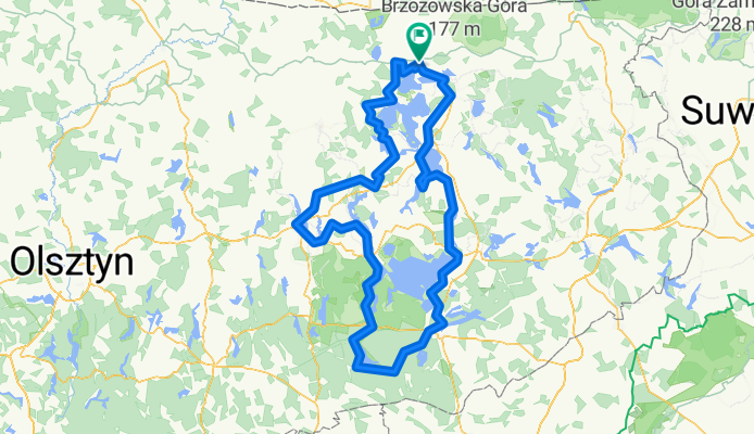
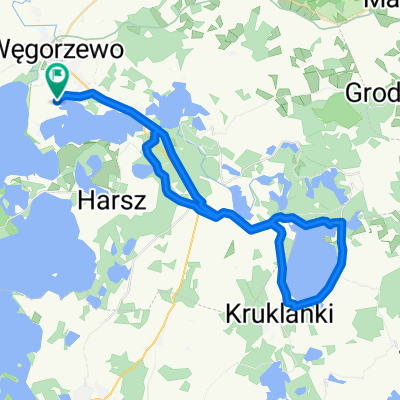
mazurska pętla
A cycling route starting in Węgorzewo, Warmian-Masurian Voivodeship, Poland.
Overview
About this route
- 22 h 47 min
- Duration
- 285.9 km
- Distance
- 1,709 m
- Ascent
- 1,707 m
- Descent
- 12.5 km/h
- Avg. speed
- 198 m
- Max. altitude
Route quality
Waytypes & surfaces along the route
Waytypes
Quiet road
151.5 km
(53 %)
Road
45.7 km
(16 %)
Surfaces
Paved
140.1 km
(49 %)
Unpaved
114.4 km
(40 %)
Asphalt
125.8 km
(44 %)
Gravel
68.6 km
(24 %)
Continue with Bikemap
Use, edit, or download this cycling route
You would like to ride mazurska pętla or customize it for your own trip? Here is what you can do with this Bikemap route:
Free features
- Save this route as favorite or in collections
- Copy & plan your own version of this route
- Split it into stages to create a multi-day tour
- Sync your route with Garmin or Wahoo
Premium features
Free trial for 3 days, or one-time payment. More about Bikemap Premium.
- Navigate this route on iOS & Android
- Export a GPX / KML file of this route
- Create your custom printout (try it for free)
- Download this route for offline navigation
Discover more Premium features.
Get Bikemap PremiumFrom our community
Other popular routes starting in Węgorzewo
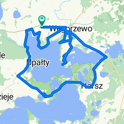 pętla
pętla- Distance
- 76 km
- Ascent
- 335 m
- Descent
- 354 m
- Location
- Węgorzewo, Warmian-Masurian Voivodeship, Poland
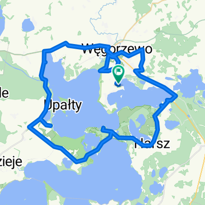
 Mazury dzień 1 pętelka
- Distance
- 60.7 km
- Ascent
- 187 m
- Descent
- 184 m
- Location
- Węgorzewo, Warmian-Masurian Voivodeship, Poland
 Pętelka wokół Mamr
- Distance
- 56.5 km
- Ascent
- 111 m
- Descent
- 111 m
- Location
- Węgorzewo, Warmian-Masurian Voivodeship, Poland
 do Giżycka
- Distance
- 33.1 km
- Ascent
- 141 m
- Descent
- 175 m
- Location
- Węgorzewo, Warmian-Masurian Voivodeship, Poland
 Pętelka wokół Stręgla
- Distance
- 47.1 km
- Ascent
- 145 m
- Descent
- 148 m
- Location
- Węgorzewo, Warmian-Masurian Voivodeship, Poland
 MPR5-Gołdap-47km
- Distance
- 47.2 km
- Ascent
- 341 m
- Descent
- 344 m
- Location
- Węgorzewo, Warmian-Masurian Voivodeship, Poland
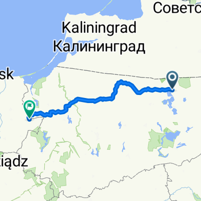 Słowackiego do Odrodzenia
- Distance
- 214.3 km
- Ascent
- 1,128 m
- Descent
- 1,232 m
- Location
- Węgorzewo, Warmian-Masurian Voivodeship, Poland
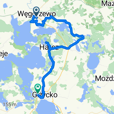 Juliusza Słowackiego, Węgorzewo do al Wojska Polskiego, Giżycko
- Distance
- 53.1 km
- Ascent
- 602 m
- Descent
- 601 m
- Location
- Węgorzewo, Warmian-Masurian Voivodeship, Poland
Open it in the app