
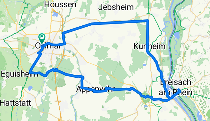
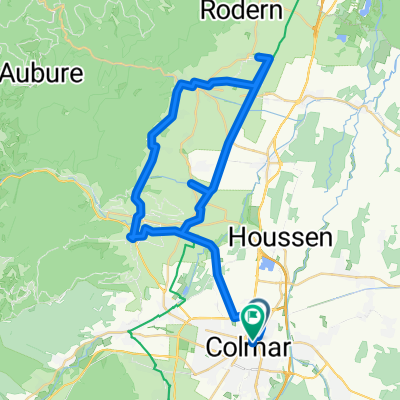
Rue Saint-Léon, Colmar à Rue Saint-Léon, Colmar
A cycling route starting in Colmar, Grand Est, France.
Overview
About this route
- 3 h 48 min
- Duration
- 59.8 km
- Distance
- 132 m
- Ascent
- 134 m
- Descent
- 15.7 km/h
- Avg. speed
- 215 m
- Max. altitude

Continue with Bikemap
Use, edit, or download this cycling route
You would like to ride Rue Saint-Léon, Colmar à Rue Saint-Léon, Colmar or customize it for your own trip? Here is what you can do with this Bikemap route:
Free features
- Save this route as favorite or in collections
- Copy & plan your own version of this route
- Sync your route with Garmin or Wahoo
Premium features
Free trial for 3 days, or one-time payment. More about Bikemap Premium.
- Navigate this route on iOS & Android
- Export a GPX / KML file of this route
- Create your custom printout (try it for free)
- Download this route for offline navigation
Discover more Premium features.
Get Bikemap PremiumFrom our community
Other popular routes starting in Colmar
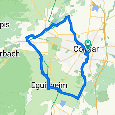
 Colmar<>Freiburg
- Distance
- 45.7 km
- Ascent
- 140 m
- Descent
- 49 m
- Location
- Colmar, Grand Est, France
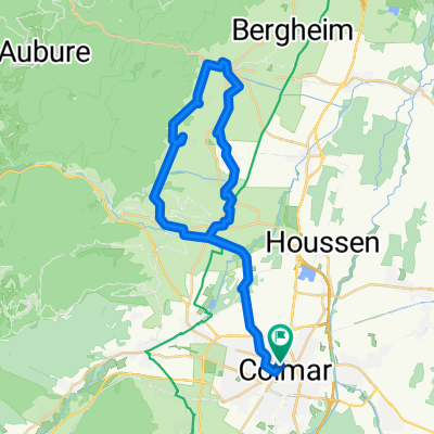
 Tag4 Colmar - Kaysersberg
- Distance
- 13 km
- Ascent
- 78 m
- Descent
- 13 m
- Location
- Colmar, Grand Est, France
 Classique des Vogés
- Distance
- 209.1 km
- Ascent
- 4,428 m
- Descent
- 3,601 m
- Location
- Colmar, Grand Est, France
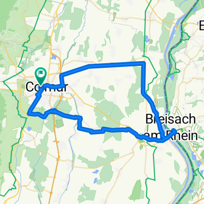
 Rue du Rempart, Colmar to Rue du Rempart, Colmar
- Distance
- 38.8 km
- Ascent
- 409 m
- Descent
- 410 m
- Location
- Colmar, Grand Est, France
 Rue Saint-Léon, Colmar à Rue Saint-Léon, Colmar
- Distance
- 59.8 km
- Ascent
- 132 m
- Descent
- 134 m
- Location
- Colmar, Grand Est, France
 Girolibero: Colmar e l'Alsazia
- Distance
- 363.1 km
- Ascent
- 715 m
- Descent
- 717 m
- Location
- Colmar, Grand Est, France
 Rue du Chasseur to Place Jeanne d'Arc
- Distance
- 28.7 km
- Ascent
- 107 m
- Descent
- 108 m
- Location
- Colmar, Grand Est, France
 Route nach Colmar
- Distance
- 47 km
- Ascent
- 370 m
- Descent
- 365 m
- Location
- Colmar, Grand Est, France
Open it in the app