
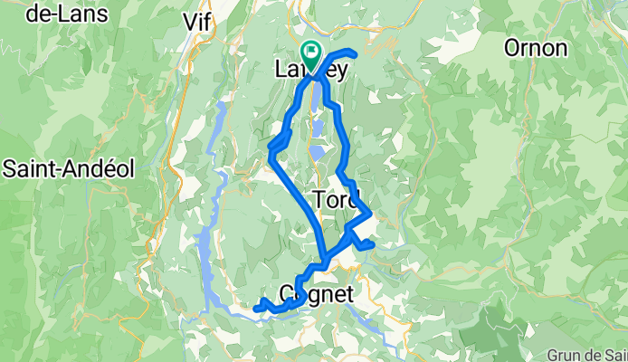
250712_Matheysine_75km
A cycling route starting in Notre-Dame-de-Mésage, Auvergne-Rhône-Alpes, France.
Overview
About this route
- 4 h 11 min
- Duration
- 74.4 km
- Distance
- 962 m
- Ascent
- 1,012 m
- Descent
- 17.8 km/h
- Avg. speed
- 1,089 m
- Max. altitude

Route quality
Waytypes & surfaces along the route
Waytypes
Road
22.3 km
(30 %)
Quiet road
11.9 km
(16 %)
Surfaces
Paved
26.8 km
(36 %)
Asphalt
26.8 km
(36 %)
Undefined
47.6 km
(64 %)
Continue with Bikemap
Use, edit, or download this cycling route
You would like to ride 250712_Matheysine_75km or customize it for your own trip? Here is what you can do with this Bikemap route:
Free features
- Save this route as favorite or in collections
- Copy & plan your own version of this route
- Sync your route with Garmin or Wahoo
Premium features
Free trial for 3 days, or one-time payment. More about Bikemap Premium.
- Navigate this route on iOS & Android
- Export a GPX / KML file of this route
- Create your custom printout (try it for free)
- Download this route for offline navigation
Discover more Premium features.
Get Bikemap PremiumFrom our community
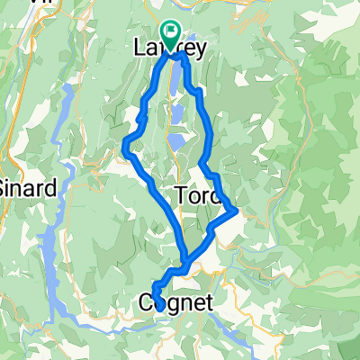
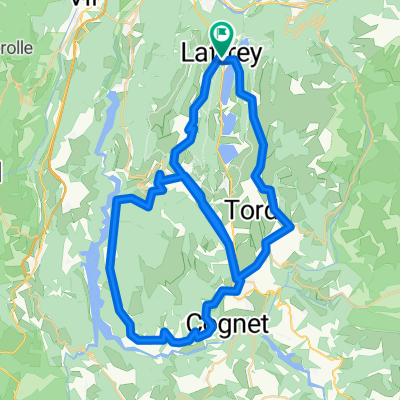
Other popular routes starting in Notre-Dame-de-Mésage
 grenoble - alpe d'huez
- Distance
- 46.2 km
- Ascent
- 1,811 m
- Descent
- 238 m
- Location
- Notre-Dame-de-Mésage, Auvergne-Rhône-Alpes, France
 corniche du drac départ Lafrey
- Distance
- 55.3 km
- Ascent
- 782 m
- Descent
- 779 m
- Location
- Notre-Dame-de-Mésage, Auvergne-Rhône-Alpes, France
 251002_Laffrey_petit
- Distance
- 45.1 km
- Ascent
- 510 m
- Descent
- 561 m
- Location
- Notre-Dame-de-Mésage, Auvergne-Rhône-Alpes, France
 250907_cornicheDrac
- Distance
- 71.3 km
- Ascent
- 1,004 m
- Descent
- 1,045 m
- Location
- Notre-Dame-de-Mésage, Auvergne-Rhône-Alpes, France
 tour du sénépi
- Distance
- 55.9 km
- Ascent
- 810 m
- Descent
- 811 m
- Location
- Notre-Dame-de-Mésage, Auvergne-Rhône-Alpes, France
 Vizille Chamrousse par le Pinet et les Seiglières
- Distance
- 65.6 km
- Ascent
- 1,543 m
- Descent
- 1,543 m
- Location
- Notre-Dame-de-Mésage, Auvergne-Rhône-Alpes, France
 De Laffrey à Route des Quatre Fontaines, Notre-Dame-de-Vaulx
- Distance
- 27.4 km
- Ascent
- 345 m
- Descent
- 297 m
- Location
- Notre-Dame-de-Mésage, Auvergne-Rhône-Alpes, France
 Vizillle La Mure
- Distance
- 33.2 km
- Ascent
- 848 m
- Descent
- 261 m
- Location
- Notre-Dame-de-Mésage, Auvergne-Rhône-Alpes, France
Open it in the app