
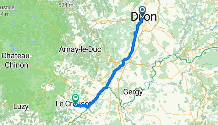
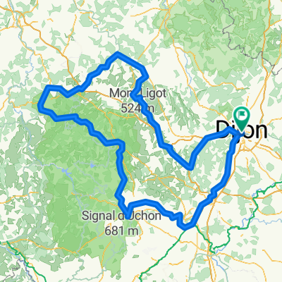
De Cour de la gare à Rue Hoche
A cycling route starting in Dijon, Bourgogne-Franche-Comté, France.
Overview
About this route
- 5 h 21 min
- Duration
- 93.7 km
- Distance
- 688 m
- Ascent
- 583 m
- Descent
- 17.5 km/h
- Avg. speed
- 363 m
- Max. altitude
Route quality
Waytypes & surfaces along the route
Waytypes
Quiet road
48.7 km
(52 %)
Road
19.7 km
(21 %)
Surfaces
Paved
61.8 km
(66 %)
Asphalt
60.9 km
(65 %)
Paved (undefined)
0.9 km
(1 %)
Undefined
31.9 km
(34 %)
Continue with Bikemap
Use, edit, or download this cycling route
You would like to ride De Cour de la gare à Rue Hoche or customize it for your own trip? Here is what you can do with this Bikemap route:
Free features
- Save this route as favorite or in collections
- Copy & plan your own version of this route
- Split it into stages to create a multi-day tour
- Sync your route with Garmin or Wahoo
Premium features
Free trial for 3 days, or one-time payment. More about Bikemap Premium.
- Navigate this route on iOS & Android
- Export a GPX / KML file of this route
- Create your custom printout (try it for free)
- Download this route for offline navigation
Discover more Premium features.
Get Bikemap PremiumFrom our community
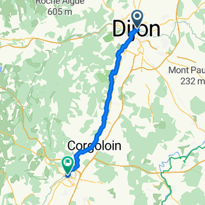
Other popular routes starting in Dijon
 Savigny-lès-Beaune - Ancy-le-Franc
- Distance
- 112.6 km
- Ascent
- 467 m
- Descent
- 495 m
- Location
- Dijon, Bourgogne-Franche-Comté, France
 Dijon-Pasques-Val-Suzon
- Distance
- 49.9 km
- Ascent
- 573 m
- Descent
- 482 m
- Location
- Dijon, Bourgogne-Franche-Comté, France
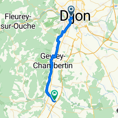 De Cour de la gare à La Berchère
- Distance
- 26.6 km
- Ascent
- 157 m
- Descent
- 168 m
- Location
- Dijon, Bourgogne-Franche-Comté, France
 Rue Vaillant, Dijon nach Rue Vaillant, Dijon
- Distance
- 417.5 km
- Ascent
- 4,228 m
- Descent
- 4,230 m
- Location
- Dijon, Bourgogne-Franche-Comté, France
 From Dijon to Beaune
- Distance
- 46.8 km
- Ascent
- 273 m
- Descent
- 305 m
- Location
- Dijon, Bourgogne-Franche-Comté, France
 Pouilly-en-Auxois - Corpeau
- Distance
- 130.3 km
- Ascent
- 863 m
- Descent
- 840 m
- Location
- Dijon, Bourgogne-Franche-Comté, France
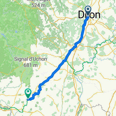
 La Cras - Velars - La Pérouse
- Distance
- 26.6 km
- Ascent
- 435 m
- Descent
- 434 m
- Location
- Dijon, Bourgogne-Franche-Comté, France
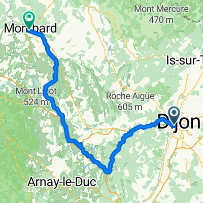
 5 Dijon - Montbard Camping Municipal
- Distance
- 79.3 km
- Ascent
- 339 m
- Descent
- 370 m
- Location
- Dijon, Bourgogne-Franche-Comté, France
Open it in the app